5276 Warhawk Ave Las Vegas, NV 89115
Estimated Value: $326,000 - $358,864
3
Beds
3
Baths
1,334
Sq Ft
$261/Sq Ft
Est. Value
About This Home
This home is located at 5276 Warhawk Ave, Las Vegas, NV 89115 and is currently estimated at $347,966, approximately $260 per square foot. 5276 Warhawk Ave is a home located in Clark County with nearby schools including J.E. Manch Elementary School, Zel & Mary Lowman Elementary School, and Carroll M. Johnston STEM Academy of Environmental Studies.
Ownership History
Date
Name
Owned For
Owner Type
Purchase Details
Closed on
Dec 27, 1994
Sold by
Woodside Homes Of Nevada Inc
Bought by
Childs Sylvester and Childs Shelia L
Current Estimated Value
Home Financials for this Owner
Home Financials are based on the most recent Mortgage that was taken out on this home.
Original Mortgage
$93,252
Interest Rate
9.2%
Mortgage Type
FHA
Create a Home Valuation Report for This Property
The Home Valuation Report is an in-depth analysis detailing your home's value as well as a comparison with similar homes in the area
Home Values in the Area
Average Home Value in this Area
Purchase History
| Date | Buyer | Sale Price | Title Company |
|---|---|---|---|
| Childs Sylvester | $95,500 | Old Republic Title Company |
Source: Public Records
Mortgage History
| Date | Status | Borrower | Loan Amount |
|---|---|---|---|
| Closed | Childs Sylvester | $93,252 |
Source: Public Records
Tax History Compared to Growth
Tax History
| Year | Tax Paid | Tax Assessment Tax Assessment Total Assessment is a certain percentage of the fair market value that is determined by local assessors to be the total taxable value of land and additions on the property. | Land | Improvement |
|---|---|---|---|---|
| 2025 | $1,283 | $75,352 | $25,358 | $49,994 |
| 2024 | $1,247 | $75,352 | $25,358 | $49,994 |
| 2023 | $1,247 | $76,108 | $28,578 | $47,530 |
| 2022 | $1,212 | $65,206 | $21,735 | $43,471 |
| 2021 | $905 | $61,601 | $20,125 | $41,476 |
| 2020 | $908 | $60,515 | $19,320 | $41,195 |
| 2019 | $715 | $51,827 | $16,100 | $35,727 |
| 2018 | $683 | $44,085 | $9,800 | $34,285 |
| 2017 | $1,255 | $42,797 | $8,050 | $34,747 |
| 2016 | $640 | $37,182 | $5,950 | $31,232 |
| 2015 | $638 | $27,442 | $3,850 | $23,592 |
| 2014 | $619 | $20,483 | $3,850 | $16,633 |
Source: Public Records
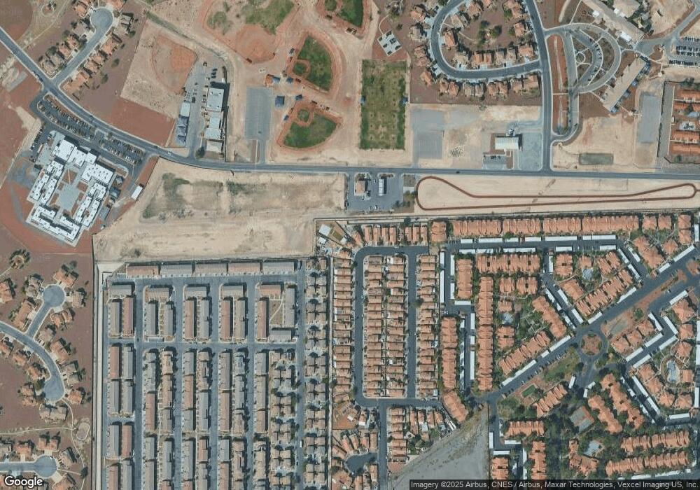
Map
Nearby Homes
- 4589 Spitfire St
- 4585 Spitfire St
- 4642 Townwall St
- 4648 Woolcomber St
- 4612 Townwall St
- 4626 Pencester St
- 4603 Woolcomber St
- 4640 Dover Straight St
- 4561 Woolcomber St
- 4537 Townwall St
- 4579 Pencester St
- 5109 Steep Cliffs Ave
- 4533 Townwall St
- 4516 Townwall St
- 5209 Silica Chalk Ave
- 5183 Silica Chalk Ave
- 4502 Dover Straight St
- 4437 Dover Straight St Unit 104
- 4437 Dover Straight St Unit 202
- 4300 N Lamont St Unit 216
- 5282 Warhawk Ave
- 4673 Skybolt St
- 4671 Skybolt St
- 5288 Warhawk Ave
- 4663 Skybolt St
- 4674 Skybolt St
- 5294 Warhawk Ave
- 4654 Lime Straight Dr
- 4668 Skybolt St
- 4657 Skybolt St
- 5302 Warhawk Ave
- 4660 Skybolt St
- 4660 Skybolt St Unit n/a
- 4658 Lime Straight Dr
- 4651 Skybolt St
- 4650 Lime Straight Dr
- 4654 Skybolt St
- 5308 Warhawk Ave
- 4647 Skybolt St
- 4646 Lime Straight Dr