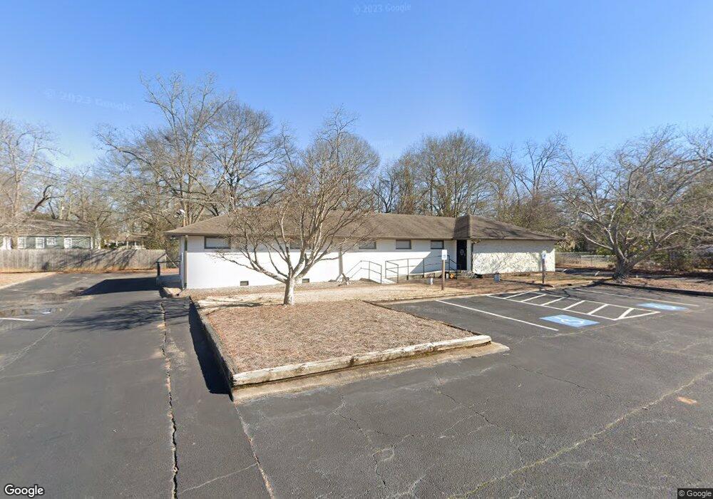
5278 Adams St NE Covington, GA 30014
Estimated Value: $659,068
--
Bed
19
Baths
3,613
Sq Ft
$182/Sq Ft
Est. Value
About This Home
This home is located at 5278 Adams St NE, Covington, GA 30014 and is currently estimated at $659,068, approximately $182 per square foot. 5278 Adams St NE is a home located in Newton County with nearby schools including East Newton Elementary School, Cousins Middle School, and Eastside High School.
Ownership History
Date
Name
Owned For
Owner Type
Purchase Details
Closed on
Aug 14, 2019
Sold by
Patton Victoria G
Bought by
Newton Pregnancy Resource Center Inc
Current Estimated Value
Home Financials for this Owner
Home Financials are based on the most recent Mortgage that was taken out on this home.
Original Mortgage
$150,000
Interest Rate
3.8%
Mortgage Type
New Conventional
Purchase Details
Closed on
Mar 29, 2004
Sold by
Park G Timothy
Bought by
Adams St Props Llc
Create a Home Valuation Report for This Property
The Home Valuation Report is an in-depth analysis detailing your home's value as well as a comparison with similar homes in the area
Home Values in the Area
Average Home Value in this Area
Purchase History
| Date | Buyer | Sale Price | Title Company |
|---|---|---|---|
| Newton Pregnancy Resource Center Inc | $375,000 | -- | |
| Patton Victoria G | -- | -- | |
| Adams St Props Llc | -- | -- |
Source: Public Records
Mortgage History
| Date | Status | Borrower | Loan Amount |
|---|---|---|---|
| Closed | Patton Victoria G | $150,000 |
Source: Public Records
Tax History Compared to Growth
Tax History
| Year | Tax Paid | Tax Assessment Tax Assessment Total Assessment is a certain percentage of the fair market value that is determined by local assessors to be the total taxable value of land and additions on the property. | Land | Improvement |
|---|---|---|---|---|
| 2024 | -- | $166,640 | $52,240 | $114,400 |
| 2023 | $5,357 | $155,560 | $52,240 | $103,320 |
| 2022 | $5,357 | $147,520 | $52,240 | $95,280 |
| 2021 | $4,351 | $119,800 | $52,240 | $67,560 |
| 2020 | $4,940 | $123,840 | $52,240 | $71,600 |
| 2019 | $5,063 | $124,600 | $52,240 | $72,360 |
| 2018 | $2,560 | $124,600 | $52,240 | $72,360 |
| 2017 | $5,365 | $130,560 | $52,240 | $78,320 |
| 2016 | $5,365 | $130,560 | $52,240 | $78,320 |
| 2015 | $5,429 | $131,960 | $52,280 | $79,680 |
| 2014 | $5,428 | $131,960 | $0 | $0 |
Source: Public Records
Map
Nearby Homes
- 5130 N Dearing St NE
- 6127 Floyd St NE
- 0 Highway 278 NE Unit 10595588
- 5139 West Dr NE
- 4105 Rose Ln NE
- 6104 Floyd St NE
- 4217 Elizabeth St NE
- 5150 Wheat St NE
- 6192 Collins St NE
- 6193 Collins St NE
- 4181 A&B Floyd St NE
- 4128 Elizabeth St NE
- 5118 Floyd St NE
- 3127 Mill St SE
- 3149 Thompson Ave SE
- 3112 Floyd St NE
- 10630 Highway 278 NE
- 3183 Conyers St SE
- 2173 Anderson Ave SE
- 4187 Cherry Laurel Dr SE
- 5264 Adams St NE
- 6139 Gordy St NE
- 6129 Gordy St NE
- 6149 Gordy St NE
- 5294 Adams St
- 5277 Adams St NE
- 5269 Adams St NE
- 6151 Gordy St NE
- 5303 Adams St Unit 6
- 5303 Adams St
- 5191 Newton Dr NE
- 5201 Newton Dr NE
- 0 Gordy St NE Unit 8774225
- 0 Gordy St NE Unit 7283698
- 5261 Adams St NE
- 6103 Newton Dr NE
- 6111 Newton Dr NE
- 6136 Gordy St NE
- 6128 Gordy St NE
- 5134 Cook St NE