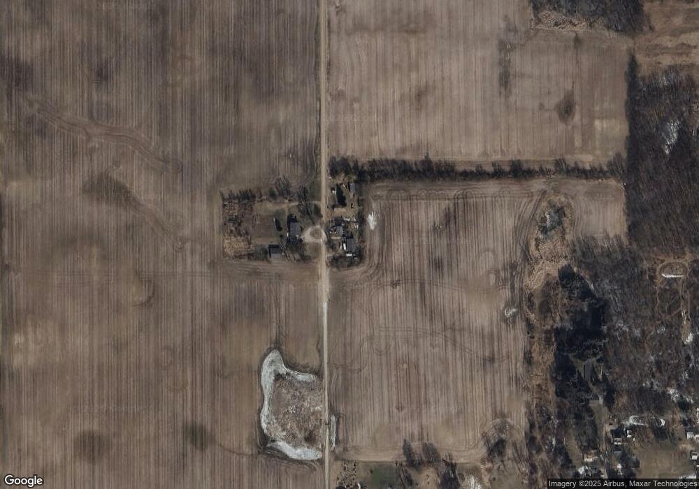
5279 Denning Rd North Adams, MI 49262
Estimated Value: $195,000 - $252,000
3
Beds
2
Baths
1,536
Sq Ft
$139/Sq Ft
Est. Value
About This Home
This home is located at 5279 Denning Rd, North Adams, MI 49262 and is currently estimated at $213,512, approximately $139 per square foot. 5279 Denning Rd is a home located in Hillsdale County with nearby schools including North Adams-Jerome Elementary School and North Adams-Jerome Middle/High School.
Ownership History
Date
Name
Owned For
Owner Type
Purchase Details
Closed on
May 30, 2008
Sold by
Deck Gary D and Deck Bessie M
Bought by
Household Finance Corp Iii
Current Estimated Value
Purchase Details
Closed on
Oct 6, 1997
Sold by
Deck Thomas F and Deck Bessie M
Bought by
Deck Gary D
Create a Home Valuation Report for This Property
The Home Valuation Report is an in-depth analysis detailing your home's value as well as a comparison with similar homes in the area
Home Values in the Area
Average Home Value in this Area
Purchase History
| Date | Buyer | Sale Price | Title Company |
|---|---|---|---|
| Household Finance Corp Iii | $73,660 | None Available | |
| Deck Gary D | -- | -- |
Source: Public Records
Tax History Compared to Growth
Tax History
| Year | Tax Paid | Tax Assessment Tax Assessment Total Assessment is a certain percentage of the fair market value that is determined by local assessors to be the total taxable value of land and additions on the property. | Land | Improvement |
|---|---|---|---|---|
| 2025 | $1,637 | $78,800 | $0 | $0 |
| 2024 | $451 | $68,700 | $0 | $0 |
| 2023 | $430 | $66,900 | $0 | $0 |
| 2022 | $1,489 | $61,700 | $0 | $0 |
| 2021 | $1,440 | $57,200 | $0 | $0 |
| 2020 | $1,427 | $57,200 | $0 | $0 |
| 2019 | $1,415 | $49,500 | $0 | $0 |
| 2018 | $1,365 | $44,200 | $0 | $0 |
| 2017 | $1,324 | $44,070 | $0 | $0 |
| 2016 | $1,312 | $40,630 | $0 | $0 |
| 2015 | $362 | $40,630 | $0 | $0 |
| 2013 | $351 | $45,540 | $0 | $0 |
| 2012 | $343 | $37,740 | $0 | $0 |
Source: Public Records
Map
Nearby Homes
- 6333 Brown Rd
- 5160 Barker Rd
- 5435 State Rd
- 0 Moscow Rd
- 0 Combs Rd
- 4219 Kim Dr
- 5560 Dewey Rd
- 2331 Slater Rd
- 3189 N Lake Pleasant Rd
- 4794 Keith Rd
- 4745 Keith Rd
- 8470 Moscow Rd
- 4545 State Rd
- 6838 Moreland Rd
- 0 Gay Rd Unit 25052115
- 7751 Moreland Rd
- 0 Oakridge Dr
- V/L Half Moon Lake Rd
- 9159-D Moreland Rd
- 9159 Moreland Rd