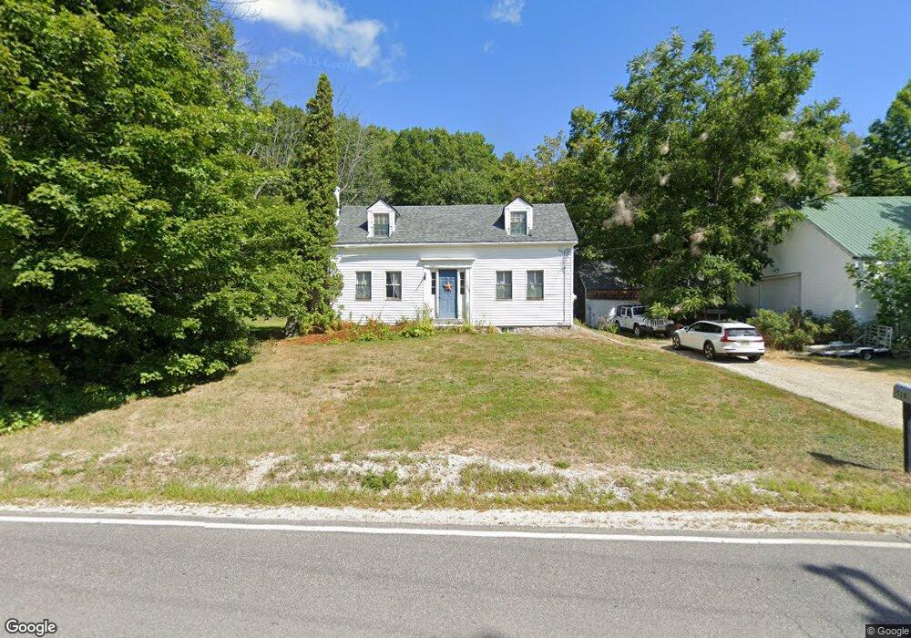
528 Doles Ridge Rd Limerick, ME 04048
Estimated Value: $337,000 - $380,000
2
Beds
1
Bath
976
Sq Ft
$361/Sq Ft
Est. Value
About This Home
This home is located at 528 Doles Ridge Rd, Limerick, ME 04048 and is currently estimated at $352,454, approximately $361 per square foot. 528 Doles Ridge Rd is a home located in York County with nearby schools including Massabesic High School.
Ownership History
Date
Name
Owned For
Owner Type
Purchase Details
Closed on
Dec 24, 2008
Sold by
Doles Pond Land Co Llc
Bought by
Tarbox Michael A and Tarbox Catherine C
Current Estimated Value
Home Financials for this Owner
Home Financials are based on the most recent Mortgage that was taken out on this home.
Original Mortgage
$149,129
Outstanding Balance
$101,223
Interest Rate
6.17%
Mortgage Type
FHA
Estimated Equity
$251,231
Create a Home Valuation Report for This Property
The Home Valuation Report is an in-depth analysis detailing your home's value as well as a comparison with similar homes in the area
Home Values in the Area
Average Home Value in this Area
Purchase History
| Date | Buyer | Sale Price | Title Company |
|---|---|---|---|
| Tarbox Michael A | -- | -- |
Source: Public Records
Mortgage History
| Date | Status | Borrower | Loan Amount |
|---|---|---|---|
| Open | Tarbox Michael A | $12,041 | |
| Open | Tarbox Michael A | $149,129 |
Source: Public Records
Tax History Compared to Growth
Tax History
| Year | Tax Paid | Tax Assessment Tax Assessment Total Assessment is a certain percentage of the fair market value that is determined by local assessors to be the total taxable value of land and additions on the property. | Land | Improvement |
|---|---|---|---|---|
| 2025 | $2,863 | $301,388 | $91,108 | $210,280 |
| 2024 | $2,863 | $301,388 | $91,108 | $210,280 |
| 2023 | $3,065 | $201,676 | $46,450 | $155,226 |
| 2022 | $2,864 | $201,676 | $46,450 | $155,226 |
| 2021 | $2,678 | $161,341 | $37,160 | $124,181 |
| 2020 | $2,646 | $161,341 | $37,160 | $124,181 |
| 2019 | $2,541 | $161,341 | $37,160 | $124,181 |
| 2018 | $2,606 | $161,341 | $37,160 | $124,181 |
| 2017 | $2,541 | $161,341 | $37,160 | $124,181 |
| 2016 | $2,428 | $161,341 | $37,160 | $124,181 |
| 2015 | $2,356 | $161,341 | $37,160 | $124,181 |
| 2014 | $2,283 | $161,341 | $37,160 | $124,181 |
Source: Public Records
Map
Nearby Homes
- 13 Quaker Ln
- 48 King Hill Rd
- 00 Doles Ridge Rd
- 685 Crystal Ln
- 386 Lenox Cir
- 107 Sequoia Ln
- 60 Sequoia Ln
- 17 High Point Cir
- 0 Island Rd Unit 1643509
- 50 Island Rd
- Lot 2203 Kennedy Dr
- 138 Fairview Dr
- 55 Sportsmans Way
- 14 Mallard Dr
- 56 Paradise Ln
- 4 Deer Crossing Rd
- LOT# 8 Business Park Rd
- Lot# 11 Business Park Rd
- 4 Dragonfly Cir
- TBD New Dam Rd
- 542 Doles Ridge Rd
- 486 Doles Ridge Rd
- 83 New Dam Rd
- 65 New Dam Rd
- 482 Doles Ridge Rd
- 476 Doles Ridge Rd
- 556 Doles Ridge Rd
- 555 Doles Ridge Rd
- 1 New Dam Rd
- 474 Doles Ridge Rd
- 100 Stony Brook Dr
- 78 Stony Brook Dr
- 76 Stoney Brook Rd
- 472 Doles Ridge Rd
- 753 Stony Brook Dr
- 76 Stony Brook Dr
- 16 New Dam Rd
- 1 Nutwood Cir
- 468 Doles Ridge Rd