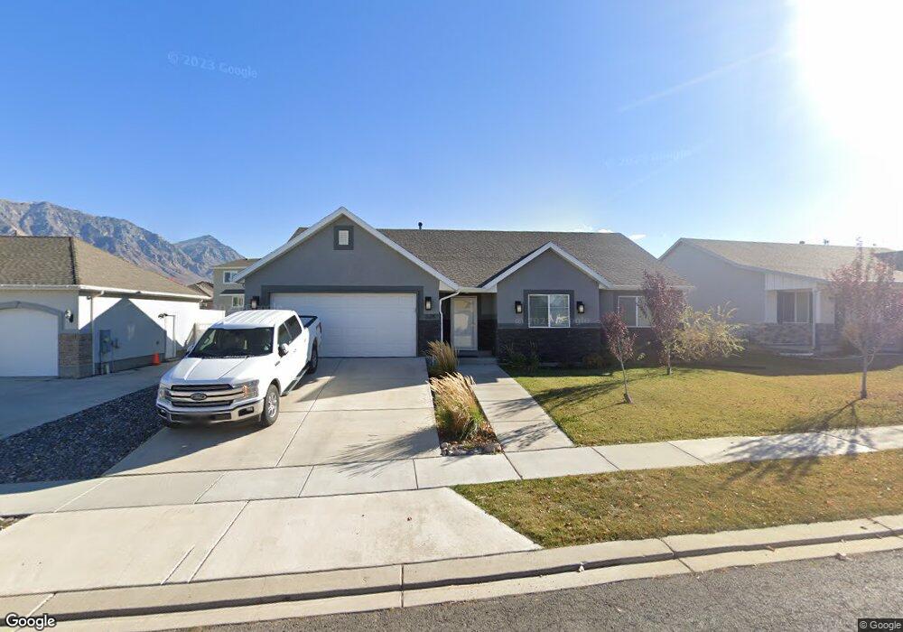
528 Little Rock Dr Unit 114 Santaquin, UT 84655
Estimated Value: $522,000 - $605,000
3
Beds
2
Baths
3,800
Sq Ft
$148/Sq Ft
Est. Value
About This Home
This home is located at 528 Little Rock Dr Unit 114, Santaquin, UT 84655 and is currently estimated at $560,569, approximately $147 per square foot. 528 Little Rock Dr Unit 114 is a home located in Utah County with nearby schools including Santaquin Elementary School, Payson Junior High School, and Payson High School.
Ownership History
Date
Name
Owned For
Owner Type
Purchase Details
Closed on
Jan 10, 2024
Sold by
Pastir Michael and Pastir Jennifer L
Bought by
Michael And Jennifer Pastir Living Trust and Pastir
Current Estimated Value
Purchase Details
Closed on
Jun 26, 2017
Sold by
Pastir Michael
Bought by
Pastir Michael and Pastir Jennifer L
Home Financials for this Owner
Home Financials are based on the most recent Mortgage that was taken out on this home.
Original Mortgage
$309,195
Interest Rate
4.5%
Mortgage Type
FHA
Purchase Details
Closed on
Jun 23, 2016
Sold by
K & L Homes Llc
Bought by
Les Allen Construscton Magagement Inc
Home Financials for this Owner
Home Financials are based on the most recent Mortgage that was taken out on this home.
Original Mortgage
$195,585
Interest Rate
3.6%
Mortgage Type
Small Business Administration
Purchase Details
Closed on
Sep 29, 2011
Sold by
Summit Ridge Communities Llc
Bought by
Central Bank
Create a Home Valuation Report for This Property
The Home Valuation Report is an in-depth analysis detailing your home's value as well as a comparison with similar homes in the area
Home Values in the Area
Average Home Value in this Area
Purchase History
| Date | Buyer | Sale Price | Title Company |
|---|---|---|---|
| Michael And Jennifer Pastir Living Trust | -- | None Listed On Document | |
| Pastir Michael | -- | Metro National Title | |
| Pastir Michael | -- | Pro Title & Escrow Inc | |
| Les Allen Construscton Magagement Inc | -- | Pro Title And Escrow Inc | |
| Central Bank | -- | None Available |
Source: Public Records
Mortgage History
| Date | Status | Borrower | Loan Amount |
|---|---|---|---|
| Previous Owner | Pastir Michael | $309,195 | |
| Previous Owner | Les Allen Construscton Magagement Inc | $195,585 |
Source: Public Records
Tax History Compared to Growth
Tax History
| Year | Tax Paid | Tax Assessment Tax Assessment Total Assessment is a certain percentage of the fair market value that is determined by local assessors to be the total taxable value of land and additions on the property. | Land | Improvement |
|---|---|---|---|---|
| 2025 | $2,509 | $282,865 | $138,800 | $375,500 |
| 2024 | $2,509 | $249,865 | $0 | $0 |
| 2023 | $2,626 | $262,350 | $0 | $0 |
| 2022 | $2,449 | $252,395 | $0 | $0 |
| 2021 | $2,120 | $338,700 | $78,200 | $260,500 |
| 2020 | $2,040 | $315,700 | $65,200 | $250,500 |
| 2019 | $1,766 | $279,600 | $61,800 | $217,800 |
| 2018 | $1,718 | $259,300 | $54,900 | $204,400 |
| 2017 | $681 | $54,900 | $0 | $0 |
| 2016 | $495 | $39,100 | $0 | $0 |
| 2015 | $461 | $35,700 | $0 | $0 |
| 2014 | $462 | $35,700 | $0 | $0 |
Source: Public Records
Map
Nearby Homes
- 583 Sunset Dr
- 402 Topaz Dr
- 633 Little Rock Dr
- 926 S Tanner Rd
- 346 Red Rock Dr
- 1022 Vista Ridge Dr Unit 149
- 1202 W Hidden Spring Dr
- 1126 Valley View Dr
- 1144 Crest Dale Ln
- 1186 S Vista Ridge Dr
- 1245 Sageberry Dr
- 1263 Crest Dale Ln
- 1287 Cedar Pass Dr Unit 113
- 1858 W View Cove
- 1859 W View Cove
- 1851 W View Cove
- 1276 W View Dr
- 1302 W View Dr
- 1341 W View Dr
- 1334 W View Dr
- 522 Little Rock Dr
- 538 Little Rock Dr
- 556 Little Rock Cir
- 564 Little Rock Cir Unit 110
- 564 Little Rock Cir
- 516 Little Rock Dr Unit 116
- 516 Little Rock Dr
- 525 Little Rock Dr
- 552 Little Rock Cir
- 552 Little Rock Cir
- 521 Little Rock Dr
- 529 Little Rock Dr
- 517 Little Rock Dr
- 539 Little Rock Dr
- 561 Little Rock Cir
- 561 Little Rock Cir Unit 46
- 510 Little Rock Dr
- 561 Little Rock Cir Unit 46
- 561 Little Rock Cir Unit MARTIN
- 517 Little Rock Dr