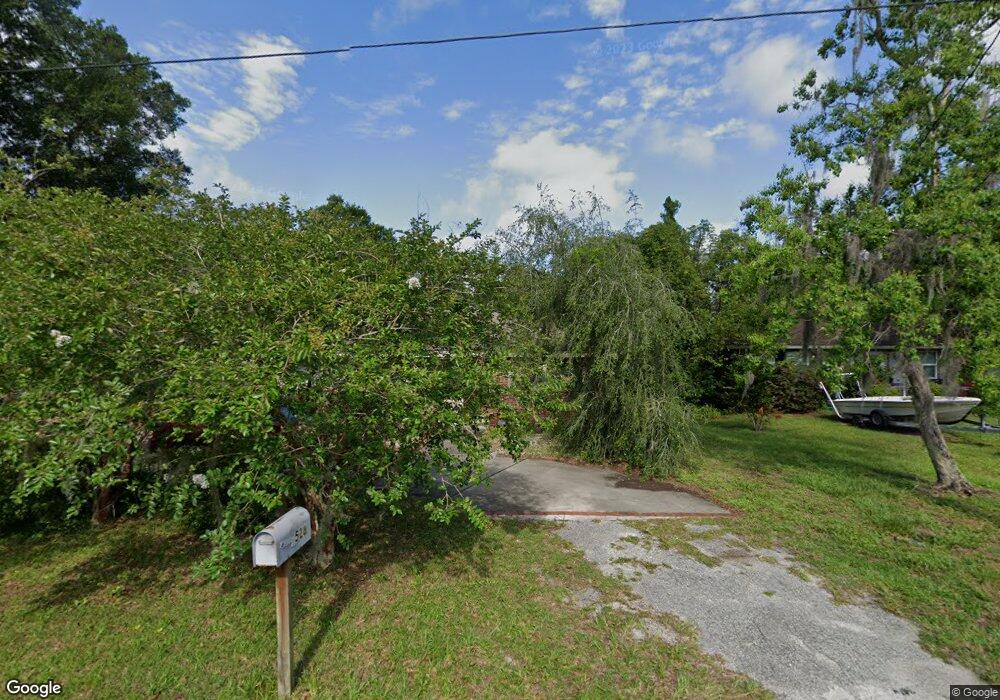
528 N High St Deland, FL 32720
Estimated Value: $306,841 - $354,000
3
Beds
2
Baths
2,022
Sq Ft
$166/Sq Ft
Est. Value
About This Home
This home is located at 528 N High St, Deland, FL 32720 and is currently estimated at $335,710, approximately $166 per square foot. 528 N High St is a home located in Volusia County with nearby schools including Citrus Grove Elementary, Deland High School, and Southwestern Middle School.
Ownership History
Date
Name
Owned For
Owner Type
Purchase Details
Closed on
Jan 20, 1998
Sold by
Bankers Tr Co Ca N A
Bought by
Norman Jay and Norman Dianne J
Current Estimated Value
Purchase Details
Closed on
Nov 15, 1990
Bought by
Norman Jay and Norman Dianne J
Purchase Details
Closed on
Jun 15, 1987
Bought by
Norman Jay and Norman Dianne J
Purchase Details
Closed on
Sep 15, 1985
Bought by
Norman Jay and Norman Dianne J
Create a Home Valuation Report for This Property
The Home Valuation Report is an in-depth analysis detailing your home's value as well as a comparison with similar homes in the area
Home Values in the Area
Average Home Value in this Area
Purchase History
| Date | Buyer | Sale Price | Title Company |
|---|---|---|---|
| Norman Jay | $62,500 | -- | |
| Norman Jay | $60,000 | -- | |
| Norman Jay | $66,000 | -- | |
| Norman Jay | $59,900 | -- |
Source: Public Records
Tax History Compared to Growth
Tax History
| Year | Tax Paid | Tax Assessment Tax Assessment Total Assessment is a certain percentage of the fair market value that is determined by local assessors to be the total taxable value of land and additions on the property. | Land | Improvement |
|---|---|---|---|---|
| 2025 | $400 | $92,912 | -- | -- |
| 2024 | $400 | $90,294 | -- | -- |
| 2023 | $400 | $87,665 | $0 | $0 |
| 2022 | $442 | $85,112 | $0 | $0 |
| 2021 | $433 | $82,633 | $0 | $0 |
| 2020 | $426 | $81,492 | $0 | $0 |
| 2019 | $421 | $79,660 | $0 | $0 |
| 2018 | $418 | $78,175 | $0 | $0 |
| 2017 | $410 | $76,567 | $0 | $0 |
| 2016 | $386 | $74,992 | $0 | $0 |
| 2015 | $401 | $74,471 | $0 | $0 |
| 2014 | $411 | $73,880 | $0 | $0 |
Source: Public Records
Map
Nearby Homes
- 748 W Florence Ave
- 600 N Boundary Ave Unit 119B
- 600 N Boundary Ave Unit 110A
- 600 N Boundary Ave Unit 114-C
- 600 N Boundary Ave Unit 114B
- 600 N Boundary Ave Unit 106-D
- 718 W Hogle Ave
- 600 W Hogle Ave
- 727 N Stone St
- 807 W Church St
- 1126 W Minnesota Ave
- 0 W Plymouth Ave
- Malory Plan at Delaney Reserve
- Abbey Plan at Delaney Reserve
- 236 N Salisbury Ave
- 733 Maple Oak Dr
- 1141 Red Buckeye Ct
- 1145 Red Buckeye Ct
- 694 Florida Elm Ct
- 698 Florida Elm Ct