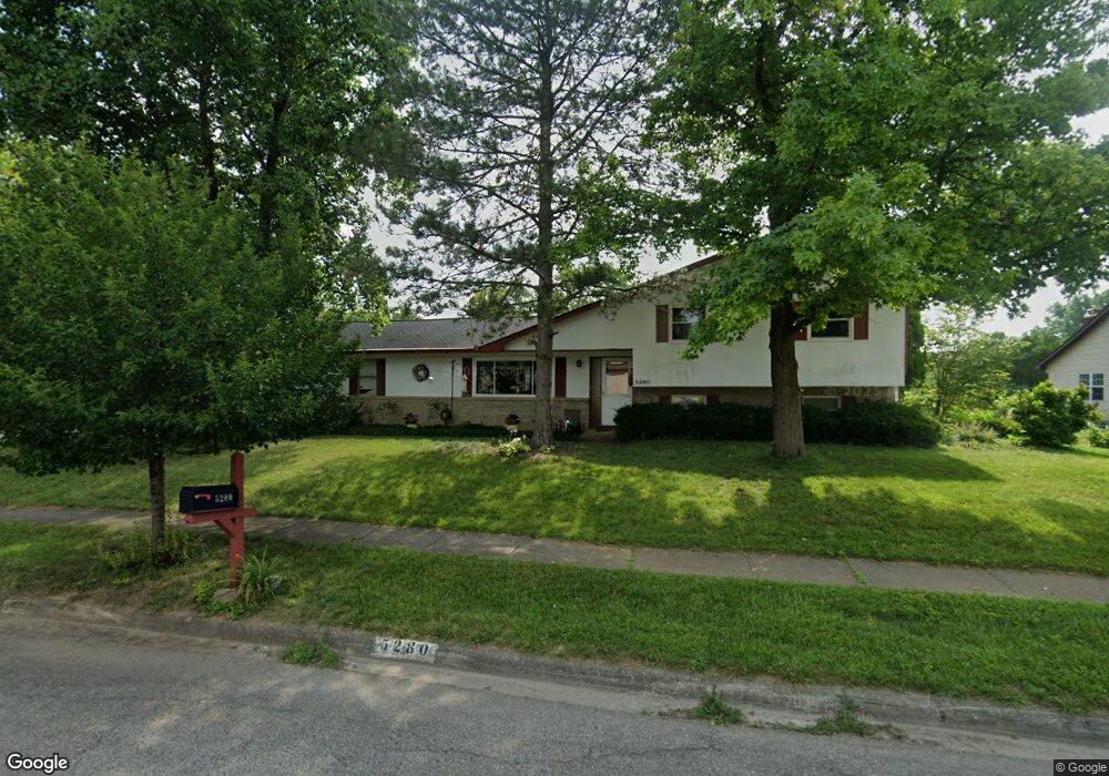
5280 Cape Cod Ln Columbus, OH 43235
The Gables NeighborhoodEstimated Value: $346,188 - $454,000
3
Beds
3
Baths
1,147
Sq Ft
$356/Sq Ft
Est. Value
About This Home
This home is located at 5280 Cape Cod Ln, Columbus, OH 43235 and is currently estimated at $408,547, approximately $356 per square foot. 5280 Cape Cod Ln is a home located in Franklin County with nearby schools including Gables Elementary School, Ridgeview Middle School, and Centennial High School.
Ownership History
Date
Name
Owned For
Owner Type
Purchase Details
Closed on
May 3, 1989
Bought by
Burns Thomas L
Current Estimated Value
Purchase Details
Closed on
Jul 1, 1986
Purchase Details
Closed on
Jun 1, 1979
Create a Home Valuation Report for This Property
The Home Valuation Report is an in-depth analysis detailing your home's value as well as a comparison with similar homes in the area
Home Values in the Area
Average Home Value in this Area
Purchase History
| Date | Buyer | Sale Price | Title Company |
|---|---|---|---|
| Burns Thomas L | $97,800 | -- | |
| -- | $83,000 | -- | |
| -- | $71,000 | -- |
Source: Public Records
Tax History Compared to Growth
Tax History
| Year | Tax Paid | Tax Assessment Tax Assessment Total Assessment is a certain percentage of the fair market value that is determined by local assessors to be the total taxable value of land and additions on the property. | Land | Improvement |
|---|---|---|---|---|
| 2024 | $4,841 | $107,870 | $50,820 | $57,050 |
| 2023 | $4,779 | $107,870 | $50,820 | $57,050 |
| 2022 | $4,383 | $84,500 | $30,140 | $54,360 |
| 2021 | $4,390 | $84,500 | $30,140 | $54,360 |
| 2020 | $4,396 | $84,500 | $30,140 | $54,360 |
| 2019 | $4,066 | $67,030 | $24,120 | $42,910 |
| 2018 | $3,825 | $67,030 | $24,120 | $42,910 |
| 2017 | $4,064 | $67,030 | $24,120 | $42,910 |
| 2016 | $3,958 | $59,750 | $17,570 | $42,180 |
| 2015 | $3,593 | $59,750 | $17,570 | $42,180 |
| 2014 | $3,602 | $59,750 | $17,570 | $42,180 |
| 2013 | $1,692 | $56,910 | $16,730 | $40,180 |
Source: Public Records
Map
Nearby Homes
- 1213 Nantucket Ave
- 1246 Southport Dr
- 1221 Bethel Rd
- 5363 Godown Rd
- 1161 Bethel Rd Unit 103/104
- 1540 Slade Ave Unit 303
- 928 Linworth Village Dr
- 895 Linworth Village Dr
- 1505 Eastmeadow Place
- 5773 Middlefield Dr
- 5111 Schuylkill St
- 1683 Saint Albans Ct Unit 22-83
- 1466 Weybridge Rd
- 5854 Aqua Bay Dr Unit 5854
- 4710 Charecote Ln Unit D
- 5936 Aqua Bay Dr
- 5108 Ranstead Ct
- 5938 Aqua Bay Dr
- 5881 Rocky Rill Rd
- 1739 Paula Dr Unit 1739
- 5266 Cape Cod Ln
- 1237 Nantucket Ave
- 1201 Nantucket Ave
- 1224 Nantucket Ave
- 5261 Heathmoor St
- 1236 Nantucket Ave
- 1216 Nantucket Ave
- 5254 Cape Cod Ln
- 5267 Cape Cod Ln
- 1244 Nantucket Ave
- 1204 Nantucket Ave
- 1251 Nantucket Ave
- 1252 Nantucket Ave
- 5255 Cape Cod Ln
- 5248 Cape Cod Ln
- 5235 Heathmoor St
- 1227 Southport Dr
- 5278 Heathmoor St
- 5266 Heathmoor St
- 1235 Southport Dr