5280 Highway 53 W Jasper, GA 30143
Estimated Value: $333,884 - $523,000
--
Bed
2
Baths
1,780
Sq Ft
$229/Sq Ft
Est. Value
About This Home
This home is located at 5280 Highway 53 W, Jasper, GA 30143 and is currently estimated at $407,721, approximately $229 per square foot. 5280 Highway 53 W is a home located in Pickens County with nearby schools including Hill City Elementary School, Pickens County Middle School, and Pickens County High School.
Ownership History
Date
Name
Owned For
Owner Type
Purchase Details
Closed on
Oct 5, 2017
Sold by
Brock Mary Katherine
Bought by
Brock Mary Katherine and Brock Janis D
Current Estimated Value
Purchase Details
Closed on
Sep 27, 2017
Sold by
Buttrum Kimberly Anne
Bought by
Brock Mary Katherine
Purchase Details
Closed on
Jul 10, 2007
Sold by
Brock Mary Katherine
Bought by
Brock Mary Katherine
Home Financials for this Owner
Home Financials are based on the most recent Mortgage that was taken out on this home.
Original Mortgage
$162,500
Interest Rate
6.71%
Mortgage Type
New Conventional
Purchase Details
Closed on
Jun 22, 2007
Sold by
Not Provided
Bought by
Katherine Brock Mary and Katherine Anne Buttrum
Home Financials for this Owner
Home Financials are based on the most recent Mortgage that was taken out on this home.
Original Mortgage
$162,500
Interest Rate
6.71%
Mortgage Type
New Conventional
Purchase Details
Closed on
Sep 12, 1980
Bought by
Brock Steve and Brock Jan
Create a Home Valuation Report for This Property
The Home Valuation Report is an in-depth analysis detailing your home's value as well as a comparison with similar homes in the area
Home Values in the Area
Average Home Value in this Area
Purchase History
| Date | Buyer | Sale Price | Title Company |
|---|---|---|---|
| Brock Mary Katherine | -- | -- | |
| Brock Mary Katherine | -- | -- | |
| Brock Mary Katherine | -- | -- | |
| Katherine Brock Mary | -- | -- | |
| Brock Steve | -- | -- |
Source: Public Records
Mortgage History
| Date | Status | Borrower | Loan Amount |
|---|---|---|---|
| Previous Owner | Brock Mary Katherine | $162,500 |
Source: Public Records
Tax History Compared to Growth
Tax History
| Year | Tax Paid | Tax Assessment Tax Assessment Total Assessment is a certain percentage of the fair market value that is determined by local assessors to be the total taxable value of land and additions on the property. | Land | Improvement |
|---|---|---|---|---|
| 2024 | $1,751 | $93,464 | $8,965 | $84,499 |
| 2023 | $1,799 | $93,464 | $8,965 | $84,499 |
| 2022 | $1,799 | $93,464 | $8,965 | $84,499 |
| 2021 | $1,326 | $65,850 | $8,965 | $56,885 |
| 2020 | $1,366 | $65,850 | $8,965 | $56,885 |
| 2019 | $1,397 | $65,850 | $8,965 | $56,885 |
| 2018 | $1,410 | $65,850 | $8,965 | $56,885 |
| 2017 | $1,433 | $65,850 | $8,965 | $56,885 |
| 2016 | $1,448 | $65,506 | $8,621 | $56,885 |
| 2015 | $1,414 | $65,506 | $8,621 | $56,885 |
| 2014 | $1,417 | $65,506 | $8,621 | $56,885 |
| 2013 | -- | $65,505 | $8,620 | $56,884 |
Source: Public Records
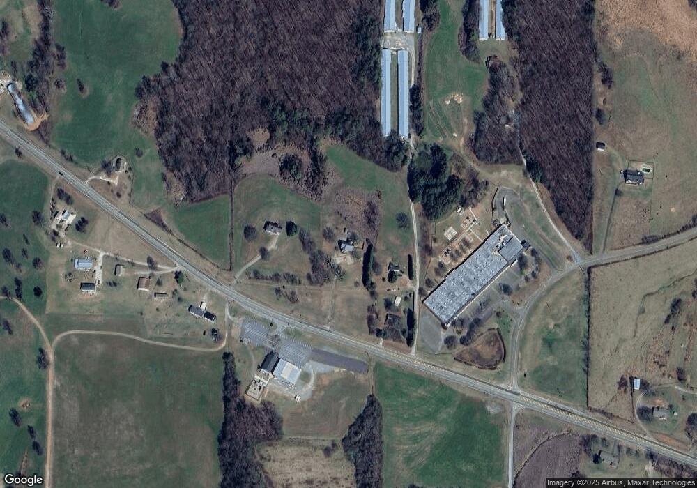
Map
Nearby Homes
- 0 Hill City Rd Unit 7600458
- 0 Hill City Rd Unit 10547283
- 681 Mullinax Rd
- 1045 Pleasant Hill Rd
- 56 Village Creek Dr
- 2 Village Ridge
- 6472 Highway 53
- 828 Rocky Ridge Rd
- 5 Tally Mountain Rd N
- Lot 4-5 Firetower Rd
- 101 Deer Run
- Lot 224 W Vista Ridge Pkwy
- 247 Tatum Rd
- 616 Gibson Trail
- 101 Deer Trail
- 13 Tatum Rd
- 310 Comet Ln
- 164 Mill Creek Dr
- 701 Tatum Rd
- 83 Quiet Water Ct
- 5396 Highway 53 W
- 5232 Highway 53 W
- 5395 Highway 53 W
- 5508 Highway 53 W
- 83 Reggie Ln W
- 536 Hill Cir
- 5465 Highway 53 W
- 5535 Highway 53 W
- 500 Hill Cir
- 5015 Highway 53 W
- 4978 Highway 53 W
- 5613 Highway 53 W
- 00 Highway 53 W
- 000 Highway 53 W
- 0 Highway 53 W
- 0 Highway 53 W Unit 10457768
- 0 Highway 53 W Unit 7523435
- 0 Highway 53 W Unit 326421
- 0 Highway 53 W Unit 209217
- 0 Highway 53 W Unit 7021559