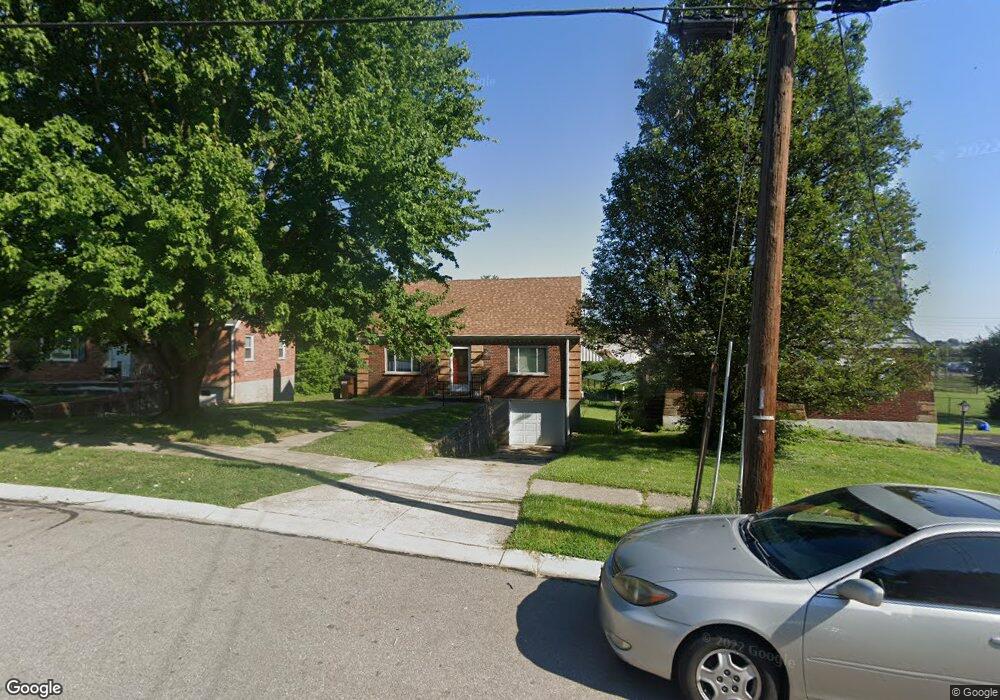
5280 Leona Dr Cincinnati, OH 45238
Estimated Value: $224,000 - $257,092
3
Beds
2
Baths
2,279
Sq Ft
$107/Sq Ft
Est. Value
About This Home
This home is located at 5280 Leona Dr, Cincinnati, OH 45238 and is currently estimated at $244,273, approximately $107 per square foot. 5280 Leona Dr is a home located in Hamilton County with nearby schools including Covedale School, Gilbert A. Dater High School, and Western Hills High School.
Ownership History
Date
Name
Owned For
Owner Type
Purchase Details
Closed on
Oct 12, 2004
Sold by
Trennepohl Gerald D and Trennepohl Phyllis M
Bought by
Manns Shawn A
Current Estimated Value
Home Financials for this Owner
Home Financials are based on the most recent Mortgage that was taken out on this home.
Original Mortgage
$98,000
Outstanding Balance
$47,681
Interest Rate
5.93%
Mortgage Type
Unknown
Estimated Equity
$196,592
Create a Home Valuation Report for This Property
The Home Valuation Report is an in-depth analysis detailing your home's value as well as a comparison with similar homes in the area
Home Values in the Area
Average Home Value in this Area
Purchase History
| Date | Buyer | Sale Price | Title Company |
|---|---|---|---|
| Manns Shawn A | $122,500 | -- |
Source: Public Records
Mortgage History
| Date | Status | Borrower | Loan Amount |
|---|---|---|---|
| Open | Manns Shawn A | $98,000 |
Source: Public Records
Tax History
| Year | Tax Paid | Tax Assessment Tax Assessment Total Assessment is a certain percentage of the fair market value that is determined by local assessors to be the total taxable value of land and additions on the property. | Land | Improvement |
|---|---|---|---|---|
| 2025 | $4,471 | $71,656 | $13,269 | $58,387 |
| 2024 | $4,459 | $71,656 | $13,269 | $58,387 |
| 2023 | $4,466 | $71,656 | $13,269 | $58,387 |
| 2022 | $3,102 | $41,601 | $10,605 | $30,996 |
| 2021 | $2,877 | $41,601 | $10,605 | $30,996 |
| 2020 | $2,767 | $41,601 | $10,605 | $30,996 |
| 2019 | $2,745 | $37,143 | $9,468 | $27,675 |
| 2018 | $2,751 | $37,143 | $9,468 | $27,675 |
| 2017 | $2,628 | $37,143 | $9,468 | $27,675 |
| 2016 | $2,578 | $35,757 | $9,741 | $26,016 |
| 2015 | $2,324 | $35,757 | $9,741 | $26,016 |
| 2014 | $2,340 | $35,757 | $9,741 | $26,016 |
| 2013 | $2,291 | $36,117 | $9,839 | $26,278 |
Source: Public Records
Map
Nearby Homes
- 5301 Leon Ct
- 1650 Colonial Dr
- 2195 Woodmere Ct
- 5461 Bellfield Ln
- 5524 Sidney Rd
- 5132 Ralph Ave
- 3141 W Tower Ave
- 3124 Veazey Ave
- 5487 Belcross Ct
- 5183 Cleves Warsaw Pike
- 5020 Sidney Rd
- 5114 Cleves Warsaw Pike
- 5433 Cleves Warsaw Pike
- 5140 Willnet Dr
- 3061 Veazey Ave
- 5311 Rawhide Ct
- 4915 Heuwerth Ave
- 3004 Glenmore Ave
- 5152 Highview Dr
- 2925 Boudinot Ave
- 5276 Leona Dr
- 5284 Leona Dr
- 5272 Leona Dr
- 5288 Leona Dr
- 5268 Leona Dr
- 1996 Anderson Ferry Rd
- 5292 Leona Dr
- 5277 Leona Dr
- 5264 Leona Dr
- 2020 Anderson Ferry Rd
- 5296 Leona Dr
- 5273 Leona Dr
- 1966 Anderson Ferry Rd
- 2040 Anderson Ferry Rd
- 5269 Leona Dr
- 5281 Leona Dr
- 5260 Leona Dr
- 5298 Leona Dr
- 5265 Leona Dr
- 5285 Crookshank Rd
Your Personal Tour Guide
Ask me questions while you tour the home.