Estimated Value: $373,000 - $580,081
1
Bed
2
Baths
1,512
Sq Ft
$304/Sq Ft
Est. Value
About This Home
This home is located at 5280 N Bluff Center Rd, Cairo, NE 68824 and is currently estimated at $459,027, approximately $303 per square foot. 5280 N Bluff Center Rd is a home located in Hall County with nearby schools including Centura Elementary School and Centura Secondary School.
Ownership History
Date
Name
Owned For
Owner Type
Purchase Details
Closed on
Feb 22, 2013
Sold by
Stange Kevin and Stange Cheryl
Bought by
Stange Kevin L and Stange Cheryl
Current Estimated Value
Home Financials for this Owner
Home Financials are based on the most recent Mortgage that was taken out on this home.
Original Mortgage
$147,537
Outstanding Balance
$26,369
Interest Rate
2.87%
Mortgage Type
FHA
Estimated Equity
$432,658
Purchase Details
Closed on
Jan 24, 2002
Sold by
Kissler Sherry Ann
Bought by
Stange Kevin and Stange Cheryl
Create a Home Valuation Report for This Property
The Home Valuation Report is an in-depth analysis detailing your home's value as well as a comparison with similar homes in the area
Purchase History
| Date | Buyer | Sale Price | Title Company |
|---|---|---|---|
| Stange Kevin L | -- | Advantage Title Services | |
| Stange Kevin | $8,748 | -- |
Source: Public Records
Mortgage History
| Date | Status | Borrower | Loan Amount |
|---|---|---|---|
| Open | Stange Kevin L | $147,537 |
Source: Public Records
Tax History
| Year | Tax Paid | Tax Assessment Tax Assessment Total Assessment is a certain percentage of the fair market value that is determined by local assessors to be the total taxable value of land and additions on the property. | Land | Improvement |
|---|---|---|---|---|
| 2025 | $4,841 | $438,146 | $70,255 | $367,891 |
| 2024 | $4,841 | $438,146 | $70,255 | $367,891 |
| 2023 | $4,014 | $293,735 | $70,255 | $223,480 |
| 2022 | $3,872 | $263,173 | $39,693 | $223,480 |
| 2021 | $3,994 | $266,598 | $43,118 | $223,480 |
| 2020 | $4,029 | $266,598 | $43,118 | $223,480 |
| 2019 | $3,964 | $266,598 | $43,118 | $223,480 |
| 2017 | $3,928 | $266,140 | $42,660 | $223,480 |
| 2016 | $3,949 | $266,140 | $42,660 | $223,480 |
| 2015 | $4,048 | $262,779 | $35,837 | $226,942 |
| 2014 | $3,621 | $224,383 | $35,265 | $189,118 |
Source: Public Records
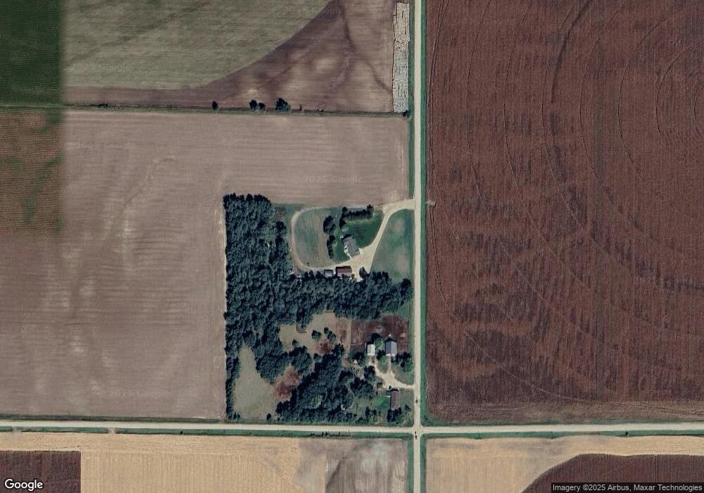
Map
Nearby Homes
- 5740 N Bluff Center Rd
- 110 Harder Cir
- 106 Harder Cir
- 102 Harder Cir
- 115 Harder Cir
- 105 Harder Cir
- 111 Harder
- 5821 N Sahara Dr
- 5841 N Sahara Dr
- 5961 Luxor Dr N
- 8788 N 140th Rd
- 365 Highway 11
- 121 Elm St E
- 320 Sicily Ave
- 1508 Marshall St
- 205 Alba Ave
- 1004 Grand Ave
- 717 Verona Ave
- 1023 Verona Ave
- 310 W 11th St Unit WR