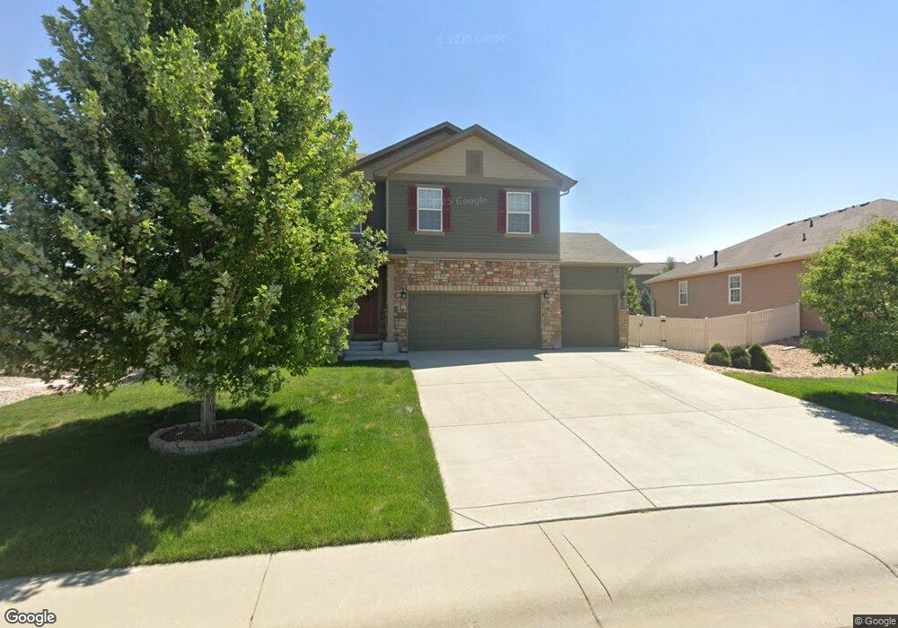
5280 Neighbors Pkwy Firestone, CO 80504
Estimated Value: $579,000 - $666,000
4
Beds
3
Baths
2,532
Sq Ft
$244/Sq Ft
Est. Value
About This Home
This home is located at 5280 Neighbors Pkwy, Firestone, CO 80504 and is currently estimated at $618,187, approximately $244 per square foot. 5280 Neighbors Pkwy is a home with nearby schools including Centennial Elementary School, Coal Ridge Middle School, and Mead High School.
Ownership History
Date
Name
Owned For
Owner Type
Purchase Details
Closed on
Mar 17, 2017
Sold by
Melody Homes Inc
Bought by
Savage Justin C and Savage Claudlia
Current Estimated Value
Home Financials for this Owner
Home Financials are based on the most recent Mortgage that was taken out on this home.
Original Mortgage
$310,884
Outstanding Balance
$257,945
Interest Rate
4.19%
Mortgage Type
New Conventional
Estimated Equity
$360,242
Create a Home Valuation Report for This Property
The Home Valuation Report is an in-depth analysis detailing your home's value as well as a comparison with similar homes in the area
Home Values in the Area
Average Home Value in this Area
Purchase History
| Date | Buyer | Sale Price | Title Company |
|---|---|---|---|
| Savage Justin C | $388,605 | Heritage Title Co |
Source: Public Records
Mortgage History
| Date | Status | Borrower | Loan Amount |
|---|---|---|---|
| Open | Savage Justin C | $310,884 |
Source: Public Records
Tax History Compared to Growth
Tax History
| Year | Tax Paid | Tax Assessment Tax Assessment Total Assessment is a certain percentage of the fair market value that is determined by local assessors to be the total taxable value of land and additions on the property. | Land | Improvement |
|---|---|---|---|---|
| 2025 | $5,868 | $35,930 | $7,380 | $28,550 |
| 2024 | $5,868 | $35,930 | $7,380 | $28,550 |
| 2023 | $5,717 | $39,450 | $7,980 | $31,470 |
| 2022 | $4,732 | $29,200 | $5,980 | $23,220 |
| 2021 | $4,762 | $30,040 | $6,150 | $23,890 |
| 2020 | $4,600 | $29,170 | $4,650 | $24,520 |
| 2019 | $4,643 | $29,170 | $4,650 | $24,520 |
| 2018 | $4,091 | $26,390 | $3,740 | $22,650 |
| 2017 | $2,277 | $14,480 | $3,740 | $10,740 |
| 2016 | $419 | $2,730 | $2,730 | $0 |
| 2015 | $379 | $2,520 | $2,520 | $0 |
| 2014 | $141 | $940 | $940 | $0 |
Source: Public Records
Map
Nearby Homes
- 5286 Rustic Ave
- 5230 Warrior St
- 5583 Riverbend Ave
- 5614 Riverbend Ave
- 4768 Silverleaf Ave
- 10540 Barron Cir
- 5822 Shenandoah Ave
- 5046 Rangeview Ave
- 5845 Scenic Ave
- 10414 Cherryvale St
- 10574 Bald Eagle Cir
- 5870 Scenic Ave
- 5474 Wetlands Dr
- 10597 Bald Eagle Cir Unit 244
- 5467 Teton Dr
- 10686 Baily St Unit 153
- 10529 Bald Eagle Cir Unit 394
- 10529 Bald Eagle Cir
- 10497 Booth Dr
- 4795 Audrey St Unit 260
- 5264 Neighbors Pkwy
- 5286 Neighbors Pkwy
- 5250 Neighbors Pkwy
- 10141 Carefree St
- 5279 Sandy Ridge Ave
- 5309 Sandy Ridge Ave
- 5291 Sandy Ridge Ave
- 5261 Sandy Ridge Ave
- 5240 Neighbors Pkwy
- 10121 Carefree St
- 10133 Carefree St
- 5241 Sandy Ridge Ave
- 10113 Carefree St
- 5320 Neighbors Pkwy
- 10052 Buttesfield St
- 10133 Neighbors Pkwy
- 5300 Sandy Ridge Ave
- 10051 Buttesfield St
- 5308 Sandy Ridge Ave
- 5328 Neighbors Pkwy