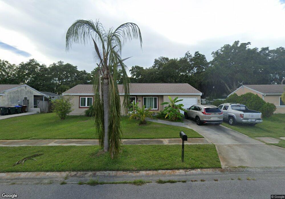
5285 Simrak St North Port, FL 34287
Estimated Value: $240,000 - $293,973
3
Beds
2
Baths
1,735
Sq Ft
$153/Sq Ft
Est. Value
About This Home
This home is located at 5285 Simrak St, North Port, FL 34287 and is currently estimated at $265,993, approximately $153 per square foot. 5285 Simrak St is a home located in Sarasota County with nearby schools including North Port High School, Cranberry Elementary School, and Heron Creek Middle School.
Ownership History
Date
Name
Owned For
Owner Type
Purchase Details
Closed on
Oct 19, 2007
Sold by
Zahorsky Robert J and Zahorsky Ellen Mae
Bought by
Glasgow Robert and Glasgow Christine
Current Estimated Value
Home Financials for this Owner
Home Financials are based on the most recent Mortgage that was taken out on this home.
Original Mortgage
$116,910
Outstanding Balance
$73,863
Interest Rate
6.44%
Mortgage Type
Purchase Money Mortgage
Estimated Equity
$192,130
Purchase Details
Closed on
Jun 24, 1996
Sold by
Zahorsky Robert J and Zahorsky Ellen Mae
Bought by
Zahorsky Robert J and Zahorsky Ellen Mae
Create a Home Valuation Report for This Property
The Home Valuation Report is an in-depth analysis detailing your home's value as well as a comparison with similar homes in the area
Home Values in the Area
Average Home Value in this Area
Purchase History
| Date | Buyer | Sale Price | Title Company |
|---|---|---|---|
| Glasgow Robert | $129,900 | Executive Title Ins Svcs Inc | |
| Zahorsky Robert J | -- | -- |
Source: Public Records
Mortgage History
| Date | Status | Borrower | Loan Amount |
|---|---|---|---|
| Open | Glasgow Robert | $116,910 |
Source: Public Records
Tax History Compared to Growth
Tax History
| Year | Tax Paid | Tax Assessment Tax Assessment Total Assessment is a certain percentage of the fair market value that is determined by local assessors to be the total taxable value of land and additions on the property. | Land | Improvement |
|---|---|---|---|---|
| 2024 | $2,525 | $111,555 | -- | -- |
| 2023 | $2,525 | $58,206 | $0 | $0 |
| 2022 | $3,084 | $106,611 | $0 | $0 |
| 2021 | $2,632 | $80,011 | $0 | $0 |
| 2020 | $1,315 | $78,906 | $0 | $0 |
| 2019 | $1,192 | $69,898 | $0 | $0 |
| 2018 | $1,098 | $68,595 | $0 | $0 |
| 2017 | $1,075 | $67,184 | $0 | $0 |
| 2016 | $1,074 | $109,400 | $7,500 | $101,900 |
| 2015 | $1,089 | $95,200 | $5,100 | $90,100 |
| 2014 | $1,063 | $63,868 | $0 | $0 |
Source: Public Records
Map
Nearby Homes
- 5302 Trekell St
- 4359 Pocatella Ave
- 4413 Mckibben Dr
- 4282 Pocatella Ave
- 5052 Trekell St
- 4951 Pocatella Ave
- 4424 Baroda Ave
- 4806 Calah St
- 4358 Mongite Rd
- 4421 Mongite Rd
- 4599 Mongite Rd
- 4067 Bula Ln
- 4373 Blueridge St
- 4027 Allure Ln
- 5028 Greenway Ct
- 4655 Payne St
- 4060 Barbary Ln
- 5051 Greenway Dr
- 0 Kismet Terrace
- 5061 Richmond Terrace
- 5309 Simrak St
- 5261 Simrak St
- 5346 Malamin Rd
- 4384 Hokan Ave
- 5237 Simrak St
- 5330 Malamin Rd
- 5360 Malamin Rd
- 4501 Hartsook Ave
- 4389 Hartsook Ave
- 5330 Simrak St
- 5357 Simrak St
- 5376 Malamin Rd
- 4533 Hartsook Ave
- 4338 Hokan Ave
- 4357 Hartsook Ave
- 5316 Malamin Rd
- 5360 Simrak St
- 5329 Malamin Rd
- 5390 Malamin Rd
- 4565 Hartsook Ave