5287 Dennison Rd Dundee, MI 48131
Estimated Value: $256,000 - $407,000
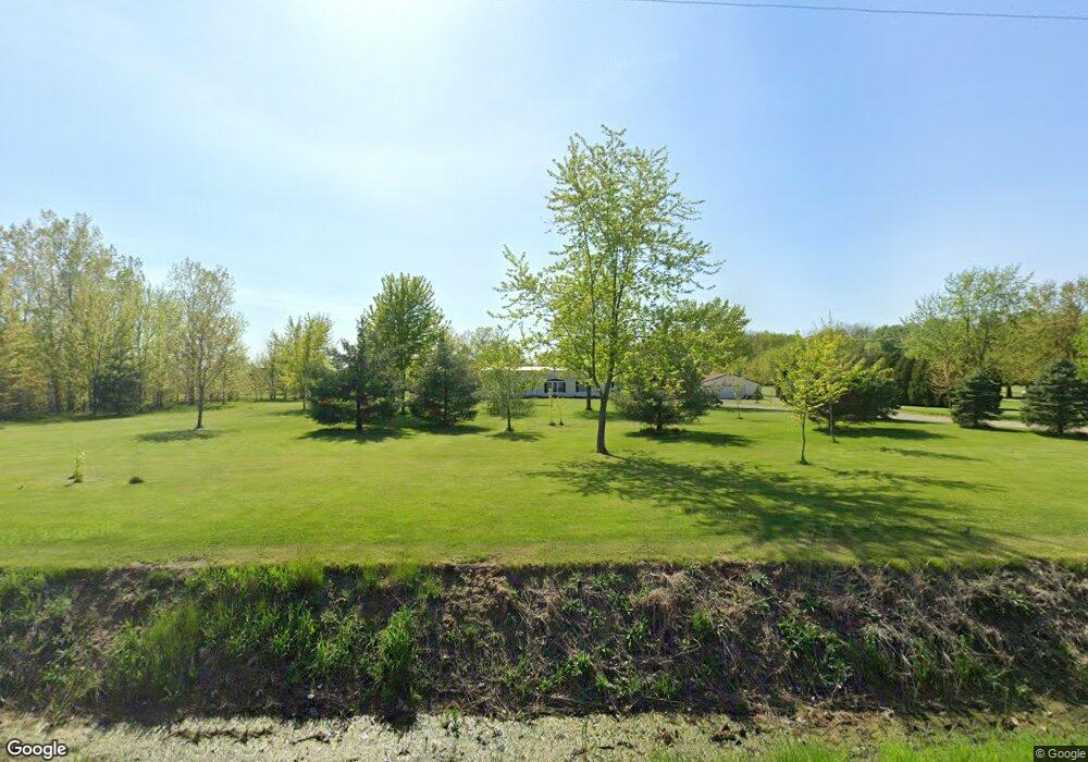
About This Home
This home is located at 5287 Dennison Rd, Dundee, MI 48131 and is currently estimated at $315,223. 5287 Dennison Rd is a home located in Monroe County with nearby schools including Britton-Macon Area School.
Ownership History
We collect this data history from publicly available records. To have your information removed, we recommend requesting removal directly through your county’s website.
Purchase Details
Home Financials for this Owner
Home Financials are based on the most recent Mortgage that was taken out on this home.Purchase Details
Home Financials for this Owner
Home Financials are based on the most recent Mortgage that was taken out on this home.Home Values in the Area
Average Home Value in this Area
Purchase History
We collect this data history from publicly available records. To have your information removed, we recommend requesting removal directly through your county’s website.
| Date | Buyer | Sale Price | Title Company |
|---|---|---|---|
| -- | First American Title | ||
| -- | Hassett Title |
Mortgage History
We collect this data history from publicly available records. To have your information removed, we recommend requesting removal directly through your county’s website.
| Date | Status | Borrower | Loan Amount |
|---|---|---|---|
| Open | $170,300 | ||
| Previous Owner | $95,000 |
Tax History
We collect this data history from publicly available records. To have your information removed, we recommend requesting removal directly through your county’s website.
| Year | Tax Paid | Tax Assessment Tax Assessment Total Assessment is a certain percentage of the fair market value that is determined by local assessors to be the total taxable value of land and additions on the property. | Land | Improvement |
|---|---|---|---|---|
| 2025 | $1,036 | $153,700 | $153,700 | $0 |
| 2024 | $1,005 | $148,750 | $0 | $0 |
| 2023 | $2,584 | $116,690 | $0 | $0 |
| 2022 | $912 | $116,690 | $0 | $0 |
| 2021 | $2,491 | $122,940 | $0 | $0 |
| 2020 | $2,478 | $102,080 | $0 | $0 |
| 2019 | $854 | $102,080 | $0 | $0 |
| 2018 | $2,441 | $89,610 | $0 | $0 |
| 2017 | $2,403 | $89,610 | $0 | $0 |
| 2016 | $2,180 | $88,610 | $0 | $0 |
| 2015 | $1,795 | $61,020 | $0 | $0 |
| 2014 | $1,808 | $61,020 | $0 | $0 |
| 2013 | $1,769 | $58,230 | $0 | $0 |
Map
- 0000 Wilcox Rd
- 16488 Tecumseh St
- 16484 Tecumseh St
- 0 Tecumseh St
- 454 Tecumseh St
- 217 Potterstone Dr
- 453 Corinth
- 860 Plank St
- 0 Washington St Unit 20261021371
- 150 Waterstradt Commerce Dr
- 691 Foxworth St
- 264 Ypsilanti St
- 5049 Wilshire Dr Unit 70
- 5041 Wilshire Dr Unit 69
- 5033 Wilshire Dr Unit 68
- 5097 Westminster Dr
- 371 Washington St
- 244 Cass St
- 11024 Dennison Rd
- 1353 W Lloyd Rd
- 5369 Dennison Rd
- 5282 Dennison Rd
- 5282 Dennison Rd
- 5282 Dennison Rd
- 0 Dennison Unit 29056781
- 0 Dennison Unit 4169021
- 0 Dennison Unit 4050083
- 0 Dennison Unit 4169627
- 0 Dennison Unit 911513
- 0 Dennison Unit G50003506
- 0 Dennison Unit G50049296
- 0 Dennison
- 0 Dennison Unit 911480
- 0 Dennison Unit 953003
- 5390 Dennison Rd
- 5270 Dennison Rd
- 18981 Kent Rd
- 5250 Dennison Rd
- 19166 Tecumseh Rd
- 5415 Dennison Rd
Ask me questions while you tour the home.