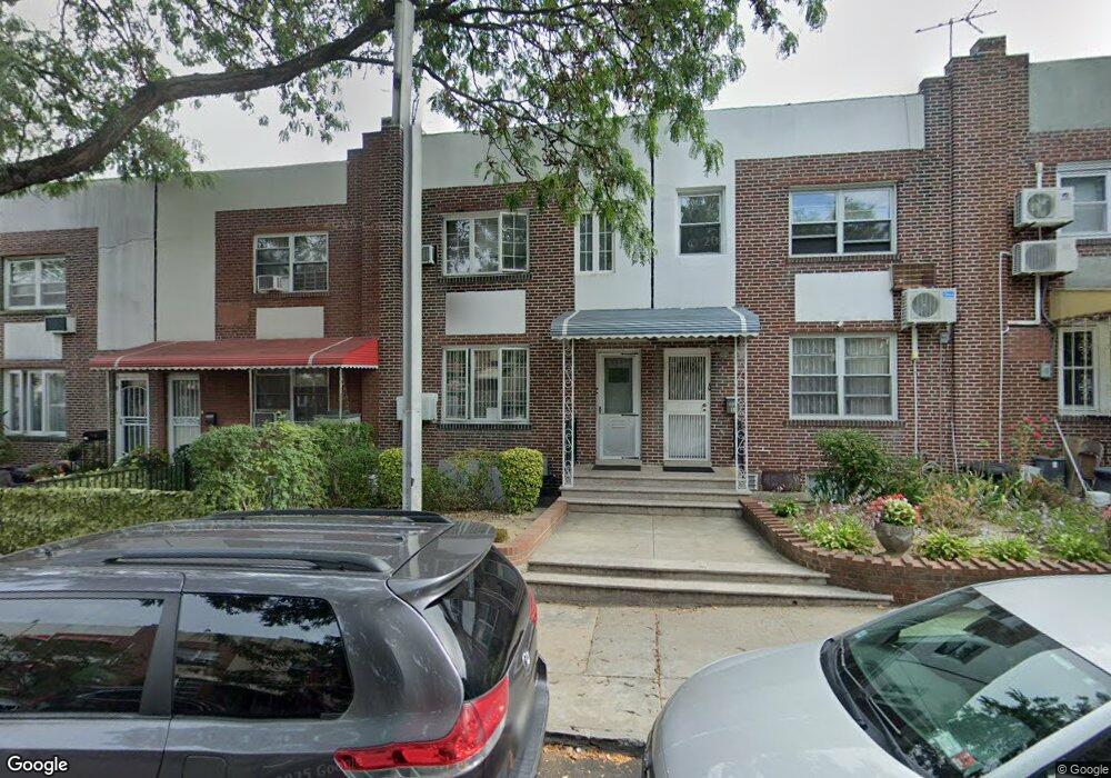
5289 79th St Elmhurst, NY 11373
Maspeth NeighborhoodEstimated Value: $795,745 - $942,000
--
Bed
--
Bath
1,152
Sq Ft
$741/Sq Ft
Est. Value
About This Home
This home is located at 5289 79th St, Elmhurst, NY 11373 and is currently estimated at $853,936, approximately $741 per square foot. 5289 79th St is a home located in Queens County with nearby schools including Ps 58 School Of Heroes, IS 73 - The Frank Sansivieri School, and Newtown High School.
Ownership History
Date
Name
Owned For
Owner Type
Purchase Details
Closed on
Oct 18, 2024
Sold by
Lam Choi Ying and Yeung Po Lam
Bought by
Choi Ying Lam Trustee and Lam Family Trust
Current Estimated Value
Purchase Details
Closed on
Mar 31, 2000
Sold by
Rocklein William G
Bought by
Yeung Po Lam and Lam Choi Ying
Home Financials for this Owner
Home Financials are based on the most recent Mortgage that was taken out on this home.
Original Mortgage
$159,000
Interest Rate
8.26%
Create a Home Valuation Report for This Property
The Home Valuation Report is an in-depth analysis detailing your home's value as well as a comparison with similar homes in the area
Home Values in the Area
Average Home Value in this Area
Purchase History
| Date | Buyer | Sale Price | Title Company |
|---|---|---|---|
| Choi Ying Lam Trustee | -- | -- | |
| Yeung Po Lam | $224,500 | Fidelity National Title Ins | |
| Yeung Po Lam | $224,500 | Fidelity National Title Ins |
Source: Public Records
Mortgage History
| Date | Status | Borrower | Loan Amount |
|---|---|---|---|
| Previous Owner | Yeung Po Lam | $159,000 |
Source: Public Records
Tax History Compared to Growth
Tax History
| Year | Tax Paid | Tax Assessment Tax Assessment Total Assessment is a certain percentage of the fair market value that is determined by local assessors to be the total taxable value of land and additions on the property. | Land | Improvement |
|---|---|---|---|---|
| 2025 | $2,864 | $38,263 | $12,460 | $25,803 |
| 2024 | $2,968 | $36,116 | $11,884 | $24,232 |
| 2023 | $2,864 | $36,116 | $11,217 | $24,899 |
| 2022 | $2,751 | $52,500 | $16,920 | $35,580 |
| 2021 | $2,779 | $52,020 | $16,920 | $35,100 |
| 2020 | $2,716 | $44,760 | $16,920 | $27,840 |
| 2019 | $2,489 | $38,460 | $16,920 | $21,540 |
| 2018 | $2,409 | $30,097 | $14,240 | $15,857 |
| 2017 | $2,275 | $28,663 | $11,975 | $16,688 |
| 2016 | $2,101 | $28,663 | $11,975 | $16,688 |
| 2015 | $1,192 | $26,572 | $12,563 | $14,009 |
| 2014 | $1,192 | $25,081 | $14,222 | $10,859 |
Source: Public Records
Map
Nearby Homes
- 79-10 Grand Ave
- 5323 82nd St
- 79-46 Calamus Ave
- 79-19 Calamus Ave
- 74-49 Calamus Cir Unit 3rd FL
- 74-47 Calamus Ave Unit 48
- 52-57 84th St
- 79-15 Kneeland Ave
- 74-29 Calamus Ave Unit 20
- 84-38 Grand Ave
- 5434 83rd St
- 7332 53rd Rd
- 53-16 Haspel St
- 5203 72nd Place
- 5736 75th St
- 55-08 Haspel St
- 5745 74th St Unit 106
- 5745 74th St Unit 306
- 5359 72nd Place
- 52-79 72nd St