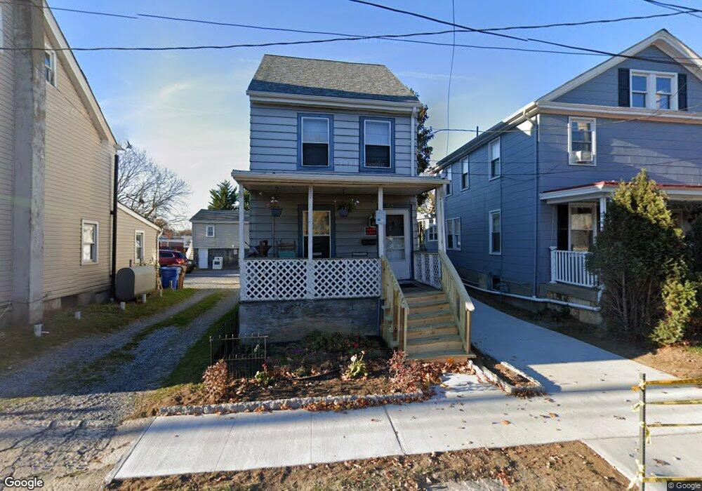
529 Auburn Ave Unit M04 Swedesboro, NJ 08085
Estimated Value: $173,183 - $286,000
--
Bed
--
Bath
1,050
Sq Ft
$200/Sq Ft
Est. Value
About This Home
This home is located at 529 Auburn Ave Unit M04, Swedesboro, NJ 08085 and is currently estimated at $209,546, approximately $199 per square foot. 529 Auburn Ave Unit M04 is a home located in Gloucester County with nearby schools including Margaret C Clifford School, Gov. Charles C. Stratton School, and Gen. Charles G. Harker School.
Ownership History
Date
Name
Owned For
Owner Type
Purchase Details
Closed on
Feb 12, 1998
Sold by
Pandorf Barbara M
Bought by
Norton Robert E and Miller Antoinette
Current Estimated Value
Home Financials for this Owner
Home Financials are based on the most recent Mortgage that was taken out on this home.
Original Mortgage
$50,000
Interest Rate
7.5%
Purchase Details
Closed on
Nov 5, 1996
Sold by
Pandorf Anthony F and Holloway Esquire Thomas
Bought by
Pandorf Barbara M
Create a Home Valuation Report for This Property
The Home Valuation Report is an in-depth analysis detailing your home's value as well as a comparison with similar homes in the area
Home Values in the Area
Average Home Value in this Area
Purchase History
| Date | Buyer | Sale Price | Title Company |
|---|---|---|---|
| Norton Robert E | $50,000 | -- | |
| Pandorf Barbara M | -- | -- |
Source: Public Records
Mortgage History
| Date | Status | Borrower | Loan Amount |
|---|---|---|---|
| Closed | Norton Robert E | $50,000 |
Source: Public Records
Tax History Compared to Growth
Tax History
| Year | Tax Paid | Tax Assessment Tax Assessment Total Assessment is a certain percentage of the fair market value that is determined by local assessors to be the total taxable value of land and additions on the property. | Land | Improvement |
|---|---|---|---|---|
| 2025 | $4,056 | $95,400 | $29,500 | $65,900 |
| 2024 | $4,021 | $95,400 | $29,500 | $65,900 |
| 2023 | $4,021 | $95,400 | $29,500 | $65,900 |
| 2022 | $4,013 | $95,400 | $29,500 | $65,900 |
| 2021 | $4,015 | $95,400 | $29,500 | $65,900 |
| 2020 | $3,873 | $95,400 | $29,500 | $65,900 |
| 2019 | $3,805 | $95,400 | $29,500 | $65,900 |
| 2018 | $3,842 | $95,400 | $29,500 | $65,900 |
| 2017 | $3,821 | $95,400 | $29,500 | $65,900 |
| 2016 | $3,817 | $95,400 | $29,500 | $65,900 |
| 2015 | $3,707 | $95,400 | $29,500 | $65,900 |
| 2014 | $3,552 | $96,900 | $30,800 | $66,100 |
Source: Public Records
Map
Nearby Homes
- 1602 Kings Hwy
- 400 2nd St
- 119 Railroad Ave
- 1720-22 Kings Hwy
- 1030 Auburn Rd
- 1932 Kings Hwy
- 1508 Lexington Mews
- 26 Garwin Rd
- 218 Dominics Ct
- 503 Sammy St
- 112 Jules Dr
- 613 Sammy St
- 213 Dalton Dr
- 23 Regals Ct
- 48 Garwin Rd
- 137 Davidson Rd
- 104 Waterford Way
- 233 Franklinville Rd
- 5 Wesley Dr
- 2153 Route 322
- 525 Auburn Ave Unit 27
- 531 Auburn Ave Unit 33
- 531 533 Auburn Ave
- 4 Richardson Ave
- 6-8 Richardson Ave
- 6 Richardson Ave
- 68 Richardson Ave
- 7 Richardson Ave
- 527 Auburn Ave
- 521 Auburn Ave
- 1525 Kings Hwy
- 1527 Kings Hwy
- 1529 Kings Hwy
- 17 Richardson Ave
- 550 Auburn Ave
- 517 Auburn Ave
- 15 Richardson Ave
- 15-17 Richardson Ave
- 1531 Kings Hwy
- 1505 Kings Hwy