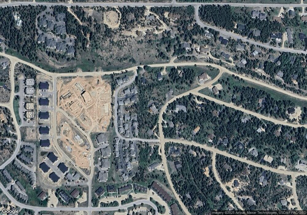
529 Balsh Blvd Fraser, CO 80442
Estimated Value: $1,795,694 - $2,451,000
5
Beds
5
Baths
3,812
Sq Ft
$540/Sq Ft
Est. Value
About This Home
This home is located at 529 Balsh Blvd, Fraser, CO 80442 and is currently estimated at $2,056,674, approximately $539 per square foot. 529 Balsh Blvd is a home located in Grand County with nearby schools including Middle Park High School.
Ownership History
Date
Name
Owned For
Owner Type
Purchase Details
Closed on
May 27, 2011
Sold by
Mcnamara Michael
Bought by
Pallotti Russell M and Pallotti Lisa H
Current Estimated Value
Home Financials for this Owner
Home Financials are based on the most recent Mortgage that was taken out on this home.
Original Mortgage
$400,000
Outstanding Balance
$27,064
Interest Rate
4.52%
Mortgage Type
New Conventional
Estimated Equity
$2,029,610
Purchase Details
Closed on
Jun 16, 2006
Sold by
Jamatra Llc
Bought by
Mcnamara Michael J
Purchase Details
Closed on
Jun 8, 2006
Sold by
Webster Edward L
Bought by
Jamatra Llc
Purchase Details
Closed on
Jun 24, 2005
Sold by
Johnson Eric J and Meara Michelle J O
Bought by
Webster Edward L
Home Financials for this Owner
Home Financials are based on the most recent Mortgage that was taken out on this home.
Original Mortgage
$120,000
Interest Rate
5.87%
Mortgage Type
Adjustable Rate Mortgage/ARM
Create a Home Valuation Report for This Property
The Home Valuation Report is an in-depth analysis detailing your home's value as well as a comparison with similar homes in the area
Home Values in the Area
Average Home Value in this Area
Purchase History
| Date | Buyer | Sale Price | Title Company |
|---|---|---|---|
| Pallotti Russell M | $500,000 | Unified Title Company | |
| Mcnamara Michael J | $800,000 | Title Company Of The Rockies | |
| Jamatra Llc | -- | None Available | |
| Webster Edward L | $150,000 | None Available |
Source: Public Records
Mortgage History
| Date | Status | Borrower | Loan Amount |
|---|---|---|---|
| Open | Pallotti Russell M | $400,000 | |
| Previous Owner | Webster Edward L | $120,000 |
Source: Public Records
Tax History Compared to Growth
Tax History
| Year | Tax Paid | Tax Assessment Tax Assessment Total Assessment is a certain percentage of the fair market value that is determined by local assessors to be the total taxable value of land and additions on the property. | Land | Improvement |
|---|---|---|---|---|
| 2024 | $6,458 | $103,510 | $21,670 | $81,840 |
| 2023 | $6,458 | $103,510 | $21,670 | $81,840 |
| 2022 | $4,399 | $65,740 | $8,690 | $57,050 |
| 2021 | $4,432 | $67,630 | $8,940 | $58,690 |
| 2020 | $3,347 | $55,560 | $7,150 | $48,410 |
| 2019 | $3,269 | $55,560 | $7,150 | $48,410 |
| 2018 | $2,802 | $45,690 | $6,660 | $39,030 |
| 2017 | $3,079 | $45,690 | $6,660 | $39,030 |
| 2016 | $2,696 | $43,260 | $7,360 | $35,900 |
| 2015 | $2,731 | $43,260 | $7,360 | $35,900 |
| 2014 | $2,731 | $43,990 | $0 | $43,990 |
Source: Public Records
Map
Nearby Homes
- 946 Mulligan St
- 100 8331
- 100 Gcr 8331
- 200 Gcr 8332 Aka Quill Ct
- 461 Balsh Blvd
- 445 Trappers Way
- 420 Cougar Ave Unit 1
- 753 County Road 830 Unit 1
- 437 Gcr 832 #29-8
- 53 Gcr 833 Columbine Dr
- 53 833 Columbine Dr
- 140 Sterling Loop Unit 202
- 421 W Meadow Mile (Gcr 840) Unit 4
- 361 W Meadow Mile (Gcr 840) Unit 2
- 224 Gcr 838
- 236 Gcr 838 Unit 14-2
- 421 W Meadow Mile Unit 4
- 224 County Road 838 Unit 2
- 76 E Meadow Mile Unit 2
- 76 E Meadow Mile Unit 22-2
- 0 Columbine Dr
- 461 Cr 837 Balsh Blvd
- 460 County Road 837 Balsh Ave
- 613 Balsh Blvd
- 730 Balsh Blvd
- 329 Columbine Ct
- 614 Balsh Blvd
- 193 County Road 193
- 614 Cougar Ave
- 614 County Rd 837
- 614 Cr 837
- 329 Columbine Dr
- 75 Balsh Blvd
- 365 County Road 833
- 837 Balsh Blvd
- 402 Columbine Dr
- 1120 Mulligan St
- 295 Columbine Dr
- 79 Little Piere Ave
- 401 Columbine Dr
