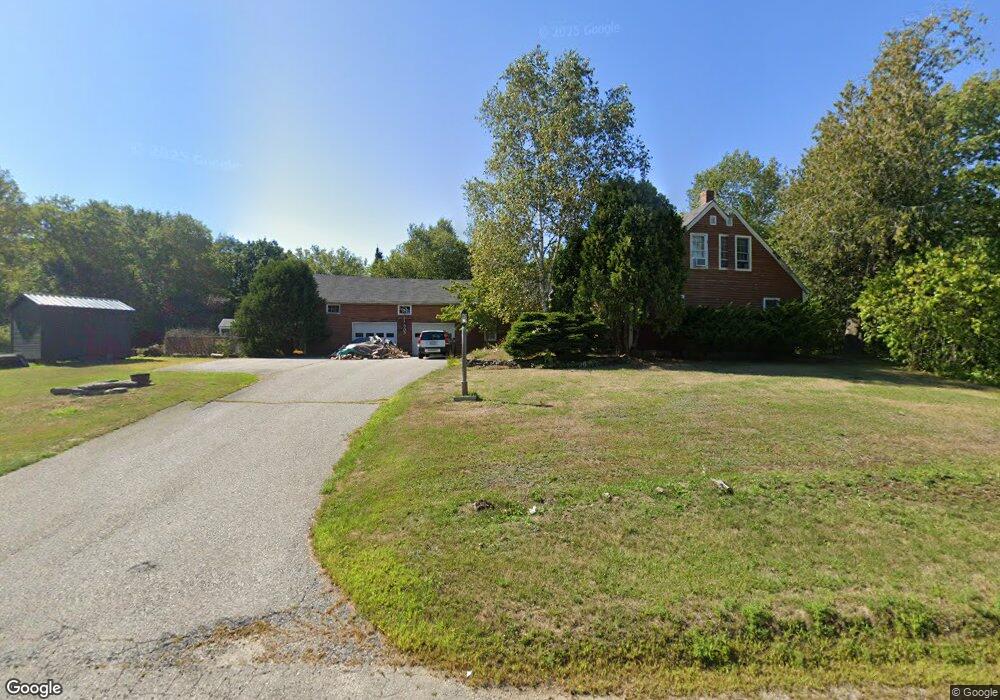
529 Bristol Rd Bristol, ME 04539
Estimated Value: $462,000 - $666,000
--
Bed
--
Bath
--
Sq Ft
1.47
Acres
About This Home
This home is located at 529 Bristol Rd, Bristol, ME 04539 and is currently estimated at $558,274. 529 Bristol Rd is a home with nearby schools including Bristol Consolidated School and Lincoln Academy.
Ownership History
Date
Name
Owned For
Owner Type
Purchase Details
Closed on
Aug 23, 2021
Sold by
Barbetti Marguerite B
Bought by
Burleson William H and Burleson-Bolton Katherine
Current Estimated Value
Home Financials for this Owner
Home Financials are based on the most recent Mortgage that was taken out on this home.
Original Mortgage
$120,000
Outstanding Balance
$109,117
Interest Rate
2.9%
Mortgage Type
Purchase Money Mortgage
Estimated Equity
$449,157
Create a Home Valuation Report for This Property
The Home Valuation Report is an in-depth analysis detailing your home's value as well as a comparison with similar homes in the area
Home Values in the Area
Average Home Value in this Area
Purchase History
| Date | Buyer | Sale Price | Title Company |
|---|---|---|---|
| Burleson William H | -- | None Available |
Source: Public Records
Mortgage History
| Date | Status | Borrower | Loan Amount |
|---|---|---|---|
| Open | Burleson William H | $120,000 |
Source: Public Records
Tax History Compared to Growth
Tax History
| Year | Tax Paid | Tax Assessment Tax Assessment Total Assessment is a certain percentage of the fair market value that is determined by local assessors to be the total taxable value of land and additions on the property. | Land | Improvement |
|---|---|---|---|---|
| 2024 | $2,877 | $323,300 | $44,700 | $278,600 |
| 2023 | $2,570 | $323,300 | $44,700 | $278,600 |
| 2022 | $2,328 | $323,300 | $44,700 | $278,600 |
| 2021 | $2,328 | $323,300 | $44,700 | $278,600 |
| 2020 | $2,344 | $323,300 | $44,700 | $278,600 |
| 2019 | $2,182 | $323,300 | $44,700 | $278,600 |
| 2018 | $2,021 | $323,300 | $44,700 | $278,600 |
| 2017 | $2,021 | $323,300 | $44,700 | $278,600 |
| 2016 | $1,772 | $224,300 | $26,300 | $198,000 |
| 2015 | $1,895 | $224,300 | $26,300 | $198,000 |
| 2014 | $1,772 | $224,300 | $26,300 | $198,000 |
| 2013 | $1,727 | $224,300 | $26,300 | $198,000 |
Source: Public Records
Map
Nearby Homes
- Lot 003905 White Rd
- 6 Stonewyck Ln
- 544 River Rd
- 25 Stoneybrook Ln
- Lot#2 Chase Point Ln
- 688 Benner Rd
- Map10Lot5 Benner Rd
- 003-D Lakeview Dr
- M10L40E4 Christian Hill Rd
- Map10 L39B Christian Hill Rd
- 677 Benner Rd
- 29 Pleasant St
- 23 Vine St
- 0 Hopkins Hill Rd
- Lot 60 Heater Rd
- 35 Main St
- 02-37 Route 1
- Lot# Route 1
- 72 Glidden St
- 80 Academy Hill Rd
- 0 Woodward Farm
- 528 Bristol Rd
- 3 Woodward Farm Rd
- 543 Bristol Rd
- 22 Woodward Farm Rd
- 544 Bristol Rd
- 507 Bristol Rd
- 27 Woodward Farm Rd
- 6 Hatch Ln
- 558 Bristol Rd
- 31 Woodward Farm Rd
- 0 Bristol Rd
- 43 Woodward Farm Rd
- 0 Huston Ln
- 44 Hatch Ln
- 486 Bristol Rd
- 11 Huston Ln
- 75 Tudor Rd
- 478 Bristol Rd
- 587 Bristol Rd