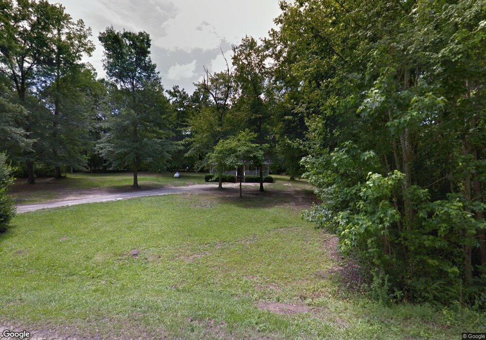
529 Carver St Thomson, GA 30824
Estimated Value: $177,000 - $203,157
4
Beds
3
Baths
1,694
Sq Ft
$111/Sq Ft
Est. Value
About This Home
This home is located at 529 Carver St, Thomson, GA 30824 and is currently estimated at $188,386, approximately $111 per square foot. 529 Carver St is a home located in McDuffie County with nearby schools including Thomson High School.
Ownership History
Date
Name
Owned For
Owner Type
Purchase Details
Closed on
Oct 13, 2010
Sold by
Ard Richard C
Bought by
Ard Katie F and Ard Richard C
Current Estimated Value
Purchase Details
Closed on
Sep 18, 2000
Sold by
Norwest Bank Minnesota
Bought by
Ard Richard C
Purchase Details
Closed on
Jun 1, 1999
Sold by
Thomas Leroy
Bought by
Norwest Bank Minnesota
Purchase Details
Closed on
Feb 28, 1996
Sold by
Wilcher Moses
Bought by
Thomas Leroy
Purchase Details
Closed on
Oct 23, 1987
Bought by
Wilcher Moses
Create a Home Valuation Report for This Property
The Home Valuation Report is an in-depth analysis detailing your home's value as well as a comparison with similar homes in the area
Home Values in the Area
Average Home Value in this Area
Purchase History
| Date | Buyer | Sale Price | Title Company |
|---|---|---|---|
| Ard Katie F | -- | -- | |
| Ard Richard C | $22,000 | -- | |
| Norwest Bank Minnesota | $45,000 | -- | |
| Thomas Leroy | $17,900 | -- | |
| Wilcher Moses | $3,000 | -- |
Source: Public Records
Tax History Compared to Growth
Tax History
| Year | Tax Paid | Tax Assessment Tax Assessment Total Assessment is a certain percentage of the fair market value that is determined by local assessors to be the total taxable value of land and additions on the property. | Land | Improvement |
|---|---|---|---|---|
| 2024 | $1,200 | $47,738 | $3,400 | $44,338 |
| 2023 | $1,200 | $44,970 | $2,400 | $42,570 |
| 2022 | $1,193 | $43,300 | $2,400 | $40,900 |
| 2021 | $961 | $34,256 | $2,400 | $31,856 |
| 2020 | $654 | $23,210 | $2,000 | $21,210 |
| 2019 | $661 | $23,210 | $2,000 | $21,210 |
| 2018 | $661 | $23,210 | $2,000 | $21,210 |
| 2017 | $638 | $23,210 | $2,000 | $21,210 |
| 2016 | $638 | $23,210 | $2,000 | $21,210 |
| 2015 | $581 | $23,210 | $2,000 | $21,210 |
| 2014 | $299 | $11,908 | $2,000 | $9,908 |
| 2013 | -- | $11,908 | $2,000 | $9,908 |
Source: Public Records
Map
Nearby Homes
- 0 Liberty St
- 421 Liberty St
- 651 Moose Club Rd
- 1086 Boneville Rd
- 2592 White Oak Rd
- 139 Margarets Rd
- 219 Devonshire Dr
- 1463 Lokey Dr
- 705 Marshall Church Rd
- 563 Lakewood Dr
- 146 Willow Oak Cir
- 137 Willow Oak Cir
- 122 Willow Oak Cir
- 123 Willow Oak Cir
- 125 Willow Oak Cir
- A-00 Harrison Rd
- 1302 Elias Station
- 1290 Elias Station
- 1379 Elias Station
- 1283 Elias Station