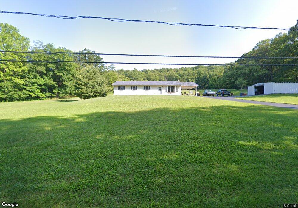
529 Horningtown Rd Mifflintown, PA 17059
Estimated Value: $239,818 - $293,000
4
Beds
2
Baths
1,920
Sq Ft
$141/Sq Ft
Est. Value
About This Home
This home is located at 529 Horningtown Rd, Mifflintown, PA 17059 and is currently estimated at $270,955, approximately $141 per square foot. 529 Horningtown Rd is a home located in Juniata County with nearby schools including Juniata Elementary School, Tuscarora Middle School, and Juniata Senior High School.
Ownership History
Date
Name
Owned For
Owner Type
Purchase Details
Closed on
Sep 18, 2014
Sold by
Davis Kathryn L
Bought by
Davis George G
Current Estimated Value
Home Financials for this Owner
Home Financials are based on the most recent Mortgage that was taken out on this home.
Original Mortgage
$90,000
Outstanding Balance
$68,824
Interest Rate
4.11%
Mortgage Type
Purchase Money Mortgage
Estimated Equity
$202,131
Create a Home Valuation Report for This Property
The Home Valuation Report is an in-depth analysis detailing your home's value as well as a comparison with similar homes in the area
Home Values in the Area
Average Home Value in this Area
Purchase History
| Date | Buyer | Sale Price | Title Company |
|---|---|---|---|
| Davis George G | $125,000 | None Available |
Source: Public Records
Mortgage History
| Date | Status | Borrower | Loan Amount |
|---|---|---|---|
| Open | Davis George G | $90,000 |
Source: Public Records
Tax History Compared to Growth
Tax History
| Year | Tax Paid | Tax Assessment Tax Assessment Total Assessment is a certain percentage of the fair market value that is determined by local assessors to be the total taxable value of land and additions on the property. | Land | Improvement |
|---|---|---|---|---|
| 2025 | $2,711 | $23,230 | $2,860 | $20,370 |
| 2024 | $2,483 | $23,230 | $2,860 | $20,370 |
| 2023 | $2,402 | $23,230 | $2,860 | $20,370 |
| 2022 | $2,363 | $23,230 | $2,860 | $20,370 |
| 2021 | $2,271 | $23,230 | $2,860 | $20,370 |
| 2020 | $2,116 | $23,230 | $2,860 | $20,370 |
| 2019 | $2,112 | $23,230 | $2,860 | $20,370 |
| 2018 | $2,081 | $23,230 | $2,860 | $20,370 |
| 2017 | -- | $23,230 | $2,860 | $20,370 |
| 2016 | $1,959 | $23,230 | $2,860 | $20,370 |
| 2015 | -- | $23,230 | $2,860 | $20,370 |
| 2014 | -- | $23,230 | $2,860 | $20,370 |
Source: Public Records
Map
Nearby Homes
- 327 La Rue Ln
- 600, 650, 656 Airport Dr
- 250 Oak Ln
- 255 Sycamore Dr
- 239 Dolan Heights Rd
- 114 Summit St
- 202 Licking St
- US Route 322 and Rou Kauffman Ln
- 3 6th St
- 305 Orange St
- 292 Manbeck Ln
- 6 Main St
- 99 Bridge St
- 10 S 3rd St
- 2679 Industrial Park Rd
- 25533 Route 35 N
- 1145 Cedar Springs Rd
- 93 Howell Dr
- 0 00 Gingerfield Drive (Lot 7&8)
- 10 Ginger Ln
- 453 Horningtown Rd
- 589 Horningtown Rd
- 446 Horningtown Rd
- 606 Horningtown Rd
- 21 Dneen Dr
- 59 Dneen Dr
- 342 Horningtown Rd
- Lot#2 Horningtown Rd
- Lot #2 Horningtown Rd
- 97 Rawhide Dr
- 63 La Rue Ln
- 236 Daniel Dr
- Lot 5 Horningtown Rd
- 747 Horningtown Rd
- 143 La Rue Ln
- 301 Horningtown Rd
- 799 Horningtown Rd
- 165 La Rue Ln
- 258 La Rue Ln
- 0 Horningtown Rd