Estimated Value: $256,646 - $282,000
3
Beds
2
Baths
1,680
Sq Ft
$161/Sq Ft
Est. Value
About This Home
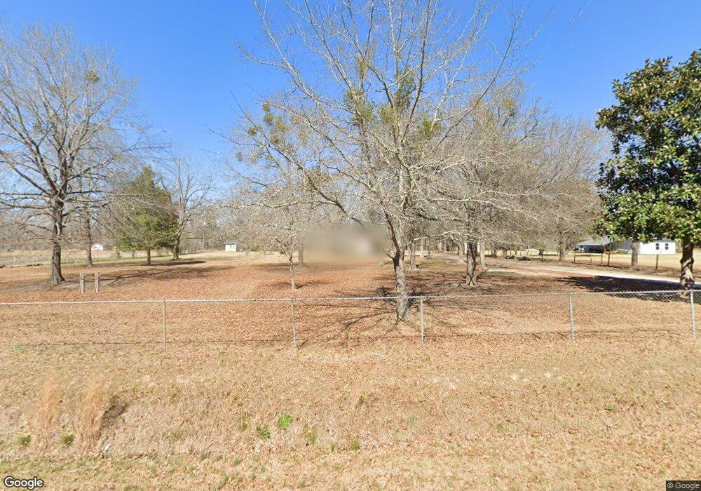
This home is located at 529 Kay Rd, Byron, GA 31008 and is currently estimated at $270,162, approximately $160 per square foot. 529 Kay Rd is a home located in Peach County with nearby schools including Kay Road Elementary School, Fort Valley Middle School, and Peach County High School.
Ownership History
Date
Name
Owned For
Owner Type
Purchase Details
Closed on
Oct 20, 2014
Sold by
Garrett Barbara B
Bought by
Garrett Barbara R and Garrett Cornelius Griffin
Current Estimated Value
Home Financials for this Owner
Home Financials are based on the most recent Mortgage that was taken out on this home.
Original Mortgage
$60,000
Interest Rate
4.38%
Mortgage Type
New Conventional
Purchase Details
Closed on
Sep 30, 1996
Bought by
Garrett Barbara B
Create a Home Valuation Report for This Property
The Home Valuation Report is an in-depth analysis detailing your home's value as well as a comparison with similar homes in the area
Home Values in the Area
Average Home Value in this Area
Purchase History
| Date | Buyer | Sale Price | Title Company |
|---|---|---|---|
| Garrett Barbara R | -- | -- | |
| Garrett Barbara B | -- | -- |
Source: Public Records
Mortgage History
| Date | Status | Borrower | Loan Amount |
|---|---|---|---|
| Closed | Garrett Barbara R | $60,000 |
Source: Public Records
Tax History Compared to Growth
Tax History
| Year | Tax Paid | Tax Assessment Tax Assessment Total Assessment is a certain percentage of the fair market value that is determined by local assessors to be the total taxable value of land and additions on the property. | Land | Improvement |
|---|---|---|---|---|
| 2024 | $1,990 | $85,068 | $9,360 | $75,708 |
| 2023 | $1,955 | $83,040 | $9,360 | $73,680 |
| 2022 | $1,699 | $73,520 | $9,360 | $64,160 |
| 2021 | $1,580 | $62,088 | $9,360 | $52,728 |
| 2020 | $1,555 | $61,284 | $9,360 | $51,924 |
| 2019 | $1,515 | $59,804 | $9,360 | $50,444 |
| 2018 | $1,522 | $59,804 | $9,360 | $50,444 |
| 2017 | $1,528 | $59,804 | $9,360 | $50,444 |
| 2016 | $1,523 | $59,804 | $9,360 | $50,444 |
| 2015 | $464 | $21,880 | $9,360 | $12,520 |
| 2014 | $122 | $12,400 | $9,360 | $3,040 |
| 2013 | -- | $12,400 | $9,360 | $3,040 |
Source: Public Records
Map
Nearby Homes
- 81 Idell Ct
- 0 Barker Rd Unit 243030
- 0 Barker Rd Unit 14258525
- 0 Barker Rd Unit 175053
- 152 Hawks Ridge Trace
- 510 Southland Trail
- 127 Hawks Ridge Trace
- 120 Hawks Ridge Trace
- 117 Hawks Ridge Trace
- 408 Dixieland Dr
- 109 Red Tail Cir
- 107 Red Tail Cir
- 120 Hawks Place
- 199 Red Tail Cir
- 1046 Walker Rd
- 302 Southland Trail
- 219 Rowland Cir
- 51 Allred Rd
- 45 Sullivan Dr
- 121 Sullivan Dr
- 421 Avera Ln
- 453 Kay Rd
- 0 Avera Ln
- 0 Avera Ln Unit 132883
- 0 Avera Ln Unit 7625945
- 0 Avera Ln Unit 7345824
- 0 Avera Ln Unit 8436463
- 68 Sullivan Dr
- 438 Kay Rd
- 131 Sullivan Dr
- 350 Avera Ln
- 165 Sullivan Dr
- 0 Sullivan Dr Unit 7435203
- 0 Sullivan Dr Unit 8527163
- 0 Sullivan Dr Unit 8429249
- 0 Sullivan Dr
- 659 Kay Rd
- 104 Sullivan Dr