529 Madison Ridge Rd Lawrenceburg, IN 47025
Estimated Value: $449,293 - $593,000
4
Beds
3
Baths
2,138
Sq Ft
$250/Sq Ft
Est. Value
About This Home
This home is located at 529 Madison Ridge Rd, Lawrenceburg, IN 47025 and is currently estimated at $534,073, approximately $249 per square foot. 529 Madison Ridge Rd is a home with nearby schools including East Central High School.
Ownership History
Date
Name
Owned For
Owner Type
Purchase Details
Closed on
Sep 21, 2022
Sold by
Bihn Daniel L
Bought by
Foust Jason and Foust Catherine Ruth
Current Estimated Value
Home Financials for this Owner
Home Financials are based on the most recent Mortgage that was taken out on this home.
Original Mortgage
$400,000
Outstanding Balance
$383,053
Interest Rate
5.55%
Mortgage Type
New Conventional
Estimated Equity
$151,020
Purchase Details
Closed on
Mar 15, 2022
Sold by
American Development Company Inc
Bought by
Bihn Daniel L
Home Financials for this Owner
Home Financials are based on the most recent Mortgage that was taken out on this home.
Original Mortgage
$333,200
Interest Rate
3.55%
Mortgage Type
Construction
Create a Home Valuation Report for This Property
The Home Valuation Report is an in-depth analysis detailing your home's value as well as a comparison with similar homes in the area
Home Values in the Area
Average Home Value in this Area
Purchase History
| Date | Buyer | Sale Price | Title Company |
|---|---|---|---|
| Foust Jason | -- | -- | |
| Bihn Daniel L | $56,500 | None Listed On Document |
Source: Public Records
Mortgage History
| Date | Status | Borrower | Loan Amount |
|---|---|---|---|
| Open | Foust Jason | $400,000 | |
| Previous Owner | Bihn Daniel L | $333,200 |
Source: Public Records
Tax History Compared to Growth
Tax History
| Year | Tax Paid | Tax Assessment Tax Assessment Total Assessment is a certain percentage of the fair market value that is determined by local assessors to be the total taxable value of land and additions on the property. | Land | Improvement |
|---|---|---|---|---|
| 2024 | $2,665 | $278,000 | $29,100 | $248,900 |
| 2023 | $1,947 | $220,900 | $29,100 | $191,800 |
| 2022 | $82 | $29,100 | $29,100 | $0 |
| 2021 | $22 | $1,200 | $1,200 | $0 |
| 2020 | $22 | $0 | $0 | $0 |
Source: Public Records
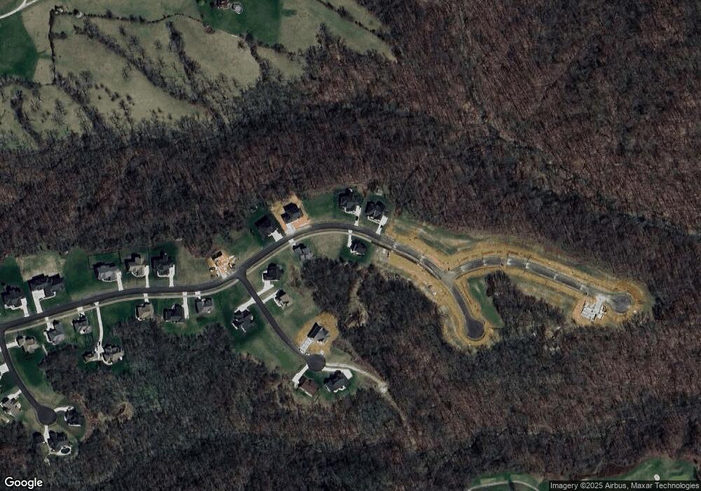
Map
Nearby Homes
- 0 Inghams Mill Ln Unit 205574
- Sanibel Plan at The Crossing At Tanners Creek
- Longwood Plan at The Crossing At Tanners Creek
- Avalon Plan at The Crossing At Tanners Creek
- Dallas Plan at The Crossing At Tanners Creek
- Drexel Plan at The Crossing At Tanners Creek
- Somerset Plan at The Crossing At Tanners Creek
- Rockford Plan at The Crossing At Tanners Creek
- 18815 Rileys Ridge
- 18820 Casey's Trail
- 18826 Casey's Trail
- 0 Timberline Trail Unit 198823
- 2504 Cove Cir W
- 2458 Cedar Cliff Dr
- 511 Bielby Rd
- 19358 Par Dr
- 18778 Keller Rd
- 1753 Cove Cir E
- 20072 Cravenhurst Dr
- 1479 Fairway Dr
- 472 Muirfield Point
- 456 Muirfield Point
- 19254 Perfect Place Ln
- 19254 Perfect Place Ln
- 19499 State Route 1
- 19564 State Route 1
- 19640 State Route 1
- 19421 State Route 1
- 19570 Salt Fork Rd
- 19440 State Route 1
- 21 Leah Ln
- 19550 Salt Fork Rd
- 19642 Salt Fork Rd
- 19422 State Route 1
- 19415 State Route 1
- 19658 Salt Fork Rd
- 19672 Salt Fork Rd
- 19724 Salt Fork Rd
- 19748 Salt Fork Rd
- 18420 Pribble Rd