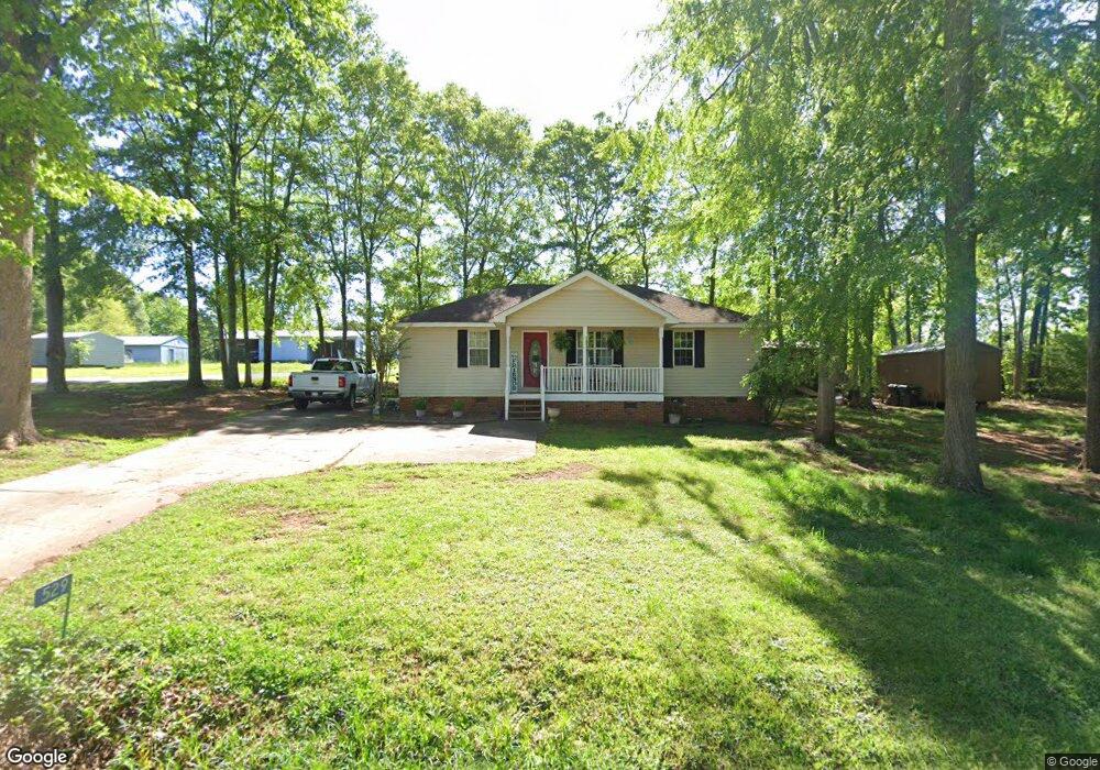
529 Mulberry St Thomaston, GA 30286
Estimated Value: $177,000 - $232,000
3
Beds
2
Baths
1,215
Sq Ft
$167/Sq Ft
Est. Value
About This Home
This home is located at 529 Mulberry St, Thomaston, GA 30286 and is currently estimated at $202,624, approximately $166 per square foot. 529 Mulberry St is a home located in Upson County with nearby schools including Upson-Lee South Elementary School, Upson-Lee North Elementary School, and Upson-Lee Middle School.
Ownership History
Date
Name
Owned For
Owner Type
Purchase Details
Closed on
Sep 24, 2008
Sold by
Not Provided
Bought by
Spoon Donny A and Spoon Angel N
Current Estimated Value
Home Financials for this Owner
Home Financials are based on the most recent Mortgage that was taken out on this home.
Original Mortgage
$61,573
Interest Rate
6.36%
Mortgage Type
New Conventional
Create a Home Valuation Report for This Property
The Home Valuation Report is an in-depth analysis detailing your home's value as well as a comparison with similar homes in the area
Home Values in the Area
Average Home Value in this Area
Purchase History
| Date | Buyer | Sale Price | Title Company |
|---|---|---|---|
| Spoon Donny A | $60,800 | -- |
Source: Public Records
Mortgage History
| Date | Status | Borrower | Loan Amount |
|---|---|---|---|
| Closed | Spoon Donny A | $61,573 | |
| Closed | Spoon Donny A | $23,837 |
Source: Public Records
Tax History Compared to Growth
Tax History
| Year | Tax Paid | Tax Assessment Tax Assessment Total Assessment is a certain percentage of the fair market value that is determined by local assessors to be the total taxable value of land and additions on the property. | Land | Improvement |
|---|---|---|---|---|
| 2024 | $1,481 | $56,186 | $8,000 | $48,186 |
| 2023 | $1,475 | $54,239 | $8,000 | $46,239 |
| 2022 | $1,183 | $42,664 | $8,000 | $34,664 |
| 2021 | $989 | $37,518 | $8,000 | $29,518 |
| 2020 | $922 | $32,673 | $6,400 | $26,273 |
| 2019 | $855 | $27,911 | $4,000 | $23,911 |
| 2018 | $856 | $27,911 | $4,000 | $23,911 |
| 2017 | $735 | $21,873 | $3,200 | $18,673 |
| 2016 | $725 | $21,217 | $3,200 | $18,017 |
| 2015 | $725 | $21,217 | $3,200 | $18,017 |
| 2014 | $726 | $21,217 | $3,200 | $18,017 |
Source: Public Records
Map
Nearby Homes
- 556 Sunnyland Dr
- 524 Sunnyland Dr
- 216 E Moores Crossing Rd
- 0 W Moores Crossing Rd Unit 10605207
- 1205 Shady Ln
- 2615 Barnesville Hwy
- 657 Tom McKinley Rd
- 115 Hillside Dr
- 201 Creekside Manor Dr
- 2724 Barnesville St
- 101 Pineview Dr
- LOT 193 Morningside Ct
- LOT 195 Morningside Ct
- LOT 194 Morningside Ct
- 114 C St NE
- 106 C St NE
- 458 E St
- 113 Park Ln
- 525 6th Ave
- 74 E St
- 531 Mulberry St
- 563 Meadow Dr
- 538 Dogwood Dr
- 530 Mulberry St
- 557 Meadow Dr
- 564 Meadow Dr Unit 8
- 564 Meadow Dr
- 565 Meadow Dr
- 525 Mulberry St
- 567 Meadow Dr
- 567 Meadow Dr
- 556 Meadow Dr
- 539 Dogwood Dr
- 566 Meadow Dr
- 534 Dogwood Dr
- 523 Mulberry St
- 539 Mulberry St
- 541 Mulberry St
- 543 Mulberry St
- 537 Mulberry St