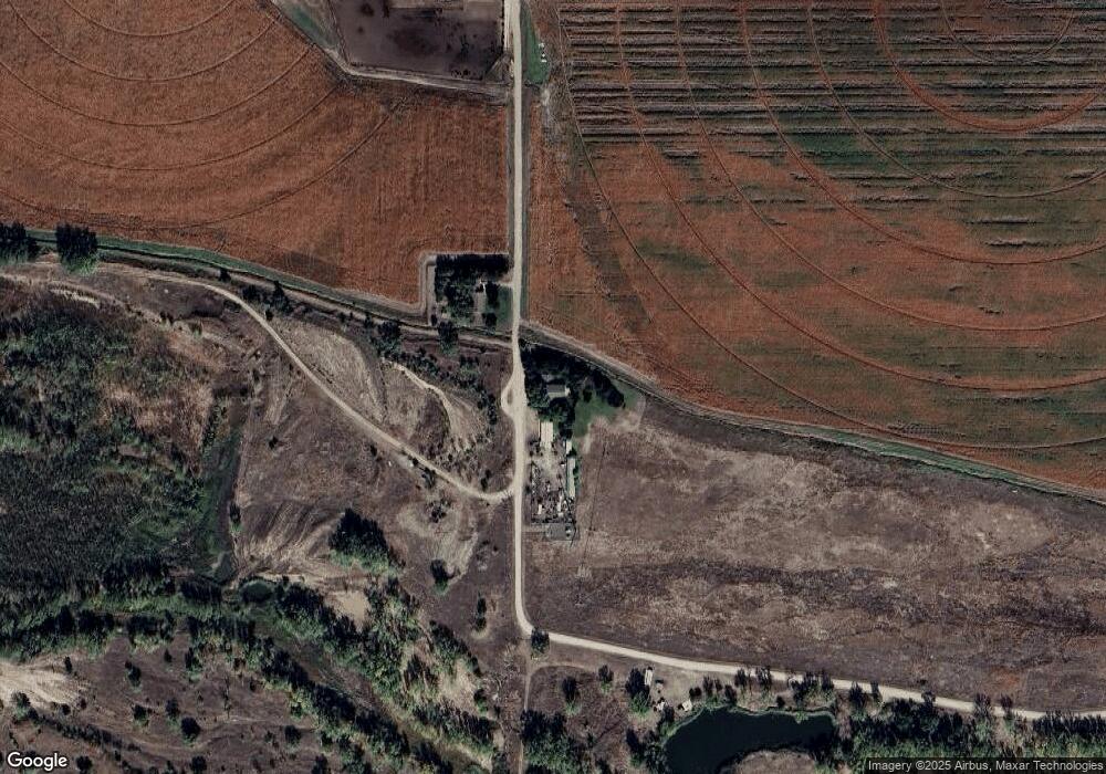
529 N Splinter Rd North Platte, NE 69101
Estimated Value: $414,000 - $470,000
4
Beds
1
Bath
3,072
Sq Ft
$144/Sq Ft
Est. Value
About This Home
This home is located at 529 N Splinter Rd, North Platte, NE 69101 and is currently estimated at $443,625, approximately $144 per square foot. 529 N Splinter Rd is a home located in Lincoln County with nearby schools including North Platte High School.
Ownership History
Date
Name
Owned For
Owner Type
Purchase Details
Closed on
Jan 15, 2025
Sold by
Mle Trust and Ekdahl Kenda K
Bought by
Siemers Dylan and Siemers Rachel
Current Estimated Value
Home Financials for this Owner
Home Financials are based on the most recent Mortgage that was taken out on this home.
Original Mortgage
$195,000
Outstanding Balance
$192,898
Interest Rate
6.69%
Mortgage Type
New Conventional
Estimated Equity
$250,727
Purchase Details
Closed on
Apr 7, 2023
Sold by
Ekdahl Michal L and Ekdahl Kenda K
Bought by
Mle Trust
Purchase Details
Closed on
Jul 22, 2010
Sold by
Lucas Ty and Smith Jennifer
Bought by
Ekdahl Michal L and Ekdahl Kenda K
Home Financials for this Owner
Home Financials are based on the most recent Mortgage that was taken out on this home.
Original Mortgage
$380,000
Interest Rate
4.54%
Mortgage Type
Future Advance Clause Open End Mortgage
Create a Home Valuation Report for This Property
The Home Valuation Report is an in-depth analysis detailing your home's value as well as a comparison with similar homes in the area
Purchase History
| Date | Buyer | Sale Price | Title Company |
|---|---|---|---|
| Siemers Dylan | $435,000 | Scott Abstract | |
| Mle Trust | -- | None Listed On Document | |
| Ekdahl Michal L | $380,000 | None Available |
Source: Public Records
Mortgage History
| Date | Status | Borrower | Loan Amount |
|---|---|---|---|
| Open | Siemers Dylan | $195,000 | |
| Previous Owner | Ekdahl Michal L | $380,000 |
Source: Public Records
Tax History
| Year | Tax Paid | Tax Assessment Tax Assessment Total Assessment is a certain percentage of the fair market value that is determined by local assessors to be the total taxable value of land and additions on the property. | Land | Improvement |
|---|---|---|---|---|
| 2025 | $3,168 | $329,404 | $42,000 | $287,404 |
| 2024 | $3,885 | $308,133 | $42,000 | $266,133 |
| 2023 | $3,885 | $282,680 | $42,000 | $240,680 |
| 2022 | $3,418 | $236,137 | $42,000 | $194,137 |
| 2021 | $3,445 | $236,137 | $42,000 | $194,137 |
| 2020 | $3,510 | $236,137 | $42,000 | $194,137 |
| 2019 | $3,691 | $247,517 | $12,268 | $235,249 |
| 2018 | $3,412 | $227,080 | $11,255 | $215,825 |
| 2017 | $3,431 | $227,080 | $11,255 | $215,825 |
| 2016 | $3,802 | $247,125 | $11,255 | $235,870 |
| 2014 | $2,954 | $180,965 | $11,255 | $169,710 |
Source: Public Records
Map
Nearby Homes
Your Personal Tour Guide
Ask me questions while you tour the home.