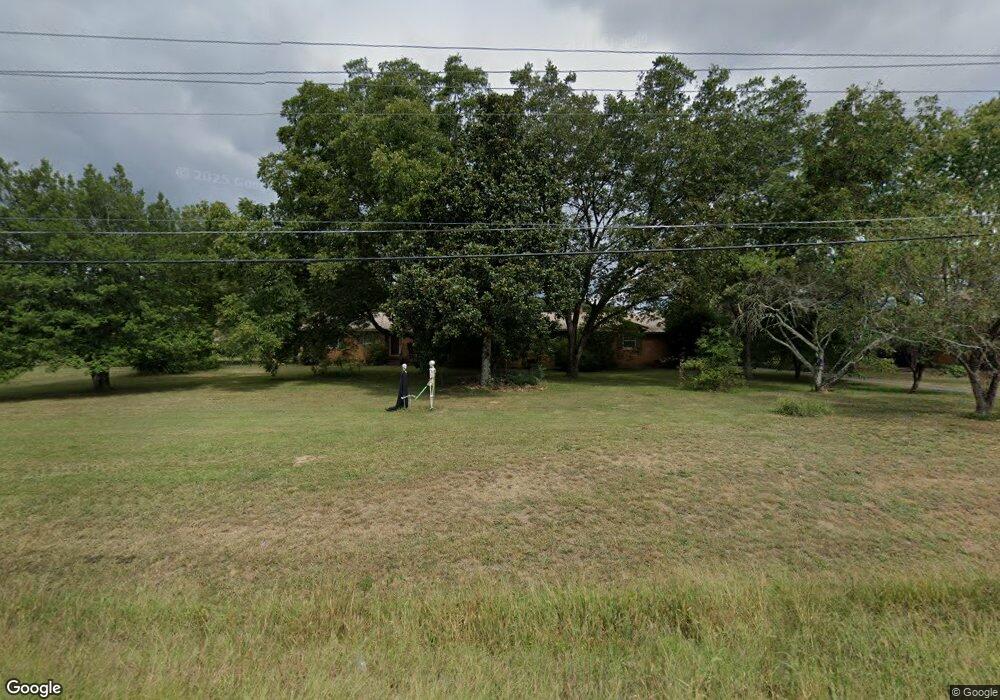
529 Roland Hayes Pkwy NW Calhoun, GA 30701
Estimated Value: $258,000 - $372,000
4
Beds
2
Baths
2,265
Sq Ft
$141/Sq Ft
Est. Value
About This Home
This home is located at 529 Roland Hayes Pkwy NW, Calhoun, GA 30701 and is currently estimated at $319,274, approximately $140 per square foot. 529 Roland Hayes Pkwy NW is a home located in Gordon County with nearby schools including Swain Elementary School, Ashworth Middle School, and Gordon Central High School.
Ownership History
Date
Name
Owned For
Owner Type
Purchase Details
Closed on
Jul 2, 2019
Sold by
Fowler Terina L
Bought by
Hall Kendra E
Current Estimated Value
Purchase Details
Closed on
Dec 20, 2002
Sold by
Hall William Clarence and Hall Louise
Bought by
Fowler Terina Louise
Purchase Details
Closed on
Oct 1, 2002
Sold by
Fowler Terina Louise and Fowler Kendra
Bought by
Hall William Clarence and Hall Louise B
Purchase Details
Closed on
Jan 8, 2002
Sold by
Williams Sherry Diane
Bought by
Fowler Terina Louise and Fowler Kendra E
Purchase Details
Closed on
Sep 12, 1996
Bought by
Williams Sherry Diane
Create a Home Valuation Report for This Property
The Home Valuation Report is an in-depth analysis detailing your home's value as well as a comparison with similar homes in the area
Home Values in the Area
Average Home Value in this Area
Purchase History
| Date | Buyer | Sale Price | Title Company |
|---|---|---|---|
| Hall Kendra E | $71,000 | -- | |
| Fowler Terina Louise | -- | -- | |
| Hall William Clarence | -- | -- | |
| Fowler Terina Louise | -- | -- | |
| Williams Sherry Diane | -- | -- |
Source: Public Records
Tax History Compared to Growth
Tax History
| Year | Tax Paid | Tax Assessment Tax Assessment Total Assessment is a certain percentage of the fair market value that is determined by local assessors to be the total taxable value of land and additions on the property. | Land | Improvement |
|---|---|---|---|---|
| 2024 | $2,074 | $83,628 | $5,680 | $77,948 |
| 2023 | $1,938 | $78,268 | $5,680 | $72,588 |
| 2022 | $1,925 | $73,268 | $5,680 | $67,588 |
| 2021 | $1,641 | $60,588 | $5,680 | $54,908 |
| 2020 | $1,699 | $61,308 | $5,680 | $55,628 |
| 2019 | $552 | $61,308 | $5,680 | $55,628 |
| 2018 | $510 | $56,908 | $5,680 | $51,228 |
| 2017 | $491 | $53,908 | $5,680 | $48,228 |
| 2016 | $492 | $53,908 | $5,680 | $48,228 |
| 2015 | $485 | $52,868 | $5,680 | $47,188 |
| 2014 | $461 | $51,271 | $5,697 | $45,574 |
Source: Public Records
Map
Nearby Homes
- 210 Madison Dr SW
- 215 Wilson St
- 153 Riverview Dr
- 100 Neal St
- 227 Mcconnell Rd
- 413 Beamer Rd SW
- 404 Mcginnis Cir
- 207 N River St
- 137 Regency Row SW
- The Braselton II Plan at Fair Oak
- The Reynolds Plan at Fair Oak
- The Buford II Plan at Fair Oak
- The Lawson Plan at Fair Oak
- The Caldwell Plan at Fair Oak
- The Benson II Plan at Fair Oak
- The Greenbrier II Plan at Fair Oak
- 176 Village Way SW
- 130 Brookstone Dr SW
- 201 King St N
- 522 Roland Hayes Pkwy SW
- 00 Roland Hayes Pkwy SW
- 131 New Zion Rd SW
- 131 New Zion Rd SW
- 604 Roland Hayes Pkwy SW
- 449C W Kinman Rd SW
- 180 New Zion Rd SW
- 193 Herrington Bend Rd NW
- 626 Roland Hayes Pkwy SW
- 449 Roland Hayes Pkwy NW
- 672 Roland Hayes Pkwy SW
- 179 New Zion Rd SW
- 664 Roland Hayes Pkwy SW
- 670 Roland Hayes Pkwy SW
- 0 Herrington Bend Rd NW Unit 323712
- 0 Herrington Bend Rd NW Unit 20111899
- 0 Herrington Bend Rd NW Unit 7193572
- 0 Herrington Bend Rd NW Unit 7331750
- 0 Herrington Bend Rd NW Unit 8212642
- 0 Herrington Bend Rd NW Unit 8477980