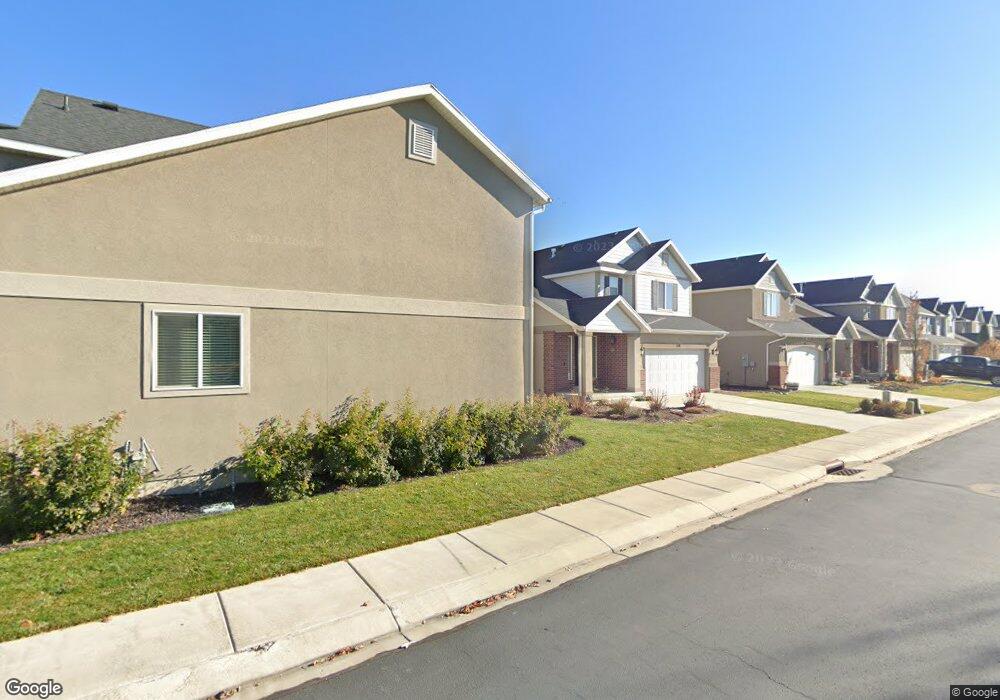
529 S 2310 W Pleasant Grove, UT 84062
Estimated Value: $491,000 - $548,000
3
Beds
3
Baths
1,654
Sq Ft
$313/Sq Ft
Est. Value
About This Home
This home is located at 529 S 2310 W, Pleasant Grove, UT 84062 and is currently estimated at $517,987, approximately $313 per square foot. 529 S 2310 W is a home located in Utah County with nearby schools including Barratt Elementary School, American Fork Junior High School, and American Fork High School.
Ownership History
Date
Name
Owned For
Owner Type
Purchase Details
Closed on
Aug 28, 2020
Sold by
Dyches Matthew S and Lister Mckenzie
Bought by
Kane Michael George
Current Estimated Value
Home Financials for this Owner
Home Financials are based on the most recent Mortgage that was taken out on this home.
Original Mortgage
$280,800
Outstanding Balance
$249,191
Interest Rate
2.9%
Mortgage Type
New Conventional
Estimated Equity
$268,796
Create a Home Valuation Report for This Property
The Home Valuation Report is an in-depth analysis detailing your home's value as well as a comparison with similar homes in the area
Home Values in the Area
Average Home Value in this Area
Purchase History
| Date | Buyer | Sale Price | Title Company |
|---|---|---|---|
| Kane Michael George | -- | Union Title |
Source: Public Records
Mortgage History
| Date | Status | Borrower | Loan Amount |
|---|---|---|---|
| Open | Kane Michael George | $280,800 |
Source: Public Records
Tax History Compared to Growth
Tax History
| Year | Tax Paid | Tax Assessment Tax Assessment Total Assessment is a certain percentage of the fair market value that is determined by local assessors to be the total taxable value of land and additions on the property. | Land | Improvement |
|---|---|---|---|---|
| 2025 | $1,917 | $452,500 | $187,800 | $264,700 |
| 2024 | $1,917 | $228,855 | $0 | $0 |
| 2023 | $1,888 | $230,725 | $0 | $0 |
| 2022 | $2,035 | $247,390 | $0 | $0 |
| 2021 | $1,790 | $331,400 | $125,800 | $205,600 |
| 2020 | $1,688 | $306,300 | $112,300 | $194,000 |
| 2019 | $1,507 | $282,800 | $103,700 | $179,100 |
| 2018 | $1,429 | $253,600 | $97,900 | $155,700 |
| 2017 | $1,321 | $124,795 | $0 | $0 |
| 2016 | $1,355 | $123,530 | $0 | $0 |
| 2015 | $567 | $49,000 | $0 | $0 |
Source: Public Records
Map
Nearby Homes
- 581 S 2220 W Unit 301
- 518 S 2150 W Unit 202
- 574 S 2150 W Unit 104
- 684 S 2150 W Unit 203
- 626 S 2310 W
- 661 S 2220 W Unit 202
- 685 S 2220 W Unit 102
- 685 S 2220 W Unit 302
- 1795 W 120 S Unit 52
- The Henley B Plan at Tayside Farm - Single Family Home
- The Hastings Plan at Tayside Farm - Townhome
- The Henley A Plan at Tayside Farm - Single Family Home
- The Denton Plan at Tayside Farm - Townhome
- 128 S 1700 W Unit 12
- 1775 W 120 S Unit 54
- 1765 W 120 S Unit 55
- 29 S 2000 W
- 1597 W 80 S
- 43 S 1630 W
- 1559 W 50 N