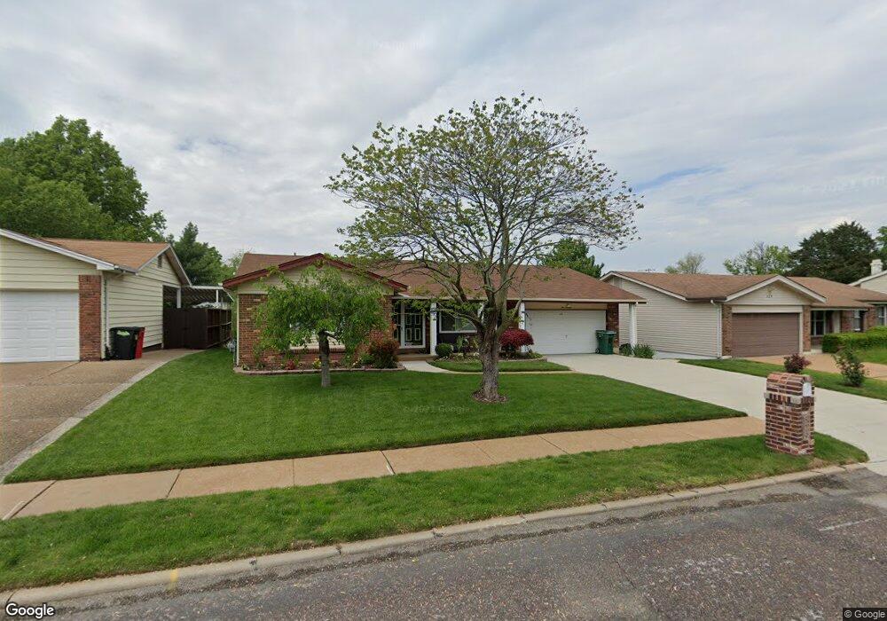
529 Sappington Barracks Rd Saint Louis, MO 63125
Mehlville NeighborhoodEstimated Value: $273,000 - $304,000
3
Beds
2
Baths
1,558
Sq Ft
$187/Sq Ft
Est. Value
About This Home
This home is located at 529 Sappington Barracks Rd, Saint Louis, MO 63125 and is currently estimated at $291,722, approximately $187 per square foot. 529 Sappington Barracks Rd is a home located in St. Louis County with nearby schools including Forder Elementary School, Margaret Buerkle Middle School, and Mehlville High School.
Ownership History
Date
Name
Owned For
Owner Type
Purchase Details
Closed on
Sep 4, 2025
Sold by
Qualified Spousal Trust Of Steven Michae and Schwartz Steven Michael
Bought by
Walters Craig H and Glass-Walters Dolores D
Current Estimated Value
Home Financials for this Owner
Home Financials are based on the most recent Mortgage that was taken out on this home.
Original Mortgage
$155,000
Outstanding Balance
$155,000
Interest Rate
6.74%
Mortgage Type
New Conventional
Estimated Equity
$136,722
Purchase Details
Closed on
Sep 14, 2007
Sold by
Schwartz Sally Jean and Junge Sally Jean
Bought by
Schwartz Steven and Schwartz Sally Jean
Create a Home Valuation Report for This Property
The Home Valuation Report is an in-depth analysis detailing your home's value as well as a comparison with similar homes in the area
Home Values in the Area
Average Home Value in this Area
Purchase History
| Date | Buyer | Sale Price | Title Company |
|---|---|---|---|
| Walters Craig H | -- | Investors Title Company | |
| Schwartz Steven | -- | None Available |
Source: Public Records
Mortgage History
| Date | Status | Borrower | Loan Amount |
|---|---|---|---|
| Open | Walters Craig H | $155,000 |
Source: Public Records
Tax History
| Year | Tax Paid | Tax Assessment Tax Assessment Total Assessment is a certain percentage of the fair market value that is determined by local assessors to be the total taxable value of land and additions on the property. | Land | Improvement |
|---|---|---|---|---|
| 2025 | $2,982 | $47,820 | $13,870 | $33,950 |
| 2024 | $2,982 | $43,930 | $7,620 | $36,310 |
| 2023 | $2,944 | $43,930 | $7,620 | $36,310 |
| 2022 | $2,760 | $38,230 | $7,620 | $30,610 |
| 2021 | $2,449 | $38,230 | $7,620 | $30,610 |
| 2020 | $2,340 | $34,720 | $9,030 | $25,690 |
| 2019 | $2,333 | $34,720 | $9,030 | $25,690 |
| 2018 | $2,259 | $30,350 | $6,120 | $24,230 |
| 2016 | $2,264 | $29,220 | $6,120 | $23,100 |
Source: Public Records
Map
Nearby Homes
- 686 Damascus Dr
- 851 Poplar Dr
- 3228 Lin Tel Rd
- 807 Victory Dr
- 2956 Chevron Dr
- 701 Chevron Dr
- 2957 Caspian Ln
- 846 Ricewood Dr
- 576 Clager Dr
- 1021 Adworth Dr Unit J
- 1 Berview Cir Unit B
- 1125 Hawkstone Ln
- 2818 Redstone Dr
- 19 Berview Cir Unit H
- 19 Berview Cir Unit B
- 793 Forder Manor Dr
- 525 Fairwick Dr
- 1031 Forder Square Dr
- 1045 Mersey Bend Dr Unit F
- 105 Sylvia Dr
- 525 Sappington Barracks Rd
- 533 Sappington Barracks Rd
- 554 Blossomheath Dr
- 548 Blossomheath Dr
- 537 Sappington Barracks Rd
- 521 Sappington Barracks Rd
- 560 Blossomheath Dr
- 510 Sappington Barracks Rd
- 410 Blossomheath Ln
- 541 Sappington Barracks Rd
- 520 Sappington Barracks Rd
- 565 Blossomheath Dr
- 511 Buckley Rd
- 507 Buckley Rd
- 506 Sappington Barracks Rd
- 403 Blossomheath Ln
- 515 Buckley Rd
- 545 Blossomheath Dr
- 524 Sappington Barracks Rd
- 503 Buckley Rd
Your Personal Tour Guide
Ask me questions while you tour the home.