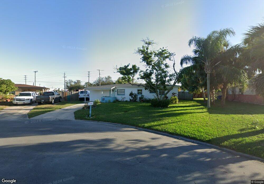
529 Seacrest Ave Merritt Island, FL 32952
Estimated Value: $261,462 - $329,000
3
Beds
2
Baths
1,169
Sq Ft
$247/Sq Ft
Est. Value
About This Home
This home is located at 529 Seacrest Ave, Merritt Island, FL 32952 and is currently estimated at $288,866, approximately $247 per square foot. 529 Seacrest Ave is a home located in Brevard County with nearby schools including Tropical Elementary School, Thomas Jefferson Middle School, and Merritt Island High School.
Ownership History
Date
Name
Owned For
Owner Type
Purchase Details
Closed on
May 5, 2009
Sold by
Federal Home Loan Mortgage Corporation
Bought by
Brisbois Brett and Brisbois Patricia
Current Estimated Value
Purchase Details
Closed on
Jan 21, 2009
Sold by
Hahn Donna M
Bought by
Federal Home Loan Mortgage Corp
Purchase Details
Closed on
Dec 14, 2001
Sold by
Zahorak Donald L and Zahorak Michelle L
Bought by
Hahn Donna M
Home Financials for this Owner
Home Financials are based on the most recent Mortgage that was taken out on this home.
Original Mortgage
$52,700
Interest Rate
6.42%
Create a Home Valuation Report for This Property
The Home Valuation Report is an in-depth analysis detailing your home's value as well as a comparison with similar homes in the area
Home Values in the Area
Average Home Value in this Area
Purchase History
| Date | Buyer | Sale Price | Title Company |
|---|---|---|---|
| Brisbois Brett | $42,500 | Attorney | |
| Federal Home Loan Mortgage Corp | -- | Attorney | |
| Hahn Donna M | $55,500 | -- |
Source: Public Records
Mortgage History
| Date | Status | Borrower | Loan Amount |
|---|---|---|---|
| Previous Owner | Hahn Donna M | $52,700 |
Source: Public Records
Tax History Compared to Growth
Tax History
| Year | Tax Paid | Tax Assessment Tax Assessment Total Assessment is a certain percentage of the fair market value that is determined by local assessors to be the total taxable value of land and additions on the property. | Land | Improvement |
|---|---|---|---|---|
| 2025 | $975 | $59,350 | -- | -- |
| 2024 | $956 | $57,680 | -- | -- |
| 2023 | $956 | $56,000 | $0 | $0 |
| 2022 | $912 | $54,370 | $0 | $0 |
| 2021 | $916 | $52,790 | $0 | $0 |
| 2020 | $858 | $52,070 | $0 | $0 |
| 2019 | $804 | $50,900 | $0 | $0 |
| 2018 | $802 | $49,960 | $0 | $0 |
| 2017 | $789 | $48,940 | $0 | $0 |
| 2016 | $784 | $47,940 | $16,000 | $31,940 |
| 2015 | $783 | $47,610 | $16,000 | $31,610 |
| 2014 | $784 | $47,240 | $16,000 | $31,240 |
Source: Public Records
Map
Nearby Homes
- 513 Palm Ave
- 455 Catamaran Dr Unit 48
- 489 Kennwood Ave
- 435 Catamaran Dr Unit 49
- 505 Landings Way Unit 10
- 476 Nancie Ave
- 220 Bel Aire Dr S
- 185 Moore Ave
- 355 Aztec Ave
- 180 Brandy Ln
- 90 S Tropical Way
- 140 Brandy Ln
- 280 Andros Dr
- 115 Carib Dr
- 66 Moore Ave
- 270 W Lauren Ct
- 230 Andros Dr
- 95 Peck Ave
- 3190 S Courtenay Pkwy
- 420 Pine Blvd