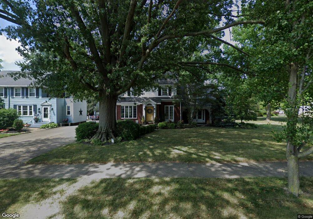
529 Vincent Blvd Alliance, OH 44601
Estimated Value: $272,077 - $419,000
4
Beds
3
Baths
3,046
Sq Ft
$116/Sq Ft
Est. Value
About This Home
This home is located at 529 Vincent Blvd, Alliance, OH 44601 and is currently estimated at $352,269, approximately $115 per square foot. 529 Vincent Blvd is a home located in Stark County with nearby schools including Alliance Early Learning School, Alliance Intermediate School at Northside, and Alliance Middle School.
Ownership History
Date
Name
Owned For
Owner Type
Purchase Details
Closed on
Nov 5, 2007
Sold by
Wycoff Dominick A and Wycoff Sara L
Bought by
Hogya Edward T and Hogya Tiffany A
Current Estimated Value
Home Financials for this Owner
Home Financials are based on the most recent Mortgage that was taken out on this home.
Original Mortgage
$213,302
Interest Rate
6.38%
Mortgage Type
FHA
Purchase Details
Closed on
May 31, 1991
Create a Home Valuation Report for This Property
The Home Valuation Report is an in-depth analysis detailing your home's value as well as a comparison with similar homes in the area
Home Values in the Area
Average Home Value in this Area
Purchase History
| Date | Buyer | Sale Price | Title Company |
|---|---|---|---|
| Hogya Edward T | $215,000 | Attorney | |
| -- | $86,000 | -- |
Source: Public Records
Mortgage History
| Date | Status | Borrower | Loan Amount |
|---|---|---|---|
| Previous Owner | Hogya Edward T | $213,302 |
Source: Public Records
Tax History Compared to Growth
Tax History
| Year | Tax Paid | Tax Assessment Tax Assessment Total Assessment is a certain percentage of the fair market value that is determined by local assessors to be the total taxable value of land and additions on the property. | Land | Improvement |
|---|---|---|---|---|
| 2025 | -- | $94,510 | $12,010 | $82,500 |
| 2024 | -- | $94,510 | $12,010 | $82,500 |
| 2023 | $2,677 | $66,610 | $9,030 | $57,580 |
| 2022 | $1,347 | $66,610 | $9,030 | $57,580 |
| 2021 | $2,697 | $66,610 | $9,030 | $57,580 |
| 2020 | $2,478 | $57,160 | $7,880 | $49,280 |
| 2019 | $2,443 | $57,170 | $7,880 | $49,290 |
| 2018 | $2,455 | $57,170 | $7,880 | $49,290 |
| 2017 | $2,289 | $52,440 | $6,860 | $45,580 |
| 2016 | $2,090 | $47,500 | $6,860 | $40,640 |
| 2015 | $2,108 | $47,500 | $6,860 | $40,640 |
| 2014 | $1,928 | $41,350 | $5,990 | $35,360 |
| 2013 | $962 | $41,350 | $5,990 | $35,360 |
Source: Public Records
Map
Nearby Homes
- 1515 S Rockhill Ave
- 884 W College Rd
- 1321 Parkway Blvd
- 738 Kingsway St
- 203 Glamorgan St
- 1475 Chatauqua Ct
- 970 Kingsway St
- 112 E College St
- 896 Parkway Blvd
- 1038 Fairview Place
- 807 S Union Ave
- 734 Parkway Blvd
- 645 W Summit St
- 140 W Summit St
- 725 W Summit St
- 1437 S Linden Ave
- 1201 Overlook Dr
- 390 E College St
- 317 E State St
- 1175 S Freedom Ave
- 543 Vincent Blvd
- 1485 Inwood Rd
- 553 Vincent Blvd
- 1482 Robinwood Rd
- 1478 Robinwood Rd
- 601 Vincent Blvd
- 562 Vincent Blvd
- 1457 Inwood Rd
- 1483 Robinwood Rd
- 602 Vincent Blvd
- 1444 Robinwood Rd
- 443 Vincent St
- 443 Vincent St
- 1469 Robinwood Rd
- 1445 Inwood Rd
- 631 Vincent Blvd
- 618 Vincent Blvd
- 1457 Robinwood Rd
- 1435 Inwood Rd
- 1460 Inwood Rd