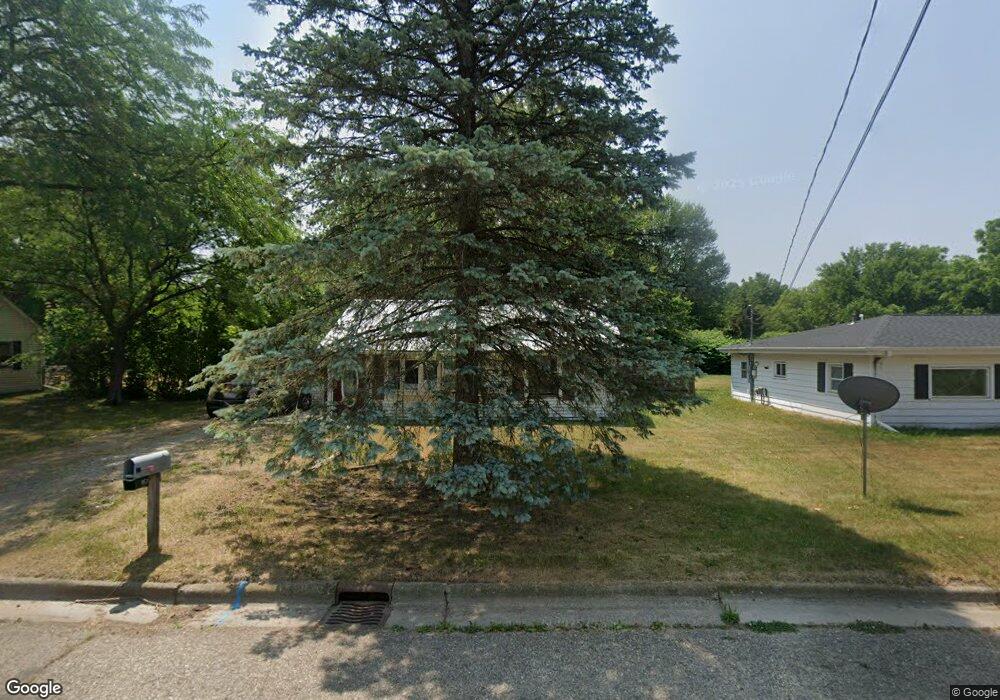
529 W 3rd St Charlotte, MI 48813
Estimated Value: $119,117 - $159,000
2
Beds
1
Bath
960
Sq Ft
$151/Sq Ft
Est. Value
About This Home
This home is located at 529 W 3rd St, Charlotte, MI 48813 and is currently estimated at $144,529, approximately $150 per square foot. 529 W 3rd St is a home located in Eaton County with nearby schools including Parkview Elementary School, Charlotte Upper Elementary School, and Charlotte Middle School.
Ownership History
Date
Name
Owned For
Owner Type
Purchase Details
Closed on
Jun 25, 2012
Sold by
Freeman Roger D and Freeman Kelly J
Bought by
Roger D Freeman & Kelly J Freeman Living
Current Estimated Value
Purchase Details
Closed on
Dec 23, 2011
Sold by
Nelson Scott
Bought by
Freeman Roger D and Freeman Kelly J
Purchase Details
Closed on
Dec 23, 2005
Sold by
Mahoney Dan and Mahoney Deena
Bought by
Nelson Scott
Home Financials for this Owner
Home Financials are based on the most recent Mortgage that was taken out on this home.
Original Mortgage
$81,900
Interest Rate
8.6%
Mortgage Type
Fannie Mae Freddie Mac
Purchase Details
Closed on
Jul 14, 2005
Sold by
Mahoney Dan and Mahoney Deena
Bought by
Citibank Na
Create a Home Valuation Report for This Property
The Home Valuation Report is an in-depth analysis detailing your home's value as well as a comparison with similar homes in the area
Home Values in the Area
Average Home Value in this Area
Purchase History
| Date | Buyer | Sale Price | Title Company |
|---|---|---|---|
| Roger D Freeman & Kelly J Freeman Living | -- | None Available | |
| Freeman Roger D | $7,300 | Midstate Title Agency Llc | |
| Nelson Scott | $91,000 | Titlequest | |
| Citibank Na | $62,175 | -- |
Source: Public Records
Mortgage History
| Date | Status | Borrower | Loan Amount |
|---|---|---|---|
| Previous Owner | Nelson Scott | $81,900 |
Source: Public Records
Tax History
| Year | Tax Paid | Tax Assessment Tax Assessment Total Assessment is a certain percentage of the fair market value that is determined by local assessors to be the total taxable value of land and additions on the property. | Land | Improvement |
|---|---|---|---|---|
| 2025 | $2,075 | $45,900 | $0 | $0 |
| 2024 | $1,464 | $42,200 | $0 | $0 |
| 2023 | $1,395 | $40,700 | $0 | $0 |
| 2022 | $1,166 | $40,800 | $0 | $0 |
| 2021 | $1,538 | $30,700 | $0 | $0 |
| 2020 | $1,433 | $28,600 | $0 | $0 |
| 2019 | $1,409 | $25,687 | $0 | $0 |
| 2018 | $1,374 | $24,896 | $0 | $0 |
| 2017 | $1,340 | $21,950 | $0 | $0 |
| 2016 | -- | $22,058 | $0 | $0 |
| 2015 | -- | $22,018 | $0 | $0 |
| 2014 | -- | $20,877 | $0 | $0 |
| 2013 | -- | $22,626 | $0 | $0 |
Source: Public Records
Map
Nearby Homes
- 1150 Porter Dr
- 1168 Emerald Dr
- 757 W Shepherd St
- 715 S Cochran Ave
- 122 E Shaw St
- 513 Mikesell St
- 745 Cherry St
- 293 Vansickle Dr Unit 18
- 302 Vansickle Dr Unit 35
- 138 Pearl St
- 237 S Oliver St
- 218 S Oliver St
- 809 Warren Ave
- 323 Johnson St
- 0 Pinebluff Dr Parcel O Unit 258041
- 327 E Lawrence Ave
- 528 Foote St
- 429 N Clinton St
- 429 Sumpter St
- 602 High St
Your Personal Tour Guide
Ask me questions while you tour the home.