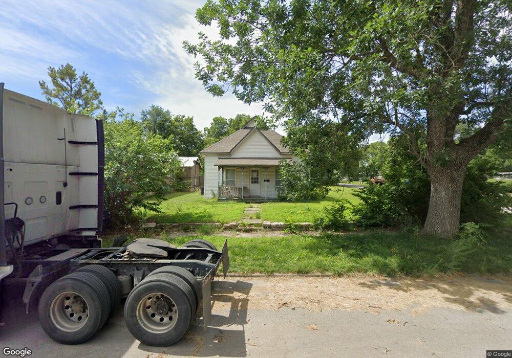
529 W 7th St Newkirk, OK 74647
Estimated Value: $72,000 - $103,000
2
Beds
2
Baths
2,246
Sq Ft
$38/Sq Ft
Est. Value
About This Home
This home is located at 529 W 7th St, Newkirk, OK 74647 and is currently estimated at $84,803, approximately $37 per square foot. 529 W 7th St is a home located in Kay County with nearby schools including Newkirk Elementary School, Newkirk Middle School, and Newkirk High School.
Ownership History
Date
Name
Owned For
Owner Type
Purchase Details
Closed on
Aug 16, 2024
Sold by
Hobbs Emily R and Hobbs Brian
Bought by
Decatur Properties Llc
Current Estimated Value
Purchase Details
Closed on
Jan 7, 2004
Sold by
Charles Linda L and Charles Mercer
Bought by
Wood Glenn D and Wood Cinda S
Purchase Details
Closed on
Dec 26, 2001
Sold by
Linda Mercer and Linda Ripper P
Bought by
Linda Mercer
Purchase Details
Closed on
Sep 25, 2001
Sold by
Lucille Hand G
Bought by
Linda Mercer and Linda Ripper P
Purchase Details
Closed on
Aug 28, 1997
Sold by
Lucille Wm and Lucille Hand G
Bought by
Le-G Lucille Hand
Create a Home Valuation Report for This Property
The Home Valuation Report is an in-depth analysis detailing your home's value as well as a comparison with similar homes in the area
Home Values in the Area
Average Home Value in this Area
Purchase History
| Date | Buyer | Sale Price | Title Company |
|---|---|---|---|
| Decatur Properties Llc | -- | None Listed On Document | |
| Wood Glenn D | $13,000 | -- | |
| -- | -- | -- | |
| Linda Mercer | -- | -- | |
| Linda Mercer | $21,500 | -- | |
| Lucille Hand G | -- | -- | |
| Lucille Hand G | -- | -- | |
| Lucille Hand G | -- | -- | |
| Le-G Lucille Hand | -- | -- |
Source: Public Records
Tax History Compared to Growth
Tax History
| Year | Tax Paid | Tax Assessment Tax Assessment Total Assessment is a certain percentage of the fair market value that is determined by local assessors to be the total taxable value of land and additions on the property. | Land | Improvement |
|---|---|---|---|---|
| 2024 | $697 | $6,921 | $704 | $6,217 |
| 2023 | $697 | $6,592 | $704 | $5,888 |
| 2022 | $628 | $6,278 | $704 | $5,574 |
| 2021 | $606 | $6,278 | $704 | $5,574 |
| 2020 | $626 | $6,278 | $704 | $5,574 |
| 2019 | $593 | $6,032 | $704 | $5,328 |
| 2018 | $580 | $6,032 | $704 | $5,328 |
| 2017 | $541 | $5,648 | $704 | $4,944 |
| 2016 | $511 | $5,648 | $704 | $4,944 |
| 2015 | $563 | $5,469 | $704 | $4,765 |
| 2014 | $545 | $5,423 | $704 | $4,719 |
Source: Public Records
Map
Nearby Homes
- 201 S Magnolia Ave
- 315 S Magnolia Ave
- 406 N Magnolia Ave
- 126 S Main St
- 308 S Elm Ave
- 614 N Maple Ave
- 200 N N Ave
- 00 E Adobe Rd
- 000 N East Longwood Dr
- 0000 E Kildare Rd
- 0 W Bender Rd
- N N East Longwood Dr
- 2 miles West Peckham Rd
- 0001 W Peckham Rd
- 0000 W Peckham Rd
- 0000 E Tower Rd Tr 2
- 0000 E Tower Rd Tr 3
- 0000 Hwy 77 Tr 1
- 0000 E Tower Rd
- 3 Jade Ave Unit LAKE FRONT