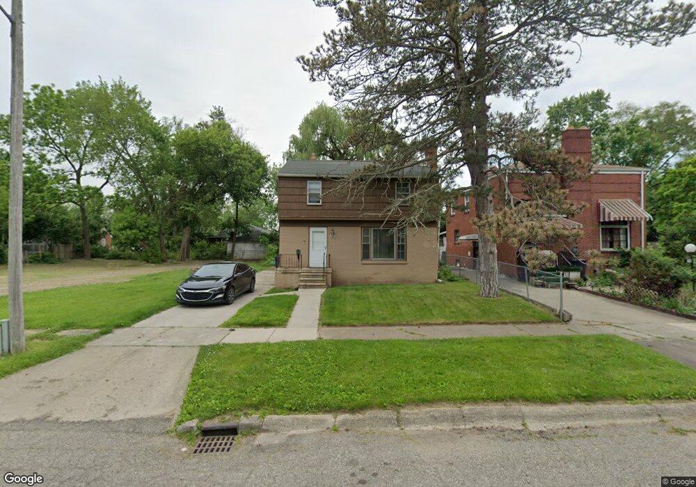
529 W Jamieson St Flint, MI 48505
King Avenue Plus NeighborhoodEstimated Value: $44,000 - $57,000
3
Beds
2
Baths
1,209
Sq Ft
$40/Sq Ft
Est. Value
About This Home
This home is located at 529 W Jamieson St, Flint, MI 48505 and is currently estimated at $48,361, approximately $40 per square foot. 529 W Jamieson St is a home located in Genesee County with nearby schools including Brownell STEM Academy, The New Standard Academy, and Greater Heights Academy.
Ownership History
Date
Name
Owned For
Owner Type
Purchase Details
Closed on
May 10, 2025
Sold by
Walker Tyvon Xavier
Bought by
Walker Terrell Quantez
Current Estimated Value
Purchase Details
Closed on
Dec 20, 2015
Sold by
Beasley Joan
Bought by
Walker Tyvon Xavier
Purchase Details
Closed on
Aug 27, 2014
Sold by
Williams Matthew Allen
Bought by
Beasley Joan
Purchase Details
Closed on
Jan 10, 2001
Sold by
Williams Roger Allen
Bought by
Williams Roger Allen and Williams Terrance M
Create a Home Valuation Report for This Property
The Home Valuation Report is an in-depth analysis detailing your home's value as well as a comparison with similar homes in the area
Home Values in the Area
Average Home Value in this Area
Purchase History
| Date | Buyer | Sale Price | Title Company |
|---|---|---|---|
| Walker Terrell Quantez | -- | None Listed On Document | |
| Walker Tyvon Xavier | -- | Attorney | |
| Beasley Joan | -- | None Available | |
| Beasley Joan | -- | None Available | |
| Beasley Joan | -- | None Available | |
| Williams Roger Allen | -- | Philip F Greco Title Company |
Source: Public Records
Tax History Compared to Growth
Tax History
| Year | Tax Paid | Tax Assessment Tax Assessment Total Assessment is a certain percentage of the fair market value that is determined by local assessors to be the total taxable value of land and additions on the property. | Land | Improvement |
|---|---|---|---|---|
| 2025 | $789 | $14,000 | $0 | $0 |
| 2024 | $738 | $9,600 | $0 | $0 |
| 2023 | $768 | $8,700 | $0 | $0 |
| 2022 | $0 | $7,300 | $0 | $0 |
| 2021 | $775 | $7,000 | $0 | $0 |
| 2020 | $871 | $9,200 | $0 | $0 |
| 2019 | $921 | $10,100 | $0 | $0 |
| 2018 | $968 | $10,700 | $0 | $0 |
| 2017 | $958 | $0 | $0 | $0 |
| 2016 | $958 | $0 | $0 | $0 |
| 2015 | -- | $0 | $0 | $0 |
| 2014 | -- | $0 | $0 | $0 |
| 2012 | -- | $13,300 | $0 | $0 |
Source: Public Records
Map
Nearby Homes
- 409 W Genesee St
- 3002 N Chevrolet Ave
- 325 W Dewey St
- 311 W Genesee St
- 2718 N Chevrolet Ave
- 3418 Keyes St
- 200 W Mcclellan St
- 2913
- 2913 Martin Luther King Ave
- 3513 Milbourne Ave
- 1209 W Mcclellan St
- 1101 W Rankin St
- 115 W Baker St
- 506 Green St
- 3802 Milbourne Ave
- 1402 W Dartmouth St
- 2245 Milbourne Ave
- 3506 Esther St
- 218 E Jackson Ave
- 4006 Donnelly St
- 601 W Jamieson St
- 521 W Jamieson St
- 530 W Mcclellan St
- 526 W Mcclellan St
- 611 W Jamieson St
- 602 W Mcclellan St
- 513 W Jamieson St
- 522 W Mcclellan St
- 606 W Mcclellan St
- 530 W Jamieson St
- 522 W Jamieson St
- 606 W Jamieson St
- 610 W Mcclellan St
- 610 W Jamieson St
- 514 W Jamieson St
- 3120 Dupont St
- 3112 Dupont St
- 3119 Iroquois Ave
- 3113 Iroquois Ave
- 3107 Iroquois Ave