529 Woodside Ln Branchburg, NJ 08876
Branchburg Township NeighborhoodEstimated Value: $777,321 - $852,000
--
Bed
--
Bath
2,120
Sq Ft
$382/Sq Ft
Est. Value
About This Home
This home is located at 529 Woodside Ln, Branchburg, NJ 08876 and is currently estimated at $810,580, approximately $382 per square foot. 529 Woodside Ln is a home located in Somerset County with nearby schools including Whiton Elementary School, Stony Brook School, and Branchburg Central Middle School.
Ownership History
Date
Name
Owned For
Owner Type
Purchase Details
Closed on
Aug 31, 2000
Sold by
Smith Arthur
Bought by
Hampton Nolan and Arsenault Aileen
Current Estimated Value
Home Financials for this Owner
Home Financials are based on the most recent Mortgage that was taken out on this home.
Original Mortgage
$240,000
Outstanding Balance
$87,843
Interest Rate
8.16%
Estimated Equity
$722,737
Purchase Details
Closed on
Aug 24, 1995
Sold by
Tabel William
Bought by
Smith Arthur and Smith Lori
Home Financials for this Owner
Home Financials are based on the most recent Mortgage that was taken out on this home.
Original Mortgage
$242,000
Interest Rate
7.81%
Purchase Details
Closed on
Mar 11, 1993
Sold by
Fallone Development Corp
Bought by
Hingston Deborah J
Create a Home Valuation Report for This Property
The Home Valuation Report is an in-depth analysis detailing your home's value as well as a comparison with similar homes in the area
Home Values in the Area
Average Home Value in this Area
Purchase History
| Date | Buyer | Sale Price | Title Company |
|---|---|---|---|
| Hampton Nolan | $365,500 | -- | |
| Smith Arthur | $254,500 | -- | |
| Hingston Deborah J | $238,900 | -- | |
| Fallone Development Corp | -- | -- |
Source: Public Records
Mortgage History
| Date | Status | Borrower | Loan Amount |
|---|---|---|---|
| Open | Hampton Nolan | $240,000 | |
| Previous Owner | Smith Arthur | $242,000 |
Source: Public Records
Tax History Compared to Growth
Tax History
| Year | Tax Paid | Tax Assessment Tax Assessment Total Assessment is a certain percentage of the fair market value that is determined by local assessors to be the total taxable value of land and additions on the property. | Land | Improvement |
|---|---|---|---|---|
| 2025 | $10,826 | $670,900 | $151,300 | $519,600 |
| 2024 | $10,826 | $600,100 | $151,300 | $448,800 |
| 2023 | $10,350 | $553,200 | $151,300 | $401,900 |
| 2022 | $10,270 | $521,600 | $148,300 | $373,300 |
| 2021 | $10,304 | $487,400 | $148,300 | $339,100 |
| 2020 | $10,271 | $479,300 | $148,300 | $331,000 |
| 2019 | $10,282 | $477,100 | $148,300 | $328,800 |
| 2018 | $10,271 | $475,300 | $142,300 | $333,000 |
| 2017 | $10,219 | $469,600 | $142,300 | $327,300 |
| 2016 | $10,065 | $459,600 | $132,300 | $327,300 |
| 2015 | $9,785 | $447,600 | $120,300 | $327,300 |
| 2014 | $9,647 | $446,600 | $115,300 | $331,300 |
Source: Public Records
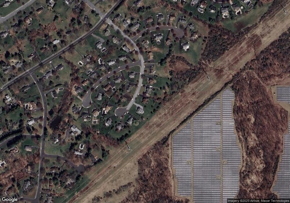
Map
Nearby Homes
- 720 Colonial Ct
- 713 Colonial Ct
- 93 Windy Willow Way
- 31 S Davenport St
- 46 Strawberry Hill Rd
- 9 Weavers Ln
- 203 Red Crest Ln
- 511 Red Crest Ln
- 2 Carlisle Rd
- 1601 Breckenridge Dr
- 1053 Hillcrest Dr
- 27 Fremont St
- 107 Readington Rd
- 126 Carriage Hill Way
- 23 Buffalo Hollow Rd
- 15 Campbell Ct
- 6 Heritage Ct
- 317 Old York Rd
- 5 Walnut Dr
- 21 Cheyenne Trail
- 525 Woodside Ln
- 533 Woodside Ln
- 521 Woodside Ln
- 528 Woodside Ln
- 537 Woodside Ln
- 601 Christian Ln
- 517 Woodside Ln
- 605 Christian Ln
- 536 Woodside Ln
- 541 Woodside Ln
- 609 Christian Ln
- 513 Woodside Ln
- 540 Woodside Ln
- 600 Christian Ln
- 613 Christian Ln
- 604 Christian Ln
- 510 Woodside Ln
- 617 Christian Ln
- 608 Christian Ln
- 509 Woodside Ln