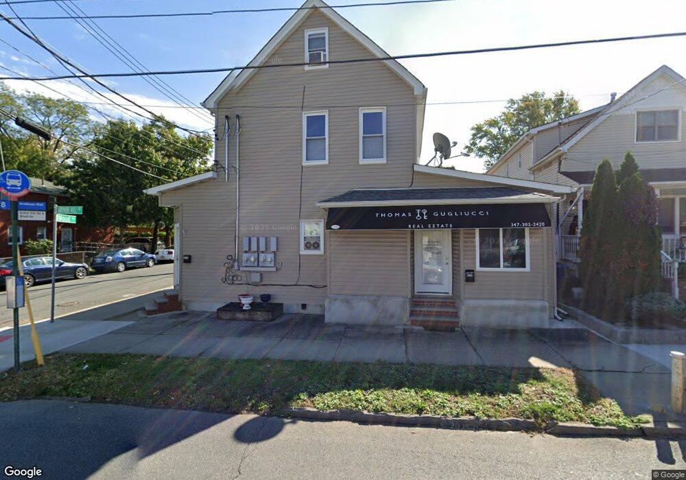
5290 Arthur Kill Rd Staten Island, NY 10307
Tottenville NeighborhoodEstimated Value: $543,000 - $827,000
--
Bed
--
Bath
1,440
Sq Ft
$470/Sq Ft
Est. Value
About This Home
This home is located at 5290 Arthur Kill Rd, Staten Island, NY 10307 and is currently estimated at $676,376, approximately $469 per square foot. 5290 Arthur Kill Rd is a home located in Richmond County with nearby schools including P.S. 1 Tottenville, Is 34 Tottenville, and Tottenville High School.
Ownership History
Date
Name
Owned For
Owner Type
Purchase Details
Closed on
Jun 4, 2014
Sold by
Sicari Frank and Sicari Phyllis
Bought by
Anzalone Rudy
Current Estimated Value
Home Financials for this Owner
Home Financials are based on the most recent Mortgage that was taken out on this home.
Original Mortgage
$346,458
Outstanding Balance
$258,990
Interest Rate
3.75%
Mortgage Type
FHA
Estimated Equity
$417,386
Purchase Details
Closed on
Jul 23, 1998
Sold by
Quinn Louise and Quinn John
Bought by
Sicari Frank and Sicari Phyllis
Create a Home Valuation Report for This Property
The Home Valuation Report is an in-depth analysis detailing your home's value as well as a comparison with similar homes in the area
Home Values in the Area
Average Home Value in this Area
Purchase History
| Date | Buyer | Sale Price | Title Company |
|---|---|---|---|
| Anzalone Rudy | $353,000 | Fidelity Natl Title Ins Co | |
| Sicari Frank | $155,000 | Old Republic Natl Title Ins |
Source: Public Records
Mortgage History
| Date | Status | Borrower | Loan Amount |
|---|---|---|---|
| Open | Anzalone Rudy | $346,458 |
Source: Public Records
Tax History Compared to Growth
Tax History
| Year | Tax Paid | Tax Assessment Tax Assessment Total Assessment is a certain percentage of the fair market value that is determined by local assessors to be the total taxable value of land and additions on the property. | Land | Improvement |
|---|---|---|---|---|
| 2025 | $4,398 | $43,260 | $6,336 | $36,924 |
| 2024 | $4,398 | $40,380 | $6,735 | $33,645 |
| 2023 | $4,196 | $20,659 | $6,127 | $14,532 |
| 2022 | $3,891 | $38,880 | $12,420 | $26,460 |
| 2021 | $3,870 | $37,620 | $12,420 | $25,200 |
| 2020 | $3,978 | $34,380 | $12,420 | $21,960 |
| 2019 | $3,902 | $30,120 | $12,420 | $17,700 |
| 2018 | $3,509 | $17,216 | $8,405 | $8,811 |
| 2017 | $3,311 | $16,243 | $7,967 | $8,276 |
| 2016 | $3,064 | $15,326 | $8,052 | $7,274 |
| 2015 | $2,918 | $15,326 | $6,457 | $8,869 |
| 2014 | $2,918 | $15,207 | $7,560 | $7,647 |
Source: Public Records
Map
Nearby Homes
- 5300 Arthur Kill Rd
- 5265 Arthur Kill Rd
- 397 Ellis St
- 132 Fisher Ave
- 110 Yetman Ave
- 112 Johnson Ave
- 5396 Arthur Kill Rd
- 197 Craig Ave
- 200 Barnard Ave
- 217-219 Fisher Ave
- 236 Lee Ave
- 237 Lee Ave
- 140 Craig Ave
- 233 Fisher Ave
- 69 Nashville St
- 5463 Arthur Kill Rd Unit 5465
- 5463-5465 Arthur Kill Rd
- 5475 Arthur Kill Rd Unit C
- 7247 Amboy Rd
- 7036 Amboy Rd
- 5288-5290 Arthur Kill Rd
- 5288 Arthur Kill Rd
- 5294 Arthur Kill Rd
- 110 Wood Ave
- 5282 Arthur Kill Rd
- 114 Wood Ave
- 107 Lee Ave
- 9-11 Wood Ln
- 4 Wood Ln
- 5297 Arthur Kill Rd
- 109 Lee Ave
- 5295-5297 Arthur Kill Rd
- 5295 Arthur Kill Rd Unit 5297
- 5295 Arthur Kill Rd Unit 2
- 5295 Arthur Kill Rd Unit 1
- 5278 Arthur Kill Rd
- 122 Wood Ave
- 5301 Arthur Kill Rd
- 5285 Arthur Kill Rd
- 111 Wood Ave