5290 Brooks Rd Broxton, GA 31519
Estimated Value: $326,000 - $419,000
5
Beds
3
Baths
3,561
Sq Ft
$105/Sq Ft
Est. Value
About This Home
This home is located at 5290 Brooks Rd, Broxton, GA 31519 and is currently estimated at $374,370, approximately $105 per square foot. 5290 Brooks Rd is a home located in Coffee County with nearby schools including Broxton-Mary Hayes Elementary School, Coffee Middle School, and Coffee County High School.
Ownership History
Date
Name
Owned For
Owner Type
Purchase Details
Closed on
May 21, 2014
Sold by
Merritt Selena G
Bought by
Merritt Selena G and Merritt William B
Current Estimated Value
Home Financials for this Owner
Home Financials are based on the most recent Mortgage that was taken out on this home.
Original Mortgage
$117,750
Outstanding Balance
$33,953
Interest Rate
4.37%
Mortgage Type
New Conventional
Estimated Equity
$340,417
Purchase Details
Closed on
May 8, 2014
Sold by
Merritt William B
Bought by
Merritt Selena G
Home Financials for this Owner
Home Financials are based on the most recent Mortgage that was taken out on this home.
Original Mortgage
$117,750
Outstanding Balance
$33,953
Interest Rate
4.37%
Mortgage Type
New Conventional
Estimated Equity
$340,417
Create a Home Valuation Report for This Property
The Home Valuation Report is an in-depth analysis detailing your home's value as well as a comparison with similar homes in the area
Purchase History
| Date | Buyer | Sale Price | Title Company |
|---|---|---|---|
| Merritt Selena G | -- | -- | |
| Merritt Selena G | -- | -- |
Source: Public Records
Mortgage History
| Date | Status | Borrower | Loan Amount |
|---|---|---|---|
| Open | Merritt Selena G | $117,750 |
Source: Public Records
Tax History
| Year | Tax Paid | Tax Assessment Tax Assessment Total Assessment is a certain percentage of the fair market value that is determined by local assessors to be the total taxable value of land and additions on the property. | Land | Improvement |
|---|---|---|---|---|
| 2025 | $1,992 | $92,313 | $3,229 | $89,084 |
| 2024 | $1,983 | $92,313 | $3,229 | $89,084 |
| 2023 | $1,602 | $92,313 | $3,229 | $89,084 |
| 2022 | $2,192 | $92,313 | $3,229 | $89,084 |
| 2021 | $2,192 | $92,313 | $3,229 | $89,084 |
| 2020 | $2,193 | $92,313 | $3,229 | $89,084 |
| 2019 | $2,193 | $92,313 | $3,229 | $89,084 |
| 2018 | $2,194 | $92,313 | $3,229 | $89,084 |
| 2016 | $2,204 | $92,313 | $3,229 | $89,084 |
| 2015 | $2,215 | $92,313 | $3,229 | $89,084 |
| 2014 | $2,226 | $92,313 | $3,229 | $89,084 |
Source: Public Records
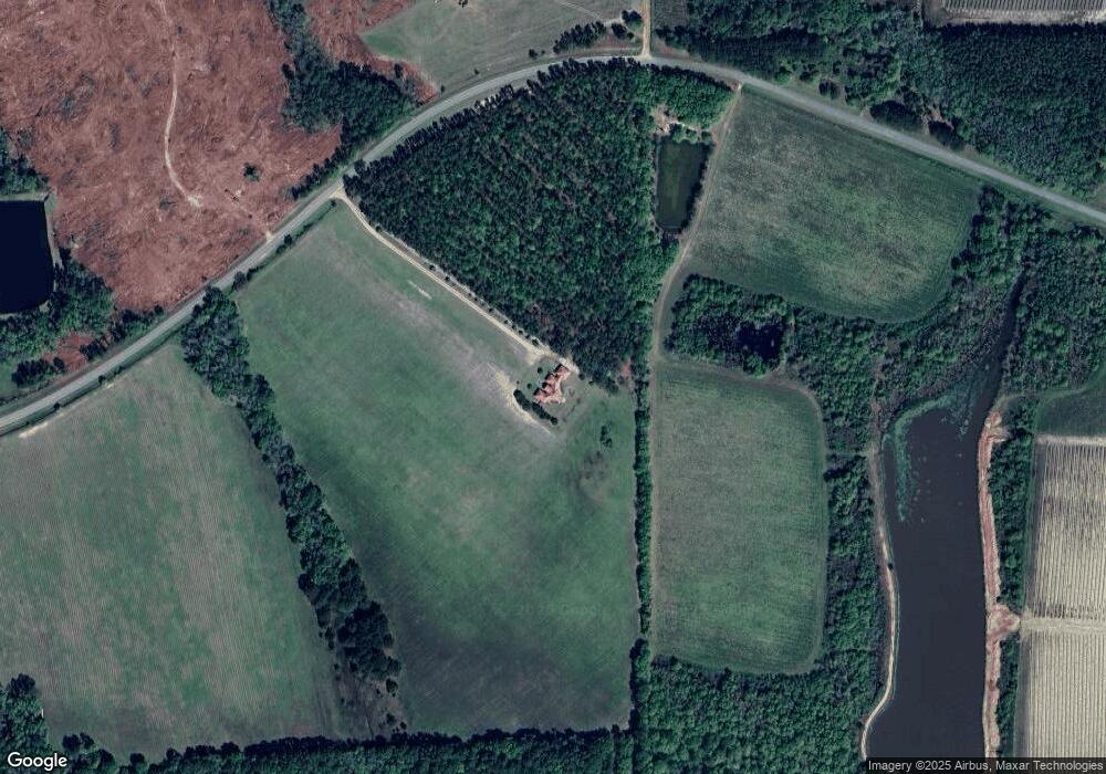
Map
Nearby Homes
- 699 Twin Lakes Dr
- 0 Georgia 107
- 7468 George Deen Rd
- 6415 George Deen Rd
- 448 Archie Miller Rd
- 5495 Cross Rd
- 906 Alabama St N
- 2048 Somerset
- 83 Will Smith Rd
- 4653 Douglas Braxton Hwy
- 744 Lotts Crossing
- 570 Knollwood Rd
- 2002 Apache Trail
- 1832 Douglas Hwy
- 310 Leyland Dr
- 123 Leyland Dr
- 73 Bay Dr
- 161 Green Tree Dr
- 360 Wildwood Rd
- 241 Mount Galilee Church Rd
- 633 Mount Pleasant Church Rd
- 5001 Brooks Rd
- 614 Mount Pleasant Church Rd
- 2150 Sugarbrook Rd
- 241 Sandstone Way
- 2044 Sugarbrook Rd
- 2044 Sugarbrook Rd
- 604 Mount Pleasant Church Rd
- 2042 Sugarbrook Rd
- 2072 Sugarbrook Rd
- 1920 Sugarbrook Rd
- 579 Mount Pleasant Church Rd
- 532 Mount Pleasant Church Rd
- 532 Mount Pleasant Church Rd
- 1698 Sugarbrook Rd
- 4508 Brooks Rd
Your Personal Tour Guide
Ask me questions while you tour the home.