Estimated Value: $284,000 - $383,000
6
Beds
3
Baths
3,968
Sq Ft
$84/Sq Ft
Est. Value
About This Home
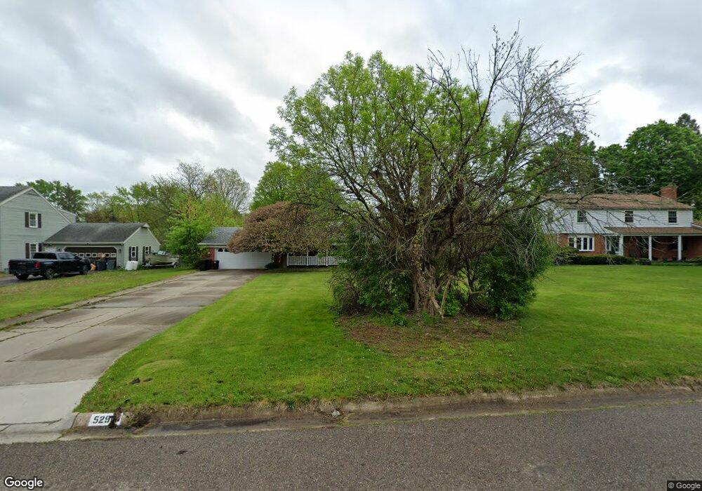
This home is located at 5290 N Dyewood Dr, Flint, MI 48532 and is currently estimated at $334,765, approximately $84 per square foot. 5290 N Dyewood Dr is a home located in Genesee County with nearby schools including Carman-Ainsworth High School, Genesee STEM Academy, and St. Paul Lutheran School.
Ownership History
Date
Name
Owned For
Owner Type
Purchase Details
Closed on
Apr 12, 2023
Sold by
Jpmorgan Chase Bank Na
Bought by
Dill James
Current Estimated Value
Purchase Details
Closed on
Dec 7, 2007
Sold by
Michael Anthony G and Michael Carol A
Bought by
Dill James
Home Financials for this Owner
Home Financials are based on the most recent Mortgage that was taken out on this home.
Original Mortgage
$161,500
Interest Rate
6.33%
Mortgage Type
Purchase Money Mortgage
Create a Home Valuation Report for This Property
The Home Valuation Report is an in-depth analysis detailing your home's value as well as a comparison with similar homes in the area
Home Values in the Area
Average Home Value in this Area
Purchase History
| Date | Buyer | Sale Price | Title Company |
|---|---|---|---|
| Dill James | -- | None Listed On Document | |
| Dill James | $170,000 | Cislo Title Co |
Source: Public Records
Mortgage History
| Date | Status | Borrower | Loan Amount |
|---|---|---|---|
| Previous Owner | Dill James | $161,500 |
Source: Public Records
Tax History Compared to Growth
Tax History
| Year | Tax Paid | Tax Assessment Tax Assessment Total Assessment is a certain percentage of the fair market value that is determined by local assessors to be the total taxable value of land and additions on the property. | Land | Improvement |
|---|---|---|---|---|
| 2025 | $10,557 | $175,100 | $0 | $0 |
| 2024 | $7,296 | $164,700 | $0 | $0 |
| 2023 | $4,114 | $156,500 | $0 | $0 |
| 2022 | $2,106 | $127,100 | $0 | $0 |
| 2021 | $2,064 | $111,500 | $0 | $0 |
| 2020 | $1,705 | $105,000 | $0 | $0 |
| 2019 | $1,681 | $91,600 | $0 | $0 |
| 2018 | $4,518 | $83,300 | $0 | $0 |
| 2017 | $4,811 | $83,300 | $0 | $0 |
| 2016 | $4,207 | $75,900 | $0 | $0 |
| 2015 | $2,823 | $71,300 | $0 | $0 |
| 2014 | $1,682 | $71,300 | $0 | $0 |
| 2012 | -- | $69,500 | $69,500 | $0 |
Source: Public Records
Map
Nearby Homes
- 5325 N Dyewood Dr
- 5345 Birchtree Ct
- 5297 Oaktree Dr
- 1460 S Dye Rd
- 1417 Grassmere Ave
- 0000 Reuben Reuben St
- 3.9 Acres W Court St
- 1442 Mintola Ave
- 2 Charter Dr
- oo Walnut Creek Dr
- 1192 Citation Dr
- 1184 Citation Dr
- 00 Graham St
- 6090 Lancaster Dr
- 1194 Woodkrest Dr
- 0 Charter Dr Unit 50153638
- Integrity 1880 Plan at Country Ridge of Flint
- 6142 Noel Dr
- 0 Country Ridge Trail
- 1193 Normandy Terrace Dr
- 5300 N Dyewood Dr
- 5280 N Dyewood Dr
- 5310 N Dyewood Dr
- 5289 N Dyewood Dr
- 5299 N Dyewood Dr
- 5279 N Dyewood Dr
- 5320 N Dyewood Dr
- 5311 N Dyewood Dr
- 5281 S Dyewood Dr
- 5278 S Dyewood Dr
- 5326 Butternut Tree Ct
- 5291 S Dyewood Dr
- 1147 S Dye Rd
- 1161 S Dye Rd
- 5288 S Dyewood Dr
- 1205 S Dye Rd
- 5339 N Dyewood Dr
- 5330 Butternut Tree Ct
- 5301 S Dyewood Dr
- 1229 S Dye Rd