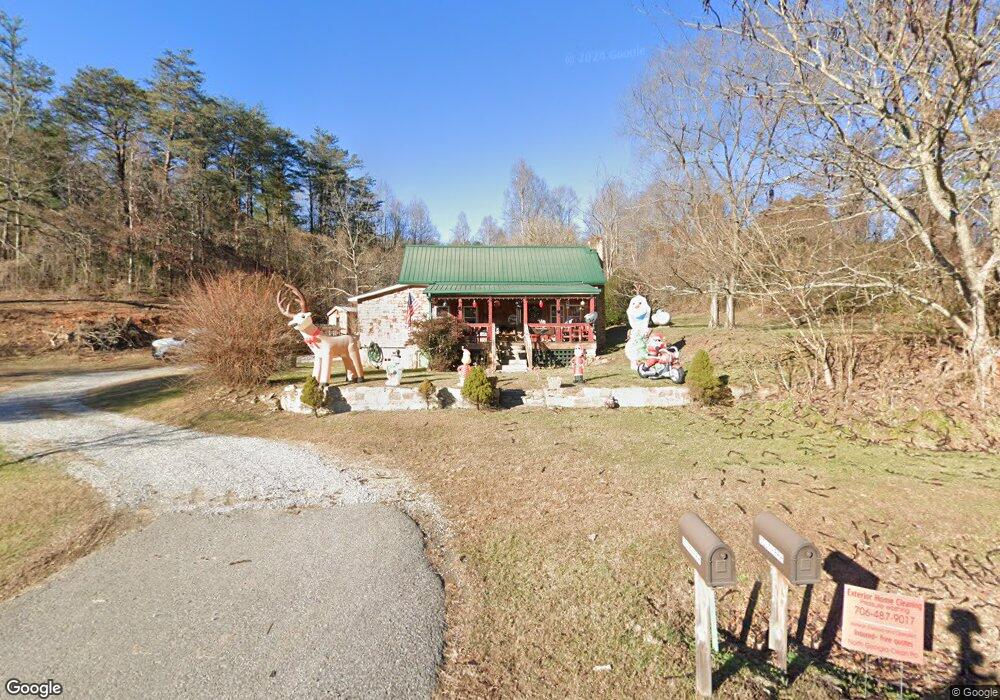
5290 Owltown Rd Blairsville, GA 30512
Estimated Value: $212,545 - $311,000
2
Beds
1
Bath
1,008
Sq Ft
$269/Sq Ft
Est. Value
About This Home
This home is located at 5290 Owltown Rd, Blairsville, GA 30512 and is currently estimated at $271,136, approximately $268 per square foot. 5290 Owltown Rd is a home located in Union County with nearby schools including Union County Primary School, Union County Elementary School, and Union County Middle School.
Ownership History
Date
Name
Owned For
Owner Type
Purchase Details
Closed on
Oct 16, 2023
Sold by
Fortenberry Randy
Bought by
Allen Carl
Current Estimated Value
Purchase Details
Closed on
Nov 9, 2012
Sold by
Fortenberry Randy
Bought by
Allen Carl
Purchase Details
Closed on
Nov 5, 2002
Sold by
Fortenberry Jimmy Le
Bought by
Fortenberry Randy
Purchase Details
Closed on
Aug 8, 1994
Bought by
Fortenberry Jimmy Le
Create a Home Valuation Report for This Property
The Home Valuation Report is an in-depth analysis detailing your home's value as well as a comparison with similar homes in the area
Home Values in the Area
Average Home Value in this Area
Purchase History
| Date | Buyer | Sale Price | Title Company |
|---|---|---|---|
| Allen Carl | -- | -- | |
| Allen Carl | $12,500 | -- | |
| Fortenberry Randy | $60,000 | -- | |
| Fortenberry Jimmy Le | -- | -- |
Source: Public Records
Tax History Compared to Growth
Tax History
| Year | Tax Paid | Tax Assessment Tax Assessment Total Assessment is a certain percentage of the fair market value that is determined by local assessors to be the total taxable value of land and additions on the property. | Land | Improvement |
|---|---|---|---|---|
| 2024 | $663 | $56,172 | $11,000 | $45,172 |
| 2023 | $845 | $63,492 | $18,360 | $45,132 |
| 2022 | $696 | $52,292 | $17,000 | $35,292 |
| 2021 | $709 | $44,972 | $17,000 | $27,972 |
| 2020 | $441 | $23,308 | $14,678 | $8,630 |
| 2019 | $417 | $23,308 | $14,678 | $8,630 |
| 2018 | $409 | $23,308 | $14,678 | $8,630 |
| 2017 | $409 | $23,308 | $14,678 | $8,630 |
| 2016 | $410 | $23,308 | $14,678 | $8,630 |
| 2015 | $413 | $23,308 | $14,678 | $8,630 |
| 2013 | -- | $23,307 | $14,678 | $8,629 |
Source: Public Records
Map
Nearby Homes
- 199 Oak Ridge Dr
- 199 Oak Ridge Dr
- 180 Laurel Ridge Rd
- 457 Youngblood Dr
- 32 Whippoorwill Way
- 6205 Owltown Rd
- LT 119 Highland Park
- Lot 18 Highland Crossing
- Lot 31 Highland Forge Ln
- LOT 103 Highland Park
- 170 High Vista
- 389 Fort Mountain Rd
- Lot 74 Mine Cart Trail
- 96 Mine Cart Trail
- 104 Bowers Cir
- 0 Chickasaw Ln
- 26 Forest Ln
- 273 Coosa Valley Rd
- Lot 26 Coosa Bend Dr
- 32 Fortenberry Cir
- 61 Vernons Walk
- 80 Vernons Walk
- 5359 Owltown Rd
- TR 26 Vernons Walk
- 3855 Vernons Walk
- 5478 Owltown Rd
- 5510 Owltown Rd
- 15 Rock Ridge Way
- 15 Rock Ridge Way
- 32 Fortenberry Cir
- 5202 Owltown Rd
- 58 Greiling Farm View Rd
- 259 Fortenberry Cir
- 314 Oak Ridge Dr
- 80 Greiling Farms View
- 370 Fortenberry Cir
- 246 Vernons Walk
- 222 Oak Ridge Dr
- 148 Oak Ridge Dr