5290 Scarlett Way Deming, WA 98244
Estimated Value: $712,000 - $879,000
3
Beds
4
Baths
2,762
Sq Ft
$282/Sq Ft
Est. Value
About This Home
This home is located at 5290 Scarlett Way, Deming, WA 98244 and is currently estimated at $778,913, approximately $282 per square foot. 5290 Scarlett Way is a home located in Whatcom County with nearby schools including Mount Baker Senior High School.
Ownership History
Date
Name
Owned For
Owner Type
Purchase Details
Closed on
Dec 11, 2020
Sold by
Pratt Theodore W
Bought by
Smith Ronald James and Smith Shayne Ketterer
Current Estimated Value
Home Financials for this Owner
Home Financials are based on the most recent Mortgage that was taken out on this home.
Original Mortgage
$400,000
Outstanding Balance
$356,119
Interest Rate
2.7%
Mortgage Type
New Conventional
Estimated Equity
$422,794
Purchase Details
Closed on
Jul 20, 2005
Sold by
Elliott Theodore M and Elliott Bonnie J
Bought by
Pratt Theodore W
Home Financials for this Owner
Home Financials are based on the most recent Mortgage that was taken out on this home.
Original Mortgage
$200,000
Interest Rate
5.51%
Mortgage Type
Fannie Mae Freddie Mac
Purchase Details
Closed on
Oct 17, 2001
Sold by
Webb Warner
Bought by
Elliott Family Trust
Create a Home Valuation Report for This Property
The Home Valuation Report is an in-depth analysis detailing your home's value as well as a comparison with similar homes in the area
Home Values in the Area
Average Home Value in this Area
Purchase History
| Date | Buyer | Sale Price | Title Company |
|---|---|---|---|
| Smith Ronald James | -- | Whatcom Land Title O Inc | |
| Pratt Theodore W | $337,780 | Stewart Title Company | |
| Elliott Family Trust | -- | Stewart Title Company |
Source: Public Records
Mortgage History
| Date | Status | Borrower | Loan Amount |
|---|---|---|---|
| Open | Smith Ronald James | $400,000 | |
| Previous Owner | Pratt Theodore W | $200,000 |
Source: Public Records
Tax History Compared to Growth
Tax History
| Year | Tax Paid | Tax Assessment Tax Assessment Total Assessment is a certain percentage of the fair market value that is determined by local assessors to be the total taxable value of land and additions on the property. | Land | Improvement |
|---|---|---|---|---|
| 2024 | $4,430 | $652,503 | $229,795 | $422,708 |
| 2023 | $4,430 | $601,897 | $216,455 | $385,442 |
| 2022 | $3,850 | $493,347 | $177,418 | $315,929 |
| 2021 | $3,479 | $397,856 | $143,077 | $254,779 |
| 2020 | $3,206 | $337,166 | $121,252 | $215,914 |
| 2019 | $2,865 | $297,068 | $106,832 | $190,236 |
| 2018 | $3,510 | $286,413 | $103,000 | $183,413 |
| 2017 | $3,177 | $275,918 | $97,229 | $178,689 |
| 2016 | $3,058 | $266,338 | $93,853 | $172,485 |
| 2015 | $2,822 | $254,362 | $89,633 | $164,729 |
| 2014 | -- | $239,512 | $84,400 | $155,112 |
| 2013 | -- | $239,512 | $84,400 | $155,112 |
Source: Public Records
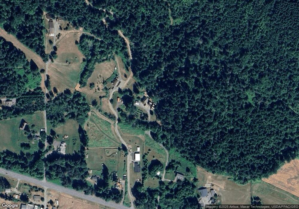
Map
Nearby Homes
- 8290 Mount Baker Hwy
- 5458 Mount Baker Hwy
- 0 Mt Baker Hwy Unit NWM2371192
- 5221 Mitchell Rd
- 7019 Mount Baker Hwy
- 5070 Deming Rd
- 4290 Mt Baker Hwy
- 3999 Deming Rd
- 0 Hoff Cir
- 5510 Mt Baker Hwy
- 5753 Lawrence Rd
- 4126 Caron Rd
- 3557 Cedarville Rd Unit 13
- 5947 Lawrence Rd
- 5860 Bell Creek Logging Rd
- 4120 Valley Hwy
- 4086 Valley Hwy
- 0 N Fork Rd
- 6260 Rutsatz Rd
- 5718 Schornbush Rd
- 5319 Salmon Ridge Ln
- 0 Lot 7 Salmon Ridge Ln
- 0 Tract 1 Salmon Ridge Ln
- 0 Lot 5 Salmon Ridge Ln
- 0 Lot 2 Salmon Ridge Ln
- 5275 Salmon Ridge Ln
- 5242 Scarlett Way
- 4750 Mt Baker Hwy
- 4730 Mt Baker Hwy
- 4702 Mount Baker Hwy
- 5372 Salmon Ridge Ln
- 4700 Mt Baker Hwy
- 4776 Mount Baker Hwy
- 0 Mt Baker Hwy Unit 1333750
- 0 Mt Baker Hwy Unit 1333749
- 0 Mt Baker Hwy Unit 1283013
- 0 Mt Baker Hwy Unit 1274810
- 0 Mt Baker Hwy Unit 971311
- 0 Mt Baker Hwy Unit 913340
- 0 Mt Baker Hwy Unit 867161