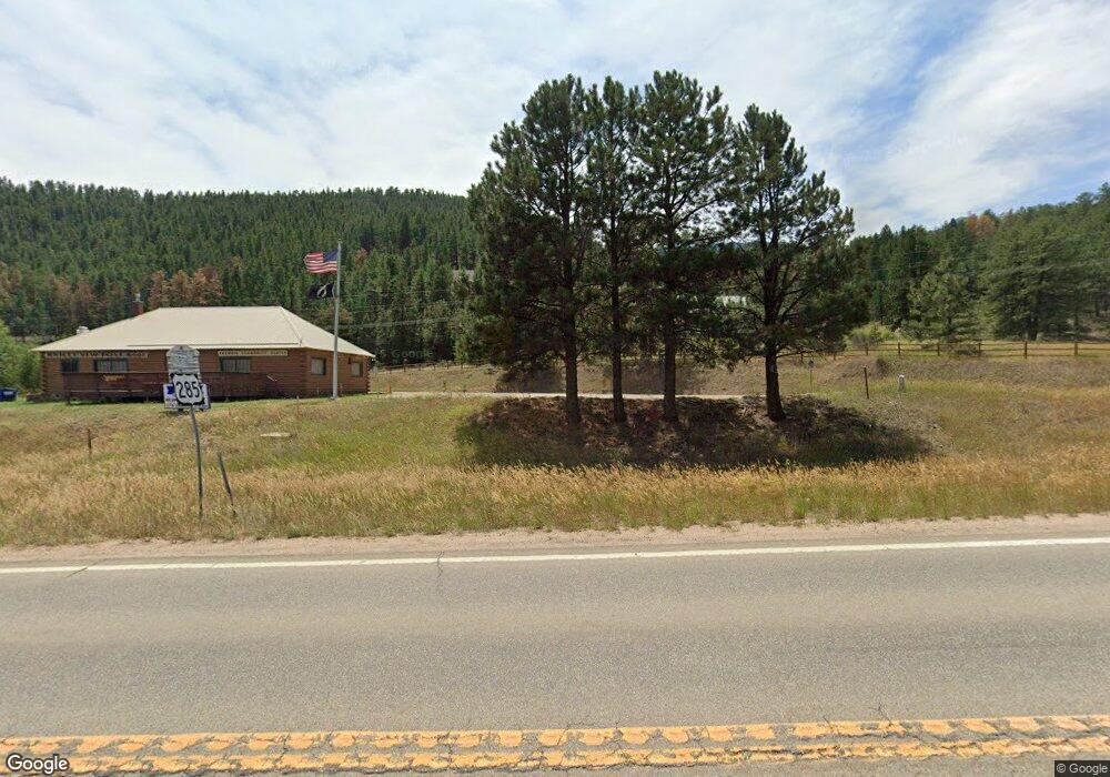
52902 Us Highway 285 Shawnee, CO 80475
Estimated Value: $637,000 - $752,003
5
Beds
2
Baths
2,240
Sq Ft
$316/Sq Ft
Est. Value
About This Home
This home is located at 52902 Us Highway 285, Shawnee, CO 80475 and is currently estimated at $707,001, approximately $315 per square foot. 52902 Us Highway 285 is a home located in Park County with nearby schools including Deer Creek Elementary School, Fitzsimmons Middle School, and Platte Canyon High School.
Ownership History
Date
Name
Owned For
Owner Type
Purchase Details
Closed on
Jun 25, 2021
Sold by
Massey Ward
Bought by
Pryor Peter W
Current Estimated Value
Purchase Details
Closed on
Jul 15, 2015
Sold by
Demaniow Angela and Demaniow Dean
Bought by
Massey Ward
Home Financials for this Owner
Home Financials are based on the most recent Mortgage that was taken out on this home.
Original Mortgage
$165,000
Interest Rate
3.37%
Mortgage Type
Adjustable Rate Mortgage/ARM
Create a Home Valuation Report for This Property
The Home Valuation Report is an in-depth analysis detailing your home's value as well as a comparison with similar homes in the area
Home Values in the Area
Average Home Value in this Area
Purchase History
| Date | Buyer | Sale Price | Title Company |
|---|---|---|---|
| Pryor Peter W | $650,000 | None Available | |
| Massey Ward | $269,450 | Fidelity National Title Insu |
Source: Public Records
Mortgage History
| Date | Status | Borrower | Loan Amount |
|---|---|---|---|
| Previous Owner | Massey Ward | $165,000 |
Source: Public Records
Tax History Compared to Growth
Tax History
| Year | Tax Paid | Tax Assessment Tax Assessment Total Assessment is a certain percentage of the fair market value that is determined by local assessors to be the total taxable value of land and additions on the property. | Land | Improvement |
|---|---|---|---|---|
| 2024 | $2,858 | $48,320 | $19,070 | $29,250 |
| 2023 | $2,858 | $48,320 | $19,070 | $29,250 |
| 2022 | $2,317 | $36,600 | $13,446 | $23,154 |
| 2021 | $2,298 | $37,650 | $13,830 | $23,820 |
| 2020 | $1,604 | $25,240 | $10,740 | $14,500 |
| 2019 | $1,582 | $25,240 | $10,740 | $14,500 |
| 2018 | $1,357 | $29,610 | $10,740 | $18,870 |
| 2017 | $1,356 | $20,980 | $10,460 | $10,520 |
| 2016 | $1,491 | $22,960 | $12,370 | $10,590 |
| 2015 | $1,504 | $22,960 | $12,370 | $10,590 |
| 2014 | $1,425 | $0 | $0 | $0 |
Source: Public Records
Map
Nearby Homes
- 156 Cline Dr W
- 248 E Cline Dr
- 220 N Fork Rd
- 56216 Us Highway 285
- 357 County Road 64
- 364 County Road 64 Unit 14
- 57920 Us Highway 285 Unit 23/24
- 57920 Us Highway 285 Unit 10
- 429
- 637 Rock Rd
- 7505 County Road 43
- 24 Timbertop Rd
- 255 Saddlestring Rd
- 193 Twilight Terrace Dr
- 1288 Royal Ridge Dr
- 278 Clark Rd
- 505 Road P69
- 990 Road P69
- 715 Clark Rd
- 68 Aspen Dr
- 52902 Us Highway 285
- 457 Bell Rd
- 471 Bell Rd
- 439 Bell Rd
- 476 Bell Rd
- 427 Bell Rd
- 62 Whiteford Rd
- 420 Bell Rd
- 0 Us Hwy 285 Unit 874304
- 0 Highway #285 Hwy Unit 1094960
- 62 Whiteford Rd
- 120 Whiteford Rd
- 407 Bell Rd
- 66 Cline Dr W
- 86 Cline Dr
- 37 Whiteford Rd
- 89 Whiteford Rd
- 11 & 112 Mountain Dr
- 11 Mountain Dr
- 365 Bell Rd
