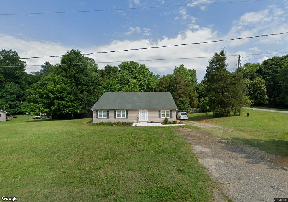
5294 West Rd Kernersville, NC 27284
Northwest Kernersville NeighborhoodEstimated Value: $274,000 - $456,000
4
Beds
4
Baths
5,928
Sq Ft
$62/Sq Ft
Est. Value
About This Home
This home is located at 5294 West Rd, Kernersville, NC 27284 and is currently estimated at $367,795, approximately $62 per square foot. 5294 West Rd is a home located in Forsyth County with nearby schools including Cash Elementary, East Forsyth Middle, and East Forsyth High School.
Ownership History
Date
Name
Owned For
Owner Type
Purchase Details
Closed on
Apr 9, 2008
Sold by
Schott Charlotte Jane
Bought by
Caballero Arturo Fuentes and Naranjo Claudia Petra Carrillo
Current Estimated Value
Home Financials for this Owner
Home Financials are based on the most recent Mortgage that was taken out on this home.
Original Mortgage
$115,650
Outstanding Balance
$73,884
Interest Rate
6.22%
Mortgage Type
Purchase Money Mortgage
Estimated Equity
$293,911
Create a Home Valuation Report for This Property
The Home Valuation Report is an in-depth analysis detailing your home's value as well as a comparison with similar homes in the area
Home Values in the Area
Average Home Value in this Area
Purchase History
| Date | Buyer | Sale Price | Title Company |
|---|---|---|---|
| Caballero Arturo Fuentes | $128,500 | None Available |
Source: Public Records
Mortgage History
| Date | Status | Borrower | Loan Amount |
|---|---|---|---|
| Open | Caballero Arturo Fuentes | $115,650 |
Source: Public Records
Tax History Compared to Growth
Tax History
| Year | Tax Paid | Tax Assessment Tax Assessment Total Assessment is a certain percentage of the fair market value that is determined by local assessors to be the total taxable value of land and additions on the property. | Land | Improvement |
|---|---|---|---|---|
| 2025 | $1,507 | $297,800 | $27,000 | $270,800 |
| 2024 | $1,507 | $192,800 | $21,800 | $171,000 |
| 2023 | $1,507 | $192,800 | $21,800 | $171,000 |
| 2022 | $1,507 | $192,800 | $21,800 | $171,000 |
| 2021 | $1,507 | $192,800 | $21,800 | $171,000 |
| 2020 | $1,219 | $143,300 | $31,300 | $112,000 |
| 2019 | $1,241 | $143,300 | $31,300 | $112,000 |
| 2018 | $1,192 | $143,300 | $31,300 | $112,000 |
| 2016 | $1,139 | $136,338 | $29,835 | $106,503 |
| 2015 | $1,119 | $136,338 | $29,835 | $106,503 |
| 2014 | $1,086 | $136,338 | $29,835 | $106,503 |
Source: Public Records
Map
Nearby Homes
- 5287 Shaddowfax Dr
- 5320 Brittainywood Rd
- 5335 Roburton Rd
- 5226 Shaddowfax Dr
- 5165 Beulah Ln
- 4224 Gracewood Farm Dr
- 4223 Gracewood Farm Dr
- 0 Weston Brooke Trail
- 4721 Weston Brooke Trail
- 4761 Weston Brooke Trail
- 4218 Gracewood Farm Dr
- 4217 Gracewood Farm Dr
- 4212 Gracewood Farm Dr
- 0 Morris Rd Rd
- 751 Morris Rd
- 769 Morris Rd
- 4211 Gracewood Farm Dr
- 4791 Weston Brooke Trail
- 765 Robbins Perch Trail
- 851 Morris Rd
- 5272 West Rd
- 5296 Shaddowfax Dr
- 5292 Shaddowfax Dr
- 4415 Old Hollow Rd
- 5275 West Rd
- 5288 Shaddowfax Dr
- 5285 West Rd
- 4405 Old Hollow Rd
- 5306 Shaddowfax Dr
- 4425 Old Hollow Rd
- 5284 Shaddowfax Dr
- 5295 Shaddowfax Dr
- 5280 Shaddowfax Dr
- 5258 West Rd
- 5255 West Rd
- 5255 West Rd Unit LOT 2
- 5255 West Rd Unit LOT 1
- 5255 West Rd Unit LOT
- 4435 Old Hollow Rd
- 5291 Shaddowfax Dr