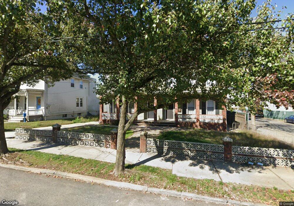
5295 Arthur Kill Rd Unit 2 Staten Island, NY 10307
Tottenville NeighborhoodEstimated Value: $796,000 - $936,000
2
Beds
1
Bath
2,192
Sq Ft
$393/Sq Ft
Est. Value
About This Home
This home is located at 5295 Arthur Kill Rd Unit 2, Staten Island, NY 10307 and is currently estimated at $860,667, approximately $392 per square foot. 5295 Arthur Kill Rd Unit 2 is a home located in Richmond County with nearby schools including P.S. 1 Tottenville, Is 34 Tottenville, and Tottenville High School.
Ownership History
Date
Name
Owned For
Owner Type
Purchase Details
Closed on
Apr 4, 2006
Sold by
Fekety Albert and Coughlin Nancy
Bought by
Coughlin Nancy
Current Estimated Value
Purchase Details
Closed on
Dec 15, 1999
Sold by
Fekety Josephine
Bought by
Fekety Albert and Coughlin Nancy
Create a Home Valuation Report for This Property
The Home Valuation Report is an in-depth analysis detailing your home's value as well as a comparison with similar homes in the area
Home Values in the Area
Average Home Value in this Area
Purchase History
| Date | Buyer | Sale Price | Title Company |
|---|---|---|---|
| Coughlin Nancy | -- | None Available | |
| Fekety Albert | -- | Newell/Talarico | |
| Fekety Albert | $110,000 | -- |
Source: Public Records
Tax History
| Year | Tax Paid | Tax Assessment Tax Assessment Total Assessment is a certain percentage of the fair market value that is determined by local assessors to be the total taxable value of land and additions on the property. | Land | Improvement |
|---|---|---|---|---|
| 2025 | $7,685 | $65,340 | $13,210 | $52,130 |
| 2024 | $7,685 | $55,200 | $14,765 | $40,435 |
| 2023 | $7,335 | $36,116 | $15,119 | $20,997 |
| 2022 | $7,210 | $51,360 | $21,300 | $30,060 |
| 2021 | $7,239 | $46,020 | $21,300 | $24,720 |
| 2020 | $23,333 | $40,080 | $21,300 | $18,780 |
| 2019 | $16,093 | $43,500 | $21,300 | $22,200 |
| 2018 | $6,135 | $30,097 | $14,322 | $15,775 |
| 2017 | $6,135 | $30,097 | $18,712 | $11,385 |
| 2016 | $5,730 | $28,663 | $18,106 | $10,557 |
| 2015 | -- | $28,141 | $14,928 | $13,213 |
| 2014 | -- | $26,572 | $11,971 | $14,601 |
Source: Public Records
Map
Nearby Homes
- 397 Ellis St
- 5272 Arthur Kill Rd
- 5265 Arthur Kill Rd
- 110 Yetman Ave
- 132 Fisher Ave
- 147 Wood Ave
- 213 Wood Ave
- 197 Craig Ave
- 217-219 Fisher Ave
- 140 Craig Ave
- 233 Fisher Ave
- 252 Barnard Ave
- 239 Barnard Ave
- 7355 Amboy Rd
- 261 Brehaut Ave
- 7247 Amboy Rd
- 7546 Amboy Rd
- 7587 Amboy Rd
- 7036 Amboy Rd
- 21 Sprague Ave
- 5295 Arthur Kill Rd Unit 5297
- 5295 Arthur Kill Rd Unit 1
- 5295-5297 Arthur Kill Rd
- 5297 Arthur Kill Rd
- 9-11 Wood Ln
- 5301 Arthur Kill Rd
- 4 Wood Ln
- 5309 Arthur Kill Rd
- 8 Wood Ln
- 92 Meagan Loop
- 96 Meagan Loop
- 5285 Arthur Kill Rd
- 5288 Arthur Kill Rd
- 88 Meagan Loop
- 5294 Arthur Kill Rd
- 5290 Arthur Kill Rd
- 5288-5290 Arthur Kill Rd
- 84 Meagan Loop
- 12 Wood Ln
- 5315 Arthur Kill Rd
Your Personal Tour Guide
Ask me questions while you tour the home.