5295 Clarkston Rd Clarkston, MI 48348
Estimated Value: $588,952 - $825,000
4
Beds
4
Baths
3,883
Sq Ft
$187/Sq Ft
Est. Value
About This Home
This home is located at 5295 Clarkston Rd, Clarkston, MI 48348 and is currently estimated at $727,488, approximately $187 per square foot. 5295 Clarkston Rd is a home located in Oakland County with nearby schools including Everest Academy.
Ownership History
Date
Name
Owned For
Owner Type
Purchase Details
Closed on
Jun 9, 2022
Sold by
Kearns Jr Michael J and Kearns Marilee
Bought by
Kearns Michael J and Kearns Pauline
Current Estimated Value
Purchase Details
Closed on
Apr 21, 2021
Sold by
Kearns Michael J and Kearns Pauline
Bought by
Kearns Mike and Kearns Pauline
Home Financials for this Owner
Home Financials are based on the most recent Mortgage that was taken out on this home.
Original Mortgage
$372,000
Interest Rate
2.9%
Mortgage Type
New Conventional
Purchase Details
Closed on
Jan 13, 2009
Sold by
Gojcaj Tom and Gojcaj Emiralda
Bought by
Oxford Bank
Purchase Details
Closed on
Sep 9, 2008
Sold by
Gojcaj Tom and Gojcaj Emiralda
Bought by
Oxford Bank
Purchase Details
Closed on
Aug 20, 1998
Sold by
Benson Mahlon A
Bought by
Gojcaj Tom
Create a Home Valuation Report for This Property
The Home Valuation Report is an in-depth analysis detailing your home's value as well as a comparison with similar homes in the area
Home Values in the Area
Average Home Value in this Area
Purchase History
| Date | Buyer | Sale Price | Title Company |
|---|---|---|---|
| Kearns Michael J | $339,125 | None Listed On Document | |
| Kearns Mike | -- | None Available | |
| Oxford Bank | $279,000 | None Available | |
| Oxford Bank | $349,900 | None Available | |
| Gojcaj Tom | $65,000 | -- |
Source: Public Records
Mortgage History
| Date | Status | Borrower | Loan Amount |
|---|---|---|---|
| Previous Owner | Kearns Mike | $372,000 |
Source: Public Records
Tax History Compared to Growth
Tax History
| Year | Tax Paid | Tax Assessment Tax Assessment Total Assessment is a certain percentage of the fair market value that is determined by local assessors to be the total taxable value of land and additions on the property. | Land | Improvement |
|---|---|---|---|---|
| 2024 | $5,463 | $379,600 | $39,100 | $340,500 |
| 2023 | $7,365 | $351,400 | $33,900 | $317,500 |
| 2022 | $7,365 | $322,800 | $32,200 | $290,600 |
| 2021 | $7,367 | $307,700 | $28,700 | $279,000 |
| 2020 | $4,769 | $304,100 | $27,800 | $276,300 |
| 2018 | $7,341 | $318,600 | $0 | $0 |
| 2015 | -- | $285,900 | $0 | $0 |
| 2014 | -- | $252,100 | $0 | $0 |
| 2011 | -- | $187,200 | $0 | $0 |
Source: Public Records
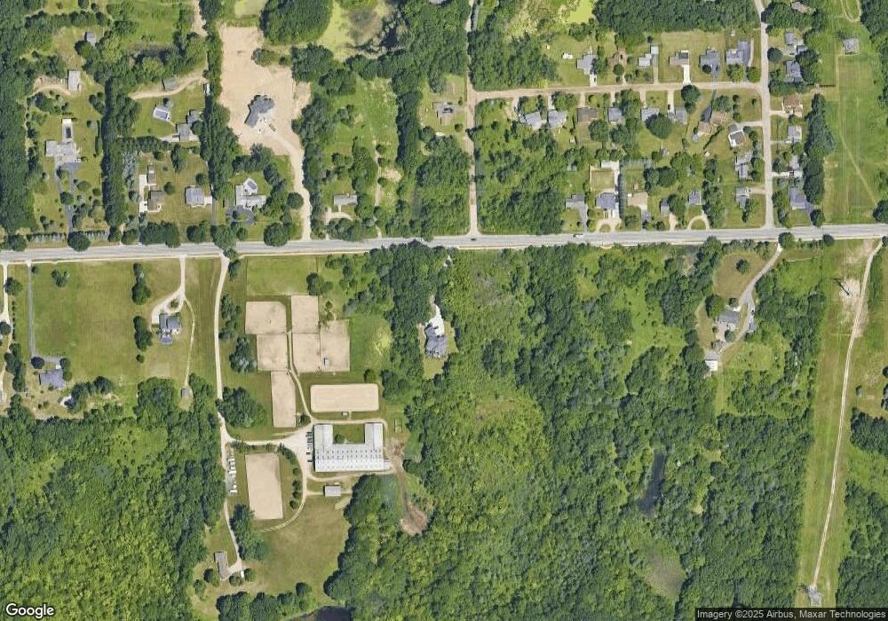
Map
Nearby Homes
- 7827 Eames Ct
- 7831 Caberfae Trail
- 7811 Caberfae Trail
- 7871 Caberfae Trail
- 5196 Greenview Dr
- 5226 Forest Valley Dr
- 5008 Oakdale Dr
- 4910 Clarkston Rd
- 4000 Ashdale Way
- 0 Thendara Blvd Unit 20250006134
- 5010 Forest Valley Dr
- 5001 Forest Valley Dr
- 7428 Foxburg Ct
- 5459 Bristol Parke Dr Unit 6
- 8550 Pine Knob Rd
- 6847 Oakhurst Ridge Rd
- 5011 Rockaway Ln
- 5624 Knob Hill Cir
- 5484 Waldon Rd
- 8646 Thendara Blvd
- 0000 Eames Ct
- 0 Eames Ct
- 5225 Clarkston Rd
- 5350 Clarkston Rd
- 5280 Clarkston Rd
- 7871 Eames Ct
- 5380 Clarkston Rd
- 5270 Clarkston Rd
- 5289 Marconi St
- 5279 Marconi St
- 5260 Clarkston Rd
- 5250 Clarkston Rd
- 5397 Clarkston Rd
- 5384 Clarkston Rd
- 5259 Marconi St
- 5240 Clarkston Rd
- 5249 Marconi St
- 5381 Clarkston Rd
- 5388 Clarkston Rd
- 5268 Marconi St