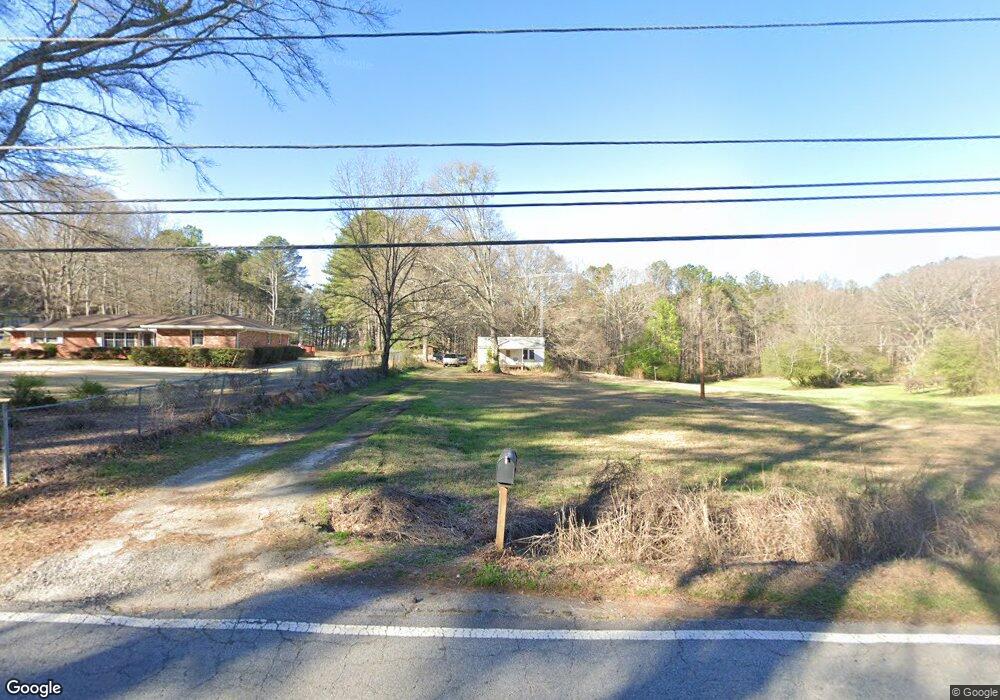
5295 Koweta Rd Atlanta, GA 30349
Estimated Value: $196,000 - $226,000
2
Beds
1
Bath
1,006
Sq Ft
$209/Sq Ft
Est. Value
About This Home
This home is located at 5295 Koweta Rd, Atlanta, GA 30349 and is currently estimated at $210,008, approximately $208 per square foot. 5295 Koweta Rd is a home located in Fulton County with nearby schools including Liberty Point Elementary School, Renaissance Middle School, and Langston Hughes High School.
Ownership History
Date
Name
Owned For
Owner Type
Purchase Details
Closed on
Feb 3, 1999
Sold by
Sewalt Charlotte
Bought by
Muller Richard L
Current Estimated Value
Home Financials for this Owner
Home Financials are based on the most recent Mortgage that was taken out on this home.
Original Mortgage
$59,000
Outstanding Balance
$13,953
Interest Rate
6.73%
Mortgage Type
New Conventional
Estimated Equity
$196,055
Create a Home Valuation Report for This Property
The Home Valuation Report is an in-depth analysis detailing your home's value as well as a comparison with similar homes in the area
Home Values in the Area
Average Home Value in this Area
Purchase History
| Date | Buyer | Sale Price | Title Company |
|---|---|---|---|
| Muller Richard L | $61,000 | -- |
Source: Public Records
Mortgage History
| Date | Status | Borrower | Loan Amount |
|---|---|---|---|
| Open | Muller Richard L | $59,000 |
Source: Public Records
Tax History Compared to Growth
Tax History
| Year | Tax Paid | Tax Assessment Tax Assessment Total Assessment is a certain percentage of the fair market value that is determined by local assessors to be the total taxable value of land and additions on the property. | Land | Improvement |
|---|---|---|---|---|
| 2025 | $419 | $54,360 | $26,360 | $28,000 |
| 2023 | $1,429 | $50,640 | $24,120 | $26,520 |
| 2022 | $377 | $28,040 | $10,960 | $17,080 |
| 2021 | $372 | $27,240 | $10,640 | $16,600 |
| 2020 | $364 | $22,200 | $5,960 | $16,240 |
| 2019 | $357 | $21,800 | $5,880 | $15,920 |
| 2018 | $348 | $21,280 | $5,720 | $15,560 |
| 2017 | $363 | $21,280 | $5,720 | $15,560 |
| 2016 | $362 | $21,320 | $12,920 | $8,400 |
| 2015 | $364 | $21,320 | $12,920 | $8,400 |
| 2014 | $335 | $19,720 | $13,600 | $6,120 |
Source: Public Records
Map
Nearby Homes
- 4820 Station Dr Unit 6
- 4824 Station Dr Unit 8
- 4815 Station Dr Unit 33
- 4835 Station Dr Unit 27
- 4816 Station Dr Unit 4
- 4812 Station Dr Unit 2
- 4811 Station Dr Unit 35
- 4838 Station Lane-Lot 15
- 3320 Stonewall Ln
- 3318 Stonewall Ln
- 8273 Eastshore Dr
- 8273 Eastshore Dr Unit 2
- Nelson Plan at The Enclave at Stonewall Station
- Cecil Plan at The Enclave at Stonewall Station
- 5250 Forest Downs Ln
- 5435 Forest Downs Cir
- 4811 Station Ln
- 4813 Station Ln
- 310 Wolf Downs Way
- 4814 Station Ln
- 5345 Koweta Rd
- 5291 Koweta Rd
- 5355 Koweta Rd
- 5300 Koweta Rd
- 5356 Koweta Rd
- 5356 Koweta Rd Unit 99
- 5281 Koweta Rd
- 5375 Koweta Rd
- 5370 Koweta Rd
- 5290 Koweta Rd
- 5261 Koweta Rd
- 5395 Koweta Rd
- 8936 Crestview Cir NW
- 8936 Crestview Cir
- 8934 Crestview Cir
- 8938 Crestview Cir
- 0 Crestview Cir 0
- 8936 Crestview Cir 0
- 8936 Crestview Circle 0