5295 Sand Bar Ln Atlanta, GA 30349
Estimated Value: $221,222 - $252,000
3
Beds
2
Baths
1,100
Sq Ft
$213/Sq Ft
Est. Value
About This Home
This home is located at 5295 Sand Bar Ln, Atlanta, GA 30349 and is currently estimated at $234,306, approximately $213 per square foot. 5295 Sand Bar Ln is a home located in Fulton County with nearby schools including Heritage Elementary School, Woodland Middle School, and Banneker High School.
Ownership History
Date
Name
Owned For
Owner Type
Purchase Details
Closed on
Nov 23, 2010
Sold by
Hud & Housing Of Urban Dev
Bought by
Crawford Keith J
Current Estimated Value
Home Financials for this Owner
Home Financials are based on the most recent Mortgage that was taken out on this home.
Original Mortgage
$60,776
Outstanding Balance
$40,567
Interest Rate
4.5%
Mortgage Type
FHA
Estimated Equity
$193,739
Purchase Details
Closed on
Jul 6, 2010
Sold by
Grant John K
Bought by
Suntrust Mtg Inc
Purchase Details
Closed on
Feb 10, 2005
Sold by
Homelife Communities Of Sand Piper
Bought by
Grant John K
Home Financials for this Owner
Home Financials are based on the most recent Mortgage that was taken out on this home.
Original Mortgage
$139,950
Interest Rate
5.69%
Mortgage Type
VA
Create a Home Valuation Report for This Property
The Home Valuation Report is an in-depth analysis detailing your home's value as well as a comparison with similar homes in the area
Home Values in the Area
Average Home Value in this Area
Purchase History
| Date | Buyer | Sale Price | Title Company |
|---|---|---|---|
| Crawford Keith J | -- | -- | |
| Suntrust Mtg Inc | $149,978 | -- | |
| Hud & Housing Of Urban Dev | -- | -- | |
| Suntrust Mtg Inc | $149,978 | -- | |
| Grant John K | $141,100 | -- |
Source: Public Records
Mortgage History
| Date | Status | Borrower | Loan Amount |
|---|---|---|---|
| Open | Crawford Keith J | $60,776 | |
| Previous Owner | Grant John K | $139,950 |
Source: Public Records
Tax History Compared to Growth
Tax History
| Year | Tax Paid | Tax Assessment Tax Assessment Total Assessment is a certain percentage of the fair market value that is determined by local assessors to be the total taxable value of land and additions on the property. | Land | Improvement |
|---|---|---|---|---|
| 2025 | $542 | $99,560 | $25,920 | $73,640 |
| 2023 | $2,619 | $92,800 | $24,840 | $67,960 |
| 2022 | $495 | $62,880 | $15,000 | $47,880 |
| 2021 | $484 | $61,040 | $14,560 | $46,480 |
| 2020 | $482 | $52,640 | $7,360 | $45,280 |
| 2019 | $679 | $48,280 | $6,880 | $41,400 |
| 2018 | $847 | $39,440 | $5,960 | $33,480 |
| 2017 | $391 | $22,800 | $5,280 | $17,520 |
| 2016 | $390 | $22,800 | $5,280 | $17,520 |
| 2015 | $392 | $22,800 | $5,280 | $17,520 |
| 2014 | $393 | $22,800 | $5,280 | $17,520 |
Source: Public Records
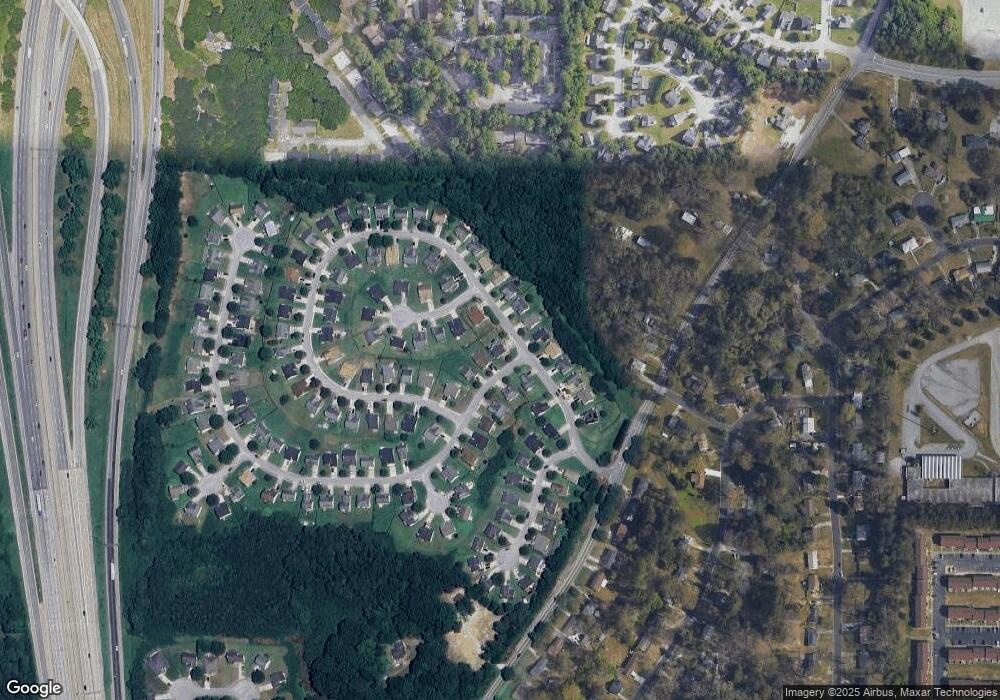
Map
Nearby Homes
- 5312 Westford Cir
- 5342 Sand Bar Ln
- 5425 Westford Cir
- 2765 Live Oak Trail
- 5157 Seashell Ln
- 3120 Godby Rd Unit 1132
- 3120 Godby Rd
- 5149 Seashell Ln
- 5337 Jerome Rd
- 5430 Old Bill Cook Rd
- 2849 Windsor Forrest Ct
- 5074 Windsor Forrest Ln
- 5072 Windsor Forrest Ln
- 5057 Windsor Forrest Ln
- 2595 Northfield Ct
- 5439 Baybrook Cir
- 5441 Baybrook Cir
- 5443 Baybrook Cir
- 5445 Baybrook Cir
- 5297 Sand Bar Ln
- 2739 High Tide Dr
- 5274 High Tide Ct
- 5301 Sand Bar Ln
- 2747 High Tide Dr
- 5282 Sand Bar Ln
- 5286 Sand Bar Ln
- 5276 High Tide Ct
- 5278 High Tide Ct
- 2735 High Tide Dr Unit 2
- 2751 High Tide Dr
- 2723 High Tide Dr
- 5290 Sand Bar Ln Unit 22
- 5290 Sand Bar Ln
- 2731 High Tide Dr
- 2854 High Tide Dr
- 0 High Tide Ct Unit 7393596
- 0 High Tide Ct Unit 7422912
- 0 High Tide Ct Unit 3167343
- 0 High Tide Ct Unit 8305078