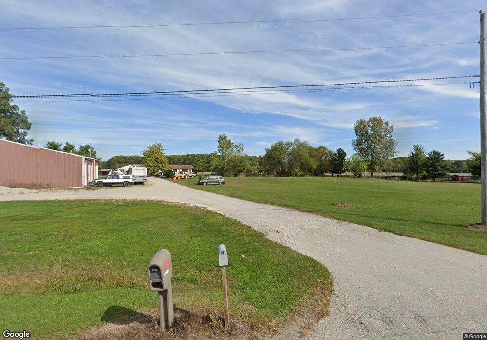
52952 State Route 18 New London, OH 44851
Estimated Value: $323,615 - $406,000
2
Beds
2
Baths
1,608
Sq Ft
$221/Sq Ft
Est. Value
About This Home
This home is located at 52952 State Route 18, New London, OH 44851 and is currently estimated at $355,154, approximately $220 per square foot. 52952 State Route 18 is a home located in Lorain County with nearby schools including Westwood Elementary School, McCormick Middle School, and Wellington High School.
Ownership History
Date
Name
Owned For
Owner Type
Purchase Details
Closed on
Feb 16, 2005
Sold by
Stevens Tina M and Lambert Brian H
Bought by
Kopnicky Alan R and Kopnicky Mary R
Current Estimated Value
Home Financials for this Owner
Home Financials are based on the most recent Mortgage that was taken out on this home.
Original Mortgage
$143,600
Interest Rate
5.78%
Mortgage Type
Purchase Money Mortgage
Purchase Details
Closed on
Aug 27, 1999
Sold by
Haynes Kelvin H and Haynes Diane L
Bought by
Stevens Tina M and Lambert Brian H
Home Financials for this Owner
Home Financials are based on the most recent Mortgage that was taken out on this home.
Original Mortgage
$173,569
Interest Rate
7.61%
Mortgage Type
FHA
Create a Home Valuation Report for This Property
The Home Valuation Report is an in-depth analysis detailing your home's value as well as a comparison with similar homes in the area
Home Values in the Area
Average Home Value in this Area
Purchase History
| Date | Buyer | Sale Price | Title Company |
|---|---|---|---|
| Kopnicky Alan R | $179,500 | Network Title | |
| Stevens Tina M | $175,000 | Midland Title |
Source: Public Records
Mortgage History
| Date | Status | Borrower | Loan Amount |
|---|---|---|---|
| Closed | Kopnicky Alan R | $143,600 | |
| Closed | Stevens Tina M | $173,569 | |
| Closed | Kopnicky Alan R | $35,900 |
Source: Public Records
Tax History Compared to Growth
Tax History
| Year | Tax Paid | Tax Assessment Tax Assessment Total Assessment is a certain percentage of the fair market value that is determined by local assessors to be the total taxable value of land and additions on the property. | Land | Improvement |
|---|---|---|---|---|
| 2024 | $3,625 | $86,058 | $26,551 | $59,507 |
| 2023 | $3,892 | $82,383 | $24,560 | $57,824 |
| 2022 | $3,845 | $82,383 | $24,560 | $57,824 |
| 2021 | $3,847 | $82,383 | $24,560 | $57,824 |
| 2020 | $3,470 | $69,120 | $20,610 | $48,510 |
| 2019 | $3,413 | $69,120 | $20,610 | $48,510 |
| 2018 | $3,164 | $69,120 | $20,610 | $48,510 |
| 2017 | $2,905 | $54,470 | $12,610 | $41,860 |
| 2016 | $2,904 | $54,470 | $12,610 | $41,860 |
| 2015 | $2,898 | $54,470 | $12,610 | $41,860 |
| 2014 | $3,011 | $55,810 | $12,920 | $42,890 |
| 2013 | $3,218 | $59,610 | $12,920 | $46,690 |
Source: Public Records
Map
Nearby Homes
- 22697 Gore Orphanage Rd
- 0 Butler Rd N
- 20011 Gore Orphanage Rd
- 1491 Vesta Rd
- 52025 Betts Rd
- 20303 Mosher Rd
- 20765 Quarry Rd
- 202 S State St
- 18315 Gifford Rd
- 816 Butler Rd S
- 21251 Pitts Rd
- 1195 Fitchville River Rd
- 18233 Quarry Rd
- 4718 Brushwood Rd
- 48685 Ohio 303
- 5429 & 5431 St Rt 303
- 34 Cherdon Cir
- 15806 State Route 511
- 111 S Mill St
- 0 Peck Wadsworth Rd
- 52900 State Route 18
- 6837 State Route 18 E
- 6855 State Route 18 E
- 52985 State Route 18
- 6879 State Route 18 E
- 6881 State Route 18 E
- 52979 State Route 18
- 52973 State Route 18
- 52967 Ohio 18
- 52967 State Route 18
- 21390 Gore Orphanage Rd
- 22048 Gore Orphanage Rd
- 6673 State Route 18 E
- 6672 Ohio 18
- 6672 State Route 18 E
- 21881 Gore Orphanage Rd
- 52722 State Route 18
- 21713 Gore Orphanage Rd
- 21451 Gore Orphanage Rd
- 52606 State Route 18