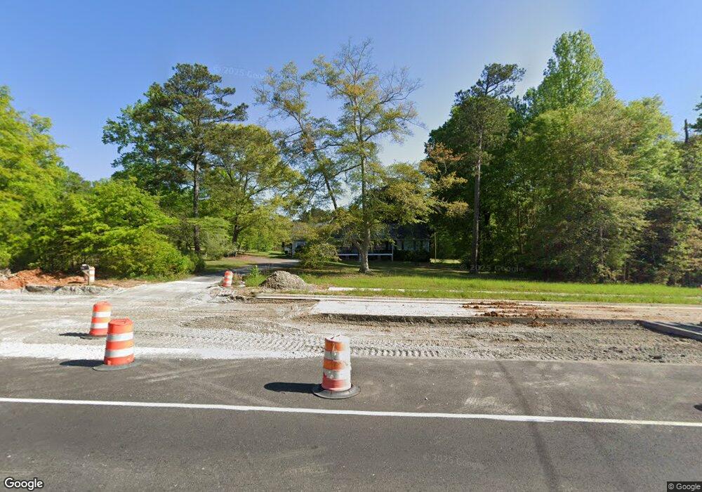
5296 MacLand Rd Powder Springs, GA 30127
West Cobb NeighborhoodEstimated Value: $296,000 - $349,000
3
Beds
2
Baths
1,742
Sq Ft
$189/Sq Ft
Est. Value
About This Home
This home is located at 5296 MacLand Rd, Powder Springs, GA 30127 and is currently estimated at $329,932, approximately $189 per square foot. 5296 MacLand Rd is a home located in Cobb County with nearby schools including Tapp Middle School, McEachern High School, and Grace Baptist Christian School.
Ownership History
Date
Name
Owned For
Owner Type
Purchase Details
Closed on
Jun 24, 2022
Sold by
Carr Tessa R
Bought by
Bh Shared Ownership I Ga Llc
Current Estimated Value
Purchase Details
Closed on
Aug 19, 2015
Sold by
Walden Billie J
Bought by
Carr Tessa R
Home Financials for this Owner
Home Financials are based on the most recent Mortgage that was taken out on this home.
Original Mortgage
$134,000
Interest Rate
4.09%
Mortgage Type
Commercial
Purchase Details
Closed on
Nov 26, 2001
Sold by
Walden Teresa L
Bought by
Walden Teresa L and Walden Billie J
Home Financials for this Owner
Home Financials are based on the most recent Mortgage that was taken out on this home.
Original Mortgage
$100,000
Interest Rate
6.6%
Mortgage Type
New Conventional
Create a Home Valuation Report for This Property
The Home Valuation Report is an in-depth analysis detailing your home's value as well as a comparison with similar homes in the area
Home Values in the Area
Average Home Value in this Area
Purchase History
| Date | Buyer | Sale Price | Title Company |
|---|---|---|---|
| Bh Shared Ownership I Ga Llc | $241,500 | -- | |
| Carr Tessa R | $168,000 | -- | |
| Walden Teresa L | -- | -- |
Source: Public Records
Mortgage History
| Date | Status | Borrower | Loan Amount |
|---|---|---|---|
| Previous Owner | Carr Tessa R | $134,000 | |
| Previous Owner | Walden Teresa L | $100,000 | |
| Closed | Bh Shared Ownership I Ga Llc | $0 |
Source: Public Records
Tax History Compared to Growth
Tax History
| Year | Tax Paid | Tax Assessment Tax Assessment Total Assessment is a certain percentage of the fair market value that is determined by local assessors to be the total taxable value of land and additions on the property. | Land | Improvement |
|---|---|---|---|---|
| 2025 | $3,071 | $101,928 | $37,456 | $64,472 |
| 2024 | $3,073 | $101,928 | $37,456 | $64,472 |
| 2023 | $2,912 | $96,600 | $35,480 | $61,120 |
| 2022 | $2,082 | $83,296 | $28,092 | $55,204 |
| 2021 | $2,082 | $83,296 | $28,092 | $55,204 |
| 2020 | $1,843 | $72,372 | $20,600 | $51,772 |
| 2019 | $1,843 | $72,372 | $20,600 | $51,772 |
| 2018 | $1,843 | $72,372 | $20,600 | $51,772 |
| 2017 | $1,603 | $65,216 | $15,732 | $49,484 |
| 2016 | $1,555 | $62,968 | $13,484 | $49,484 |
| 2015 | $510 | $62,968 | $13,484 | $49,484 |
| 2014 | $486 | $52,736 | $0 | $0 |
Source: Public Records
Map
Nearby Homes
- 5290 Oglethorpe Ct
- 5110 MacLand Rd
- 4821 Overland Dr
- 2239 Noelle Place
- 5199 Olive Branch Cir
- 1896 Bullard Rd
- 5143 Olive Branch Cir
- 2223 Noelle Place
- 2553 Harvest Moon Ct Unit 1
- 2532 Greenes Ln
- 2607 Restoration Dr
- 4956 Manna Ln
- Payton III Plan at Springside Reserve - Farmhouse Series
- Monroe Plan at Springside Reserve - Farmhouse Series
- Huntington Plan at Springside Reserve - Farmhouse Series
- Benjamin II Plan at Springside Reserve - Farmhouse Series
- Richard II Plan at Springside Reserve - Farmhouse Series
- Somerset III Plan at Springside Reserve - Farmhouse Series
- Reynold Plan at Springside Reserve - Farmhouse Series
- Alexander Plan at Springside Reserve - Farmhouse Series
- 2064 Corner Rd
- 5311 MacLand Rd
- 5138 Vansant Trail Unit 1
- 5138 Vansant Trail
- 5139 Vansant Trail Unit 17
- 5139 Vansant Trail
- 2031 Corner Rd
- 5369 MacLand Rd
- 5134 Vansant Trail Unit 2
- 5134 Vansant Trail
- 5135 Vansant Trail Unit 16
- 2000 Corner Rd
- 5131 Vansant Trail Unit 15
- 5131 Vansant Trail
- 5130 Vansant Trail Unit 3
- 5130 Vansant Trail
- 1996 Corner Rd
- 0 Vansant Trail SW Unit 7275524
- 0 Vansant Trail SW Unit 8220086
- 0 Vansant Trail SW Unit 8113296