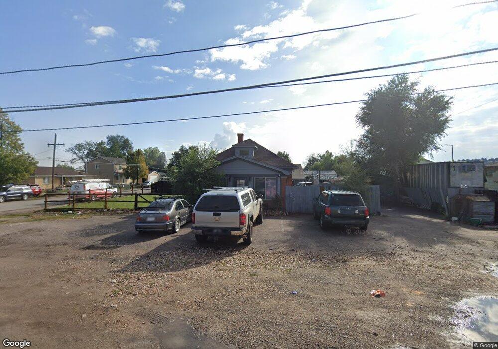
5296 Marshall St Arvada, CO 80002
Estimated Value: $623,000 - $857,220
5
Beds
2
Baths
2,977
Sq Ft
$238/Sq Ft
Est. Value
About This Home
This home is located at 5296 Marshall St, Arvada, CO 80002 and is currently estimated at $709,805, approximately $238 per square foot. 5296 Marshall St is a home located in Jefferson County with nearby schools including Swanson Elementary School, North Arvada Middle School, and Arvada High School.
Ownership History
Date
Name
Owned For
Owner Type
Purchase Details
Closed on
Sep 7, 2016
Sold by
Stor Lean Axel
Bought by
5296 Marshall Llc
Current Estimated Value
Purchase Details
Closed on
Jul 15, 2016
Sold by
Caldiero David
Bought by
Stor Leon
Purchase Details
Closed on
Jun 17, 2005
Sold by
Higgins Maurice and Higgins Margaret
Bought by
Caldiero David
Home Financials for this Owner
Home Financials are based on the most recent Mortgage that was taken out on this home.
Original Mortgage
$250,000
Interest Rate
7%
Mortgage Type
Unknown
Create a Home Valuation Report for This Property
The Home Valuation Report is an in-depth analysis detailing your home's value as well as a comparison with similar homes in the area
Home Values in the Area
Average Home Value in this Area
Purchase History
| Date | Buyer | Sale Price | Title Company |
|---|---|---|---|
| 5296 Marshall Llc | -- | None Available | |
| Stor Leon | $320,000 | Heritage Title | |
| Caldiero David | $290,000 | Land Title Guarantee Company |
Source: Public Records
Mortgage History
| Date | Status | Borrower | Loan Amount |
|---|---|---|---|
| Previous Owner | Caldiero David | $250,000 |
Source: Public Records
Tax History Compared to Growth
Tax History
| Year | Tax Paid | Tax Assessment Tax Assessment Total Assessment is a certain percentage of the fair market value that is determined by local assessors to be the total taxable value of land and additions on the property. | Land | Improvement |
|---|---|---|---|---|
| 2024 | $5,754 | $58,789 | $17,416 | $41,373 |
| 2023 | $5,754 | $58,789 | $17,416 | $41,373 |
| 2022 | $4,677 | $47,401 | $12,297 | $35,104 |
| 2021 | $4,733 | $48,766 | $12,651 | $36,115 |
| 2020 | $4,455 | $39,304 | $11,508 | $27,796 |
| 2019 | $3,762 | $39,304 | $11,508 | $27,796 |
| 2018 | $3,977 | $40,248 | $9,137 | $31,111 |
| 2017 | $3,636 | $40,248 | $9,137 | $31,111 |
| 2016 | $2,601 | $26,986 | $8,718 | $18,268 |
| 2015 | $1,318 | $66,845 | $15,930 | $50,915 |
| 2014 | $6,475 | $62,911 | $15,671 | $47,240 |
Source: Public Records
Map
Nearby Homes
- 6247 W 53rd Ave
- 5513 Newland Way
- 6700 W 55th Ave
- 6801 W 52nd Ave
- 6933 W 52nd Place
- 5525 Pierce Ct
- 6890 W 55th Place
- 6855 Reno Dr
- 5465 Reed Ct
- 5465 Saulsbury Ct
- 5495 Saulsbury Ct
- 6105 W 49th Place
- 4963 Harlan St
- 4880 Ingalls St
- 7011 Grandview Ave
- 5250 W 53rd Ave Unit 125
- 5250 W 53rd Ave Unit 116
- 4860 N Harlan St
- 6902 Ralston Rd
- 5815 Pierce St Unit A-H
- 5290 Marshall St
- 6420 W 53rd Ave
- 6495 W 53rd Ave
- 6485 W 53rd Ave
- 6445 W 53rd Ave
- 5310 Marshall St
- 6350 W 53rd Ave
- 6405 W 53rd Ave
- 5250 Marshall St
- 6340 W 53rd Ave
- 6395 W 53rd Ave
- 5310 Newland St
- 6553 W 53rd Ave
- 5320 Newland St
- 5330 Newland St
- 6335 W 53rd Ave
- 6330 W 53rd Ave
- 5340 Newland St
- 5350 Newland St
- 5360 Newland St