5296 No Name Rd Loomis, CA 95650
Estimated Value: $725,000 - $1,362,000
3
Beds
2
Baths
3,066
Sq Ft
$338/Sq Ft
Est. Value
About This Home
This home is located at 5296 No Name Rd, Loomis, CA 95650 and is currently estimated at $1,036,087, approximately $337 per square foot. 5296 No Name Rd is a home located in Placer County with nearby schools including Del Oro High School, Loomis Basin Charter School, and Sierra Foothills Academy.
Ownership History
Date
Name
Owned For
Owner Type
Purchase Details
Closed on
Jul 13, 2017
Sold by
Martin Robert A and Martin Terri L
Bought by
Martin Robert A
Current Estimated Value
Purchase Details
Closed on
Mar 13, 2013
Sold by
Department Of Veterans Affairs
Bought by
Martin Robert A and Martin Terri L
Purchase Details
Closed on
Jul 30, 1996
Sold by
Kitada Ken
Bought by
Va
Create a Home Valuation Report for This Property
The Home Valuation Report is an in-depth analysis detailing your home's value as well as a comparison with similar homes in the area
Home Values in the Area
Average Home Value in this Area
Purchase History
We collect this data history from publicly available records. To have your information removed, we recommend requesting removal directly through your county’s website.
| Date | Buyer | Sale Price | Title Company |
|---|---|---|---|
| Martin Robert A | -- | None Available | |
| Martin Robert A | -- | None Available | |
| Va | $197,772 | Chicago Title Co |
Source: Public Records
Tax History
| Year | Tax Paid | Tax Assessment Tax Assessment Total Assessment is a certain percentage of the fair market value that is determined by local assessors to be the total taxable value of land and additions on the property. | Land | Improvement |
|---|---|---|---|---|
| 2025 | $3,972 | $679,606 | $162,853 | $516,753 |
| 2023 | $3,972 | $336,032 | $156,530 | $179,502 |
| 2022 | $3,888 | $329,444 | $153,461 | $175,983 |
| 2021 | $3,783 | $322,985 | $150,452 | $172,533 |
| 2020 | $3,733 | $319,674 | $148,910 | $170,764 |
| 2019 | $3,666 | $313,407 | $145,991 | $167,416 |
| 2018 | $3,476 | $307,263 | $143,129 | $164,134 |
| 2017 | $3,412 | $301,239 | $140,323 | $160,916 |
| 2016 | $3,336 | $295,333 | $137,572 | $157,761 |
| 2015 | $3,264 | $290,898 | $135,506 | $155,392 |
| 2014 | $3,210 | $285,201 | $132,852 | $152,349 |
Source: Public Records
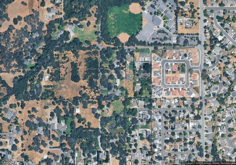
Map
Nearby Homes
- 3430 Grove Cir
- 5502 Sparas St
- 6100 Helens Ct
- 3536 Bankhead Rd
- 5782 King Rd
- 3655 Wine Way
- 5833 Mareta Ln
- 3395 Delmar Ave
- 3437 Taylor Rd
- 3890 Delmar Ave
- 6139 Smoke Wood Ct
- 3586 Sun Knoll Dr
- 3838 Circle Dr
- 3301 Stone Field Way
- 3920 Bankhead Rd
- 6154 S Walnut St Unit 24
- 6154 S Walnut St Unit 40
- 4062 Quarry Ct
- 3110 Del Oro Dr
- 2380 Delmar Ave
- 5284 No Name Rd
- 5350 No Name Rd
- 5310 No Name Rd
- 5398 No Name Rd
- 5415 Myrtle Dr
- 5392 No Name Rd
- 5435 Myrtle Dr
- 3360 Clayton Ln
- 5449 Myrtle Dr
- 5386 No Name Rd
- 5386 No Name Rd
- 1 No Name Ln
- 3400 Reyman Ln
- 5471 Myrtle Dr
- 3400 Grove Cir
- 3387 Reyman Ln
- 5479 Myrtle Dr
- 3384 Colvin Dr
- 5491 Myrtle Dr
- 3403 Reyman Ln
Your Personal Tour Guide
Ask me questions while you tour the home.