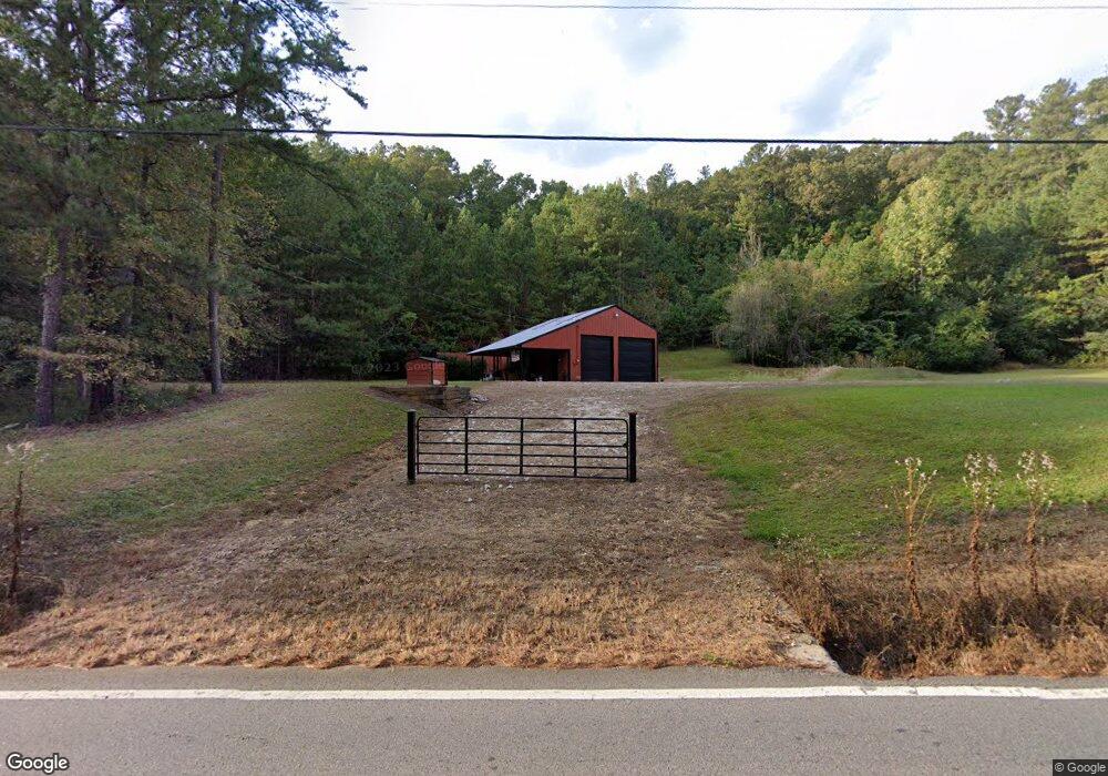
5297 Dabbs Bridge Rd Acworth, GA 30101
Cedarcrest NeighborhoodEstimated Value: $126,000 - $768,000
3
Beds
3
Baths
2,338
Sq Ft
$174/Sq Ft
Est. Value
About This Home
This home is located at 5297 Dabbs Bridge Rd, Acworth, GA 30101 and is currently estimated at $406,101, approximately $173 per square foot. 5297 Dabbs Bridge Rd is a home located in Paulding County with nearby schools including Burnt Hickory Elementary School, Sammy Mcclure Sr. Middle School, and North Paulding High School.
Ownership History
Date
Name
Owned For
Owner Type
Purchase Details
Closed on
Dec 27, 2023
Sold by
Parker Michael
Bought by
Cann Phillip D and Cann Stephanie Kara
Current Estimated Value
Home Financials for this Owner
Home Financials are based on the most recent Mortgage that was taken out on this home.
Original Mortgage
$254,625
Outstanding Balance
$157,355
Interest Rate
7.22%
Mortgage Type
New Conventional
Estimated Equity
$248,746
Purchase Details
Closed on
Sep 3, 2010
Sold by
Weaver Randy P
Bought by
Parker Michael
Home Financials for this Owner
Home Financials are based on the most recent Mortgage that was taken out on this home.
Original Mortgage
$94,000
Interest Rate
4.6%
Mortgage Type
Trade
Create a Home Valuation Report for This Property
The Home Valuation Report is an in-depth analysis detailing your home's value as well as a comparison with similar homes in the area
Home Values in the Area
Average Home Value in this Area
Purchase History
| Date | Buyer | Sale Price | Title Company |
|---|---|---|---|
| Cann Phillip D | $339,500 | -- | |
| Parker Michael | $100,000 | -- |
Source: Public Records
Mortgage History
| Date | Status | Borrower | Loan Amount |
|---|---|---|---|
| Open | Cann Phillip D | $254,625 | |
| Previous Owner | Parker Michael | $94,000 |
Source: Public Records
Tax History Compared to Growth
Tax History
| Year | Tax Paid | Tax Assessment Tax Assessment Total Assessment is a certain percentage of the fair market value that is determined by local assessors to be the total taxable value of land and additions on the property. | Land | Improvement |
|---|---|---|---|---|
| 2024 | $991 | $39,840 | $37,160 | $2,680 |
| 2023 | $985 | $37,800 | $36,240 | $1,560 |
| 2022 | $805 | $30,880 | $29,160 | $1,720 |
| 2021 | $763 | $26,240 | $24,640 | $1,600 |
| 2020 | $778 | $26,200 | $24,640 | $1,560 |
| 2019 | $754 | $25,040 | $23,480 | $1,560 |
| 2018 | $703 | $23,320 | $21,720 | $1,600 |
| 2017 | $689 | $22,560 | $20,800 | $1,760 |
| 2016 | $637 | $21,080 | $19,520 | $1,560 |
| 2015 | $638 | $20,720 | $19,000 | $1,720 |
| 2014 | $604 | $19,120 | $17,200 | $1,920 |
| 2013 | -- | $29,400 | $23,360 | $6,040 |
Source: Public Records
Map
Nearby Homes
- 0 Overlook Trail Unit 10617151
- 111 Dripping Rock Trail SE
- 73 Valley Trail SE
- 26 Trillium Ln
- 441 Pumpkinvine Rd
- 1276 Rutledge Rd
- 116 Silvercrest Dr
- 222 Silvercrest Dr
- 149 Silvercrest Dr Unit LOT 58
- 1131 Rutledge Rd
- 528 Pumpkinvine Rd
- 205 Silvercrest Dr
- 1128L Rutledge Rd
- 1130L Rutledge Rd
- 27 Retreat Ridge SE
- 11 Brownson Ct
- 5094 Gwendolyn Ct NW
- 341 Carl Sanders Dr
- 18 Brownson Ct
- 4559 Oglethorpe Loop NW
- 5290 Dabbs Bridge Rd
- 5363 Dabbs Bridge Rd
- 146 Jasper Path
- 170 Jasper Path
- 5429 Dabbs Bridge Rd
- 163 Jasper Path
- 164 Flower Farm Dr
- 001 Flower Farm Dr
- 6650 Skyview Dr SE
- 00 Lot5 the Flower Farm Dr
- 00 Flower Farm Dr
- 6668 Skyview Dr SE
- 6640 Skyview Dr SE
- 6670 Skyview Dr SE
- 185 Flower Farm Dr
- 131 Flower Farm Dr
- 6672 Skyview Dr SE
- 170 Carolyn Ct SE
- 5535 Dabbs Bridge Rd
- 152 Charles Ct SE