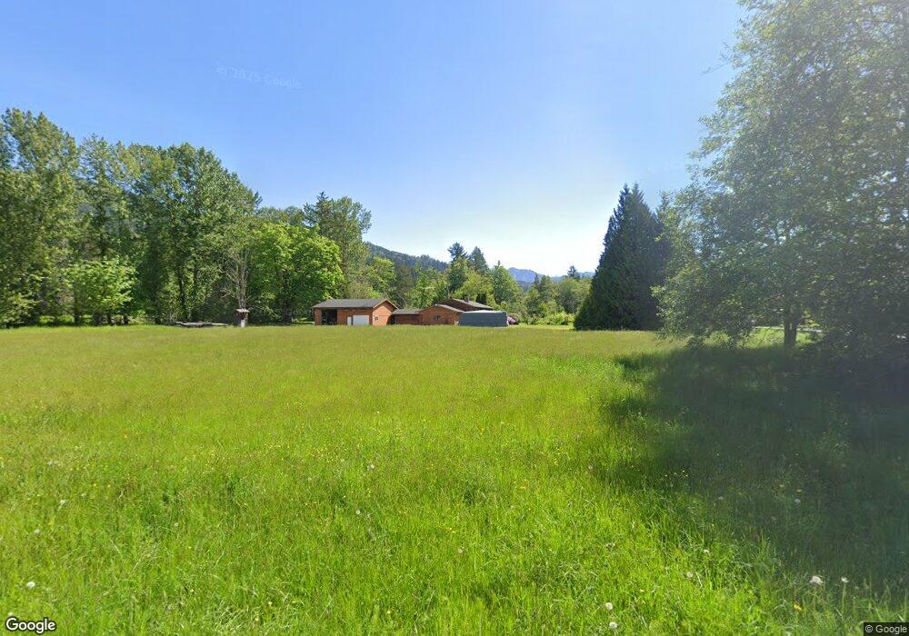
5298 Macaulay Rd Deming, WA 98244
Estimated Value: $717,000 - $730,000
4
Beds
2
Baths
1,998
Sq Ft
$363/Sq Ft
Est. Value
About This Home
This home is located at 5298 Macaulay Rd, Deming, WA 98244 and is currently estimated at $724,816, approximately $362 per square foot. 5298 Macaulay Rd is a home located in Whatcom County with nearby schools including Mount Baker Senior High School.
Ownership History
Date
Name
Owned For
Owner Type
Purchase Details
Closed on
Jan 8, 2008
Sold by
Woolf Ivory Jonalyn Rebecca
Bought by
Woolf Kenneth Harold
Current Estimated Value
Purchase Details
Closed on
Dec 12, 2007
Sold by
Woolf Ivory Jonalyn Rebecca
Bought by
Roff Karen Sandra
Purchase Details
Closed on
Nov 9, 2007
Sold by
Woolf Ivory Jonalyn Rebecca
Bought by
Woolf Ivory Jonalyn Rebecca
Create a Home Valuation Report for This Property
The Home Valuation Report is an in-depth analysis detailing your home's value as well as a comparison with similar homes in the area
Purchase History
| Date | Buyer | Sale Price | Title Company |
|---|---|---|---|
| Woolf Kenneth Harold | -- | None Available | |
| Roff Karen Sandra | -- | None Available | |
| Woolf Ivory Jonalyn Rebecca | -- | None Available |
Source: Public Records
Tax History
| Year | Tax Paid | Tax Assessment Tax Assessment Total Assessment is a certain percentage of the fair market value that is determined by local assessors to be the total taxable value of land and additions on the property. | Land | Improvement |
|---|---|---|---|---|
| 2025 | $5,475 | $694,673 | $226,538 | $468,135 |
| 2024 | $5,358 | $682,128 | $225,411 | $456,717 |
| 2023 | $5,358 | $717,927 | $259,115 | $458,812 |
| 2022 | $4,637 | $588,451 | $212,384 | $376,067 |
| 2021 | $4,196 | $474,553 | $171,276 | $303,277 |
| 2020 | $3,870 | $402,161 | $145,148 | $257,013 |
| 2019 | $3,462 | $354,334 | $127,886 | $226,448 |
| 2018 | $4,324 | $341,626 | $123,300 | $218,326 |
| 2017 | $3,917 | $337,418 | $115,344 | $222,074 |
| 2016 | $3,772 | $325,703 | $111,339 | $214,364 |
| 2015 | $3,483 | $311,058 | $106,333 | $204,725 |
| 2014 | -- | $292,898 | $100,125 | $192,773 |
| 2013 | -- | $292,898 | $100,125 | $192,773 |
Source: Public Records
Map
Nearby Homes
- 4730 Mt Baker Hwy
- 0 Mt Baker Hwy Unit NWM2371192
- 0 Mt Baker Hwy Unit NWM2489013
- 0 Mt Baker Hwy Unit NWM2230071
- 5242 Scarlett Way
- 3999 Deming Rd
- 3772 E Hoff Rd
- 3557 Cedarville Rd Unit 25
- 5947 Lawrence Rd
- 4126 Caron Rd
- 5566 Williams Lake Rd
- 5860 Bell Creek Logging Rd
- 4086 Valley Hwy
- 5544 Sand Rd
- 5196 Sand Rd
- 3395 Mack Rd
- 3090 Cole Rd
- 2200 E Smith Rd
- 7406 Oat Coles Rd
- 3037 Massey Rd
- 6500 block Mount Baker Hwy
- 7019 Mount Baker Hwy
- 5555 Mount Baker Hwy
- 5000 Mount Baker Hwy
- 6490 xxx Mount Baker Hwy
- 4605 Deming Rd
- 4698 Mt Baker Hwy
- 4696 Mt Baker Hwy
- 4644 Deming Rd
- 4656 Deming Rd
- 5 Salmon Ridge Ln
- 4702 Mount Baker Hwy
- 6 xxx Mt Baker Hwy Hwy
- 4541 Deming Rd
- 5230 Pebley Rd
- 4700 Mt Baker Hwy
- 4692 Deming Rd
- 4601 Deming Rd
- 5319 Salmon Ridge Ln
Your Personal Tour Guide
Ask me questions while you tour the home.