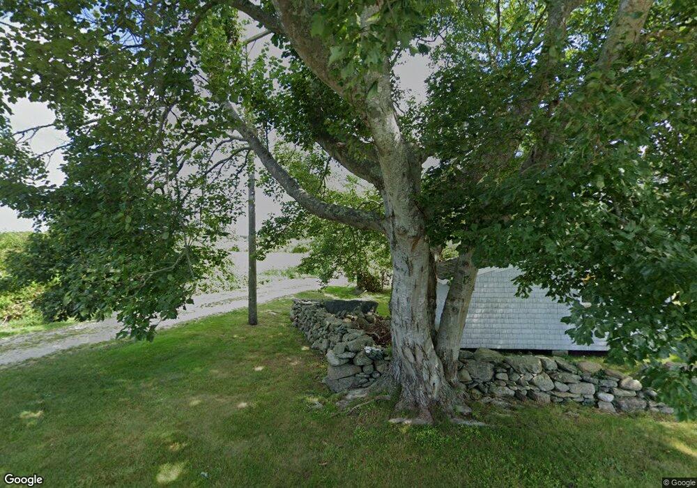
52D Grange Ave Little Compton, RI 02837
Estimated Value: $1,147,000 - $1,366,000
3
Beds
1
Bath
1,252
Sq Ft
$993/Sq Ft
Est. Value
About This Home
This home is located at 52D Grange Ave, Little Compton, RI 02837 and is currently estimated at $1,243,110, approximately $992 per square foot. 52D Grange Ave is a home located in Newport County with nearby schools including Wilbur & McMahon School.
Ownership History
Date
Name
Owned For
Owner Type
Purchase Details
Closed on
Mar 20, 2020
Sold by
Doebler-Toll Christine
Bought by
Angell Irving J and Jostrand-Angell Katherine
Current Estimated Value
Home Financials for this Owner
Home Financials are based on the most recent Mortgage that was taken out on this home.
Original Mortgage
$385,000
Outstanding Balance
$339,579
Interest Rate
3.4%
Mortgage Type
Purchase Money Mortgage
Estimated Equity
$903,531
Create a Home Valuation Report for This Property
The Home Valuation Report is an in-depth analysis detailing your home's value as well as a comparison with similar homes in the area
Home Values in the Area
Average Home Value in this Area
Purchase History
| Date | Buyer | Sale Price | Title Company |
|---|---|---|---|
| Angell Irving J | $616,000 | None Available | |
| Angell Irving J | $616,000 | None Available |
Source: Public Records
Mortgage History
| Date | Status | Borrower | Loan Amount |
|---|---|---|---|
| Open | Angell Irving J | $385,000 | |
| Closed | Angell Irving J | $385,000 |
Source: Public Records
Tax History Compared to Growth
Tax History
| Year | Tax Paid | Tax Assessment Tax Assessment Total Assessment is a certain percentage of the fair market value that is determined by local assessors to be the total taxable value of land and additions on the property. | Land | Improvement |
|---|---|---|---|---|
| 2025 | $4,132 | $862,600 | $552,100 | $310,500 |
| 2024 | $3,790 | $746,100 | $482,100 | $264,000 |
| 2023 | $4,154 | $837,500 | $492,100 | $345,400 |
| 2022 | $2,724 | $555,900 | $492,100 | $63,800 |
| 2021 | $3,634 | $601,700 | $463,500 | $138,200 |
| 2020 | $3,604 | $601,700 | $463,500 | $138,200 |
| 2019 | $3,535 | $596,200 | $463,500 | $132,700 |
| 2018 | $3,553 | $596,200 | $463,500 | $132,700 |
| 2016 | $3,380 | $596,200 | $463,500 | $132,700 |
| 2015 | $3,050 | $530,500 | $394,100 | $136,400 |
| 2014 | $2,992 | $530,500 | $394,100 | $136,400 |
Source: Public Records
Map
Nearby Homes
- 49 Ocean Dr
- 18 Old Barn Rd
- 89 S Shore Rd
- 141 S Of Commons Rd
- 128 Maple Ave
- 536 W Main Rd
- 304 Brayton Point Rd
- 189 Brayton Point Rd
- 0 Willow Ave
- 255 John Dyer Rd
- 505 Long Hwy
- 441 W Main Rd
- 19 Seabury Ln
- 245 John Dyer Rd
- 180 W Main Rd
- 155 W Main Rd
- 116 Amy Hart Path
- 0 Reed Rd (Ss)
- 55 W Main Rd
- 515 Indian Ave
- 52 Grange Ave
- 52 Grange Ave
- 58 Grange Ave
- 60 Grange Ave
- 64 Grange Ave
- 10 Quaker Hill Farm Rd
- 61 Grange Ave
- 33 Grange Ave
- 40 Grange Ave
- 47 Grange Ave
- 4 Point Meadows Rd
- 1 Little Pond Cove Rd
- 43 Grange Ave
- 5 Point Meadows Rd
- 32 Grange Ave
- 28 Grange Ave
- 37 Grange Ave
- 7 Little Pond Cove Rd
- 30 Quaker Hill Farm Rd
- 39 Grange Ave